2000s (21st Century) Maps of Penfield, New York
Explore 30 historic maps of Penfield from the 2000s (21st Century). These maps offer a rare glimpse into what life looked like during the 2000s — showing old roads, neighborhoods, homes, and landmarks that have changed or disappeared over time.
Whether you're researching your family's past, planning a metal detecting trip, or studying how Penfield's landscape evolved across the 2000s, these high-resolution maps are a powerful tool for exploring the history of this region.
- Focus on a specific era: All maps on this page are from the 2000s, giving you a focused view of this time period.
- See what’s changed: Compare century-old streets, trails, and buildings to today's modern landscape using overlays and satellite layers.
- Research with precision: Use these maps for genealogy, historical research, land use analysis, or educational projects.
- View, download, or print: Maps are fully viewable online in high resolution, and can be downloaded or printed for your own records.
Start exploring Penfield's history through authentic maps from the 2000s. This is your window into the past.
Penfield, NY maps
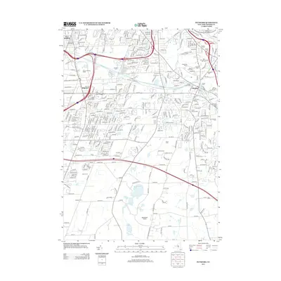
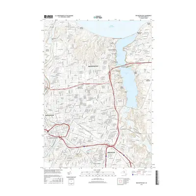
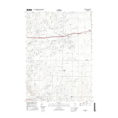
(30)- 2010 Map of Pittsford, 2010 Print
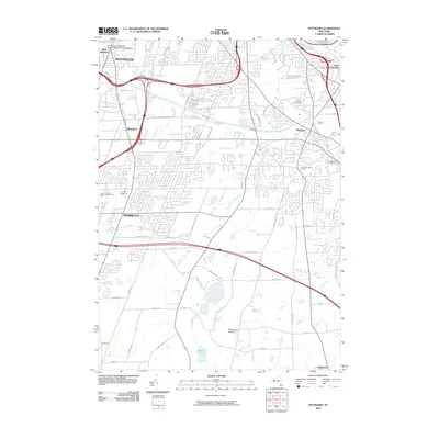 2010 Pittsford2010 Print · USGSCovers Penfield, including Rochester, Henrietta, and other nearby areas
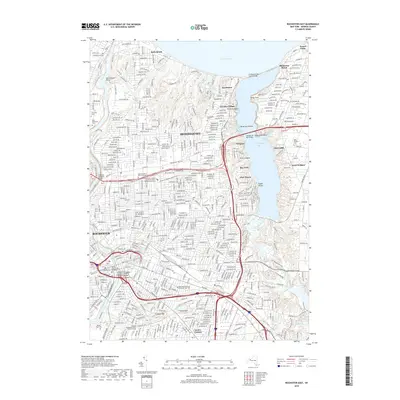
 - 2010 Map of Rochester East, 2010 Print
 2010 Rochester East2010 Print · USGSCovers Penfield, including Rochester, Greece, and other nearby areas
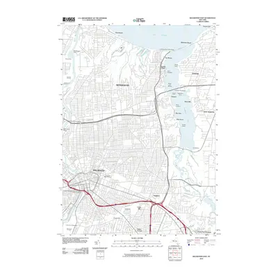
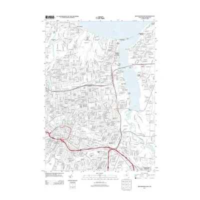
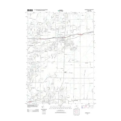
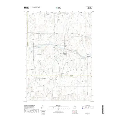
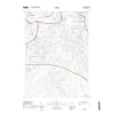
 - 2010 Map of Webster, 2010 Print
 2010 Webster2010 Print · USGSCovers Penfield, including Webster, Ontario, and other nearby areas
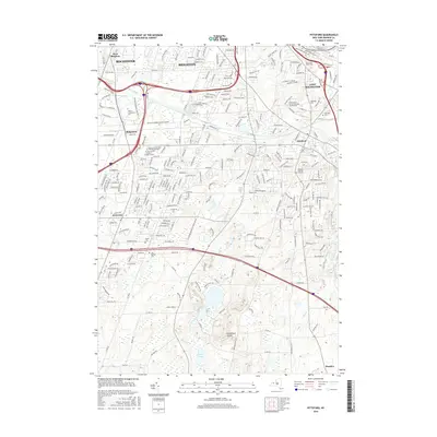
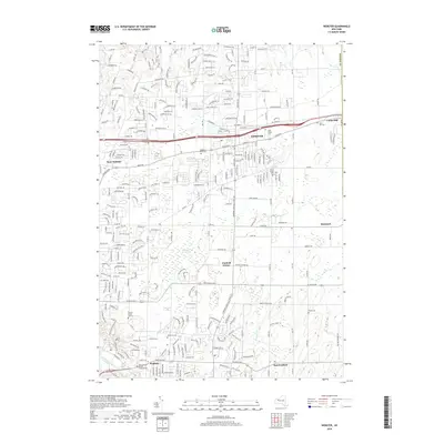
 - 2010 Map of Fairport, 2010 Print
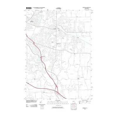 2010 Fairport2010 Print · USGSCovers Penfield, including Perinton, Pittsford, and other nearby areas
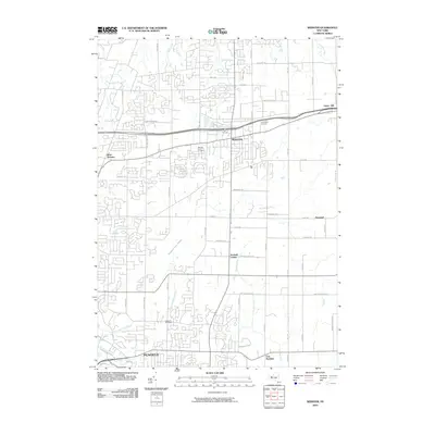
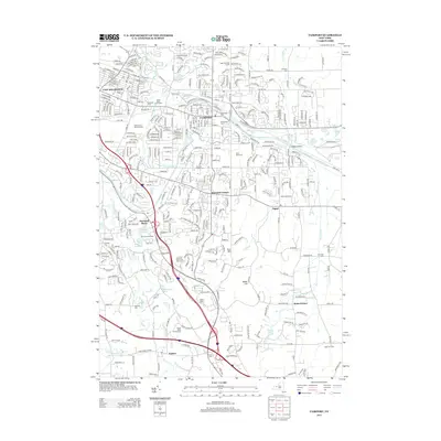
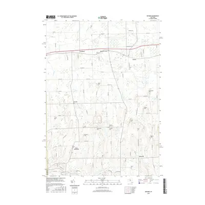
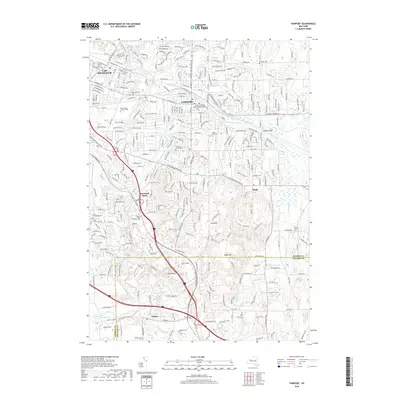
 - 2010 Map of Macedon, 2010 Print
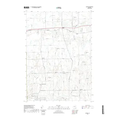
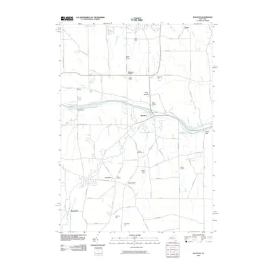 2010 Macedon2010 Print · USGSCovers Penfield, including Perinton, Victor, and other nearby areas
 - 2010 Map of Ontario, 2010 Print
 2010 Ontario2010 Print · USGSCovers Penfield, including Ontario, Walworth, and other nearby areas
 - 2013 Map of Rochester East, 2013 Print
 2013 Rochester East2013 Print · USGSCovers Penfield, including Rochester, Greece, and other nearby areas
 - 2013 Map of Macedon, 2013 Print
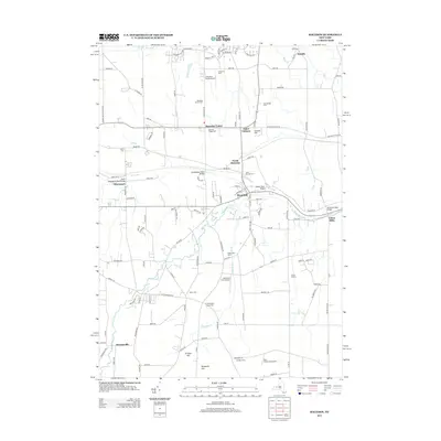 2013 Macedon2013 Print · USGSCovers Penfield, including Perinton, Victor, and other nearby areas
 - 2013 Map of Pittsford, 2013 Print
 2013 Pittsford2013 Print · USGSCovers Penfield, including Rochester, Henrietta, and other nearby areas
 - 2013 Map of Webster, 2013 Print
 2013 Webster2013 Print · USGSCovers Penfield, including Webster, Ontario, and other nearby areas
 - 2013 Map of Fairport, 2013 Print
 2013 Fairport2013 Print · USGSCovers Penfield, including Perinton, Pittsford, and other nearby areas
 - 2013 Map of Ontario, 2013 Print
 2013 Ontario2013 Print · USGSCovers Penfield, including Ontario, Walworth, and other nearby areas
 - 2016 Map of Ontario, 2016 Print
 2016 Ontario2016 Print · USGSCovers Penfield, including Ontario, Walworth, and other nearby areas
 - 2016 Map of Rochester East, 2016 Print
 2016 Rochester East2016 Print · USGSCovers Penfield, including Rochester, Greece, and other nearby areas
 - 2016 Map of Pittsford, 2016 Print
 2016 Pittsford2016 Print · USGSCovers Penfield, including Rochester, Henrietta, and other nearby areas
 - 2016 Map of Fairport, 2016 Print
 2016 Fairport2016 Print · USGSCovers Penfield, including Perinton, Pittsford, and other nearby areas
 - 2016 Map of Macedon, 2016 Print
 2016 Macedon2016 Print · USGSCovers Penfield, including Perinton, Victor, and other nearby areas
 - 2016 Map of Webster, 2016 Print
 2016 Webster2016 Print · USGSCovers Penfield, including Webster, Ontario, and other nearby areas
 - 2019 Map of Fairport, 2019 Print
 2019 Fairport2019 Print · USGSCovers Penfield, including Perinton, Pittsford, and other nearby areas
 - 2019 Map of Macedon, 2019 Print
 2019 Macedon2019 Print · USGSCovers Penfield, including Perinton, Victor, and other nearby areas
 - 2019 Map of Webster, 2019 Print
 2019 Webster2019 Print · USGSCovers Penfield, including Webster, Ontario, and other nearby areas
 - 2019 Map of Ontario, 2019 Print
 2019 Ontario2019 Print · USGSCovers Penfield, including Ontario, Walworth, and other nearby areas
 - 2019 Map of Pittsford, 2019 Print
 2019 Pittsford2019 Print · USGSCovers Penfield, including Rochester, Henrietta, and other nearby areas
 - 2019 Map of Rochester East, 2019 Print
 2019 Rochester East2019 Print · USGSCovers Penfield, including Rochester, Greece, and other nearby areas
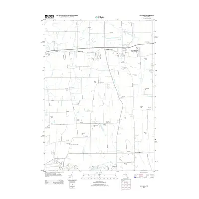
 - 2023 Map of Macedon, 2023 Print
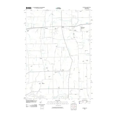
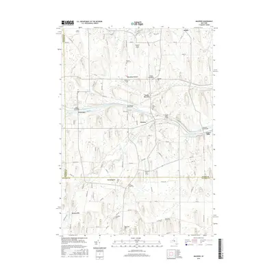
 2023 Macedon2023 Print · USGSWayne County’s canal corridor is documented here in the early twenty-first century, showing the enduring influence of the Erie Canal on local geography. Genealogists and historians can locate legacy sites like the Union Burying Ground, Yellow Mills, and the North Farmington Friends Cem.
Showing maps 1-25 of 30
Top cities near Penfield
- Rochester historical maps
- Greece historical maps
- Irondequoit historical maps
- Perinton historical maps
- Henrietta historical maps
- Webster historical maps
See more
Top neighborhoods of Penfield
- East Penfield historical maps
- Penfield Center historical maps
- Panorama historical maps
- Roseland historical maps
Frequently asked questions
- What are the different types of historical maps available for Penfield?
- What is the oldest map of Penfield?
- Where can I purchase historical maps of Penfield for my home or office?
- Where can I download high-res historical maps of Penfield?
- Are there historical topographic maps available for Penfield?
- Is there historical aerial imagery available for Penfield?
- Where are historical maps of Penfield sourced from?