2000s (21st Century) Maps of Boonville, New York
Explore 25 historic maps of Boonville from the 2000s (21st Century). These maps offer a rare glimpse into what life looked like during the 2000s — showing old roads, neighborhoods, homes, and landmarks that have changed or disappeared over time.
Whether you're researching your family's past, planning a metal detecting trip, or studying how Boonville's landscape evolved across the 2000s, these high-resolution maps are a powerful tool for exploring the history of this region.
- Focus on a specific era: All maps on this page are from the 2000s, giving you a focused view of this time period.
- See what’s changed: Compare century-old streets, trails, and buildings to today's modern landscape using overlays and satellite layers.
- Research with precision: Use these maps for genealogy, historical research, land use analysis, or educational projects.
- View, download, or print: Maps are fully viewable online in high resolution, and can be downloaded or printed for your own records.
Start exploring Boonville's history through authentic maps from the 2000s. This is your window into the past.
Boonville, NY maps
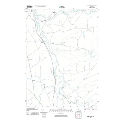
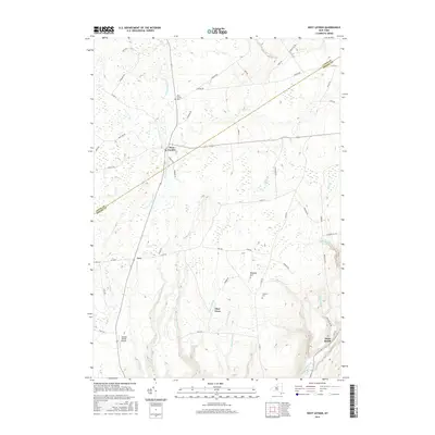
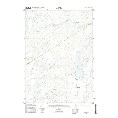
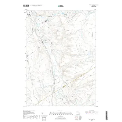
(25)- 2010 Map of West Leyden, 2010 Print
 2010 West Leyden2010 Print · USGSCovers Boonville, including Lee, Western, and other nearby areas
 - 2010 Map of Forestport, 2010 Print
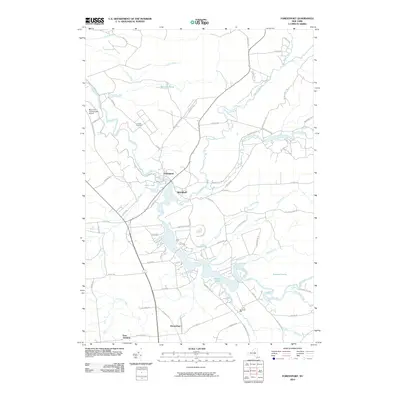 2010 Forestport2010 Print · USGSCovers Boonville, including Remsen, Forestport, and other nearby areas
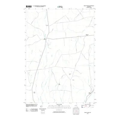
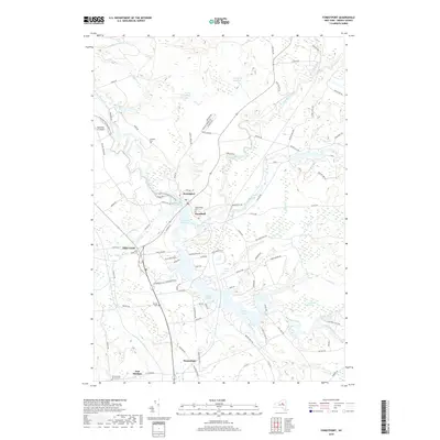
 - 2010 Map of Boonville, 2010 Print
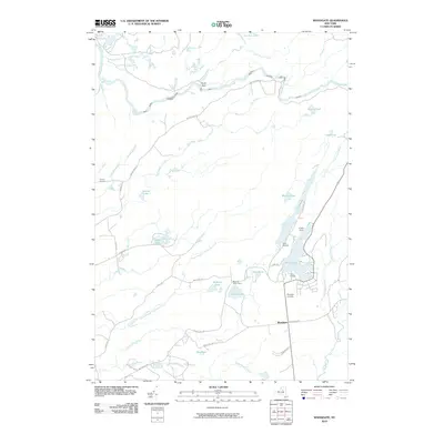
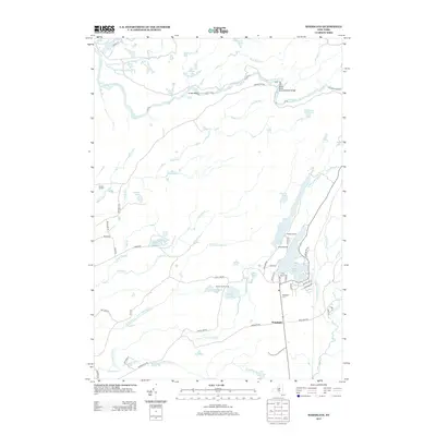
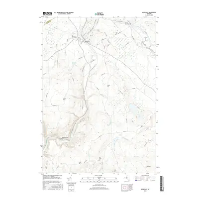
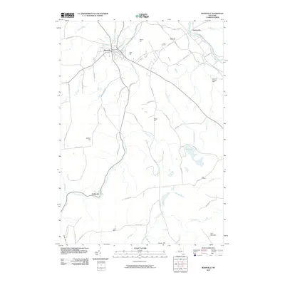 2010 Boonville2010 Print · USGSCovers Boonville, including Western, Leyden, and other nearby areas
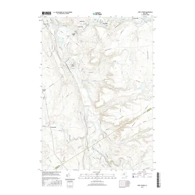
 - 2010 Map of Port Leyden, 2010 Print
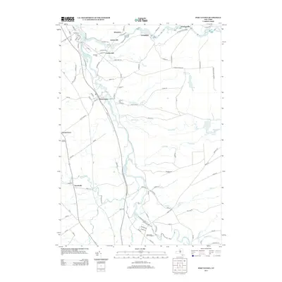
 2010 Port Leyden2010 Print · USGSCovers Boonville, including West Turin, Leyden, and other nearby areas
 - 2010 Map of Woodgate, 2010 Print
 2010 Woodgate2010 Print · USGSCovers Boonville, including Forestport, Lyonsdale, and other nearby areas
 - 2013 Map of Boonville, 2013 Print
 2013 Boonville2013 Print · USGSCovers Boonville, including Western, Leyden, and other nearby areas
 - 2013 Map of West Leyden, 2013 Print
 2013 West Leyden2013 Print · USGSCovers Boonville, including Lee, Western, and other nearby areas
 - 2013 Map of Forestport, 2013 Print
 2013 Forestport2013 Print · USGSCovers Boonville, including Remsen, Forestport, and other nearby areas
 - 2013 Map of Woodgate, 2013 Print
 2013 Woodgate2013 Print · USGSCovers Boonville, including Forestport, Lyonsdale, and other nearby areas
 - 2013 Map of Port Leyden, 2013 Print
 2013 Port Leyden2013 Print · USGSCovers Boonville, including West Turin, Leyden, and other nearby areas
 - 2016 Map of Forestport, 2016 Print
 2016 Forestport2016 Print · USGSCovers Boonville, including Remsen, Forestport, and other nearby areas
 - 2016 Map of West Leyden, 2016 Print
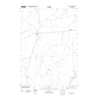
 2016 West Leyden2016 Print · USGSCovers Boonville, including Lee, Western, and other nearby areas
 - 2016 Map of Boonville, 2016 Print
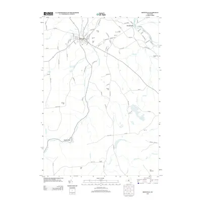
 2016 Boonville2016 Print · USGSCovers Boonville, including Western, Leyden, and other nearby areas
 - 2016 Map of Woodgate, 2016 Print
 2016 Woodgate2016 Print · USGSCovers Boonville, including Forestport, Lyonsdale, and other nearby areas
 - 2016 Map of Port Leyden, 2016 Print
 2016 Port Leyden2016 Print · USGSCovers Boonville, including West Turin, Leyden, and other nearby areas
 - 2019 Map of Boonville, 2019 Print
 2019 Boonville2019 Print · USGSCovers Boonville, including Western, Leyden, and other nearby areas
 - 2019 Map of Forestport, 2019 Print
 2019 Forestport2019 Print · USGSCovers Boonville, including Remsen, Forestport, and other nearby areas
 - 2019 Map of Port Leyden, 2019 Print
 2019 Port Leyden2019 Print · USGSCovers Boonville, including West Turin, Leyden, and other nearby areas
 - 2019 Map of Woodgate, 2019 Print
 2019 Woodgate2019 Print · USGSCovers Boonville, including Forestport, Lyonsdale, and other nearby areas
 - 2019 Map of West Leyden, 2019 Print
 2019 West Leyden2019 Print · USGSCovers Boonville, including Lee, Western, and other nearby areas
 - 2023 Map of Boonville, 2023 Print
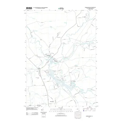
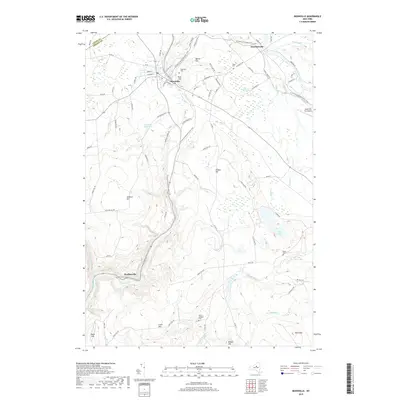
 2023 Boonville2023 Print · USGSOneida County at the start of the 2020s shows the enduring footprint of its canal and river history. Genealogists and hikers can trace the North Country National Scenic Trail through Boonville, Hawkinsville, and the outskirts of Hurlbutville.
 - 2023 Map of Woodgate, 2023 Print
 2023 Woodgate2023 Print · USGSOneida County wilderness and the Adirondack fringe are captured here in the early twenty-first century. Researchers can trace forest trails and local landmarks like Woodgate Cem, the settlement of Woodgate, and the shores of White Lake.
 - 2023 Map of West Leyden, 2023 Print
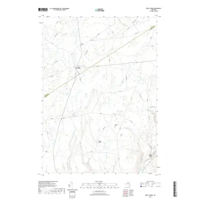
 2023 West Leyden2023 Print · USGSOneida and Lewis counties maintain their rural character in this recent survey of the Tug Hill plateau. Genealogists can trace family names at West Leyden Cem and Thornton Cem, while historians can follow the path of the Black River Canal along Lansing Kill.
 - 2023 Map of Port Leyden, 2023 Print
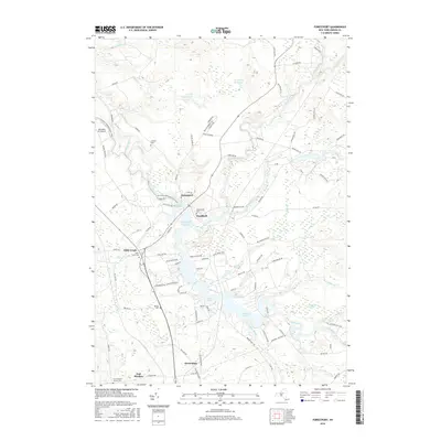
 2023 Port Leyden2023 Print · USGSThe confluence of the Black and Moose Rivers at Lyons Falls and Port Leyden remains central to this Lewis County landscape. Trace family roots and local industry through Wildwood Cem, the settlement at Talcottville, and the waters of Agers Falls.
 - 2023 Map of Forestport, 2023 Print
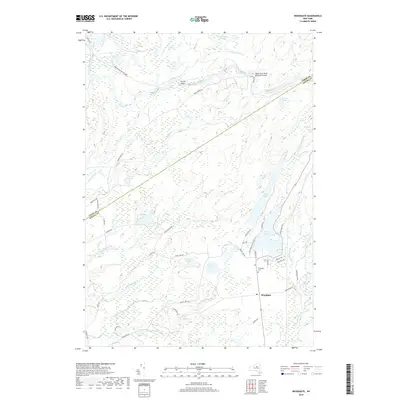
 2023 Forestport2023 Print · USGSOneida County's river-driven landscapes come into focus in this contemporary survey of the Black River valley. Trace local lineage at Beechwood Cem and Alder Creek Cem, or explore the shores of Kayuta Lake and the Forestport Reservoir.
End of results
Showing maps 1-25 of 25
Top cities near Boonville
- Rome historical maps
- Lee historical maps
- Trenton historical maps
- Floyd historical maps
- Lake Delta historical maps
- Russia historical maps
See more
Top neighborhoods of Boonville
- Alder Creek historical maps
- Hurlbutville historical maps
- Hawkinsville historical maps
- Boonville historical maps
Frequently asked questions
- What are the different types of historical maps available for Boonville?
- What is the oldest map of Boonville?
- Where can I purchase historical maps of Boonville for my home or office?
- Where can I download high-res historical maps of Boonville?
- Are there historical topographic maps available for Boonville?
- Is there historical aerial imagery available for Boonville?
- Where are historical maps of Boonville sourced from?