Old Maps of Fink Hollow, Steuben for Hiking & Exploration
Hike through history with 14 historic maps of Fink Hollow. Explore old trails, ghost towns, and forgotten backroads — perfect for outdoor adventurers and local explorers.
- Rediscover forgotten places: Map out old mining camps, roads, and footpaths that no longer exist on modern maps.
- Layer with modern tools: Combine with LiDAR or satellite views to plan hikes through historical terrain.
- Made for exploration: Popular among hikers, overlanders, and local history lovers.
Use these maps to find adventure and explore the hidden past of Fink Hollow.
Fink Hollow, Steuben maps
(14)- 1904 Map of Boonville
 1904 Boonville1904 Print · USGSOneida County at the start of the twentieth century was defined by its water and rail networks, dominated by the Black River Canal and the N. Y. C. and H. R. R. R. Trace the early layout of Boonville and rural settlements like Westernville or North Western.6 unique versions available
 - 1947 Map of North Western
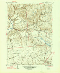 1947 North Western1947 Print · USGSOneida County's uplands and river valleys are frozen in time just after the war, showing a network of small hamlets and family farms. Local historians can trace early school sites like South Hill Sch and numerous burial grounds including PENN MTN CEM and WARD CEM.2 unique versions available
 - 1950 Map of Utica, 1951 Print
 1950 Utica1951 Print · USGSCentral New York in the post-war era showcases the industrial Mohawk Valley and the pristine Adirondack interior. Researchers can trace transportation networks like the New York Central Railroad and find early Cold War sites such as Griffiss Air Force Base.
 - 1955 Map of North Western, 1957 Print
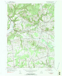 1955 North Western1957 Print · USGSOneida County's rural uplands are shown in detail during the mid-1950s, highlighting the transition between valley farms and state woodlands. You can locate family burial grounds like Carmichael Hill Cem and Steuben Cem or trace old school sites such as Gifford Hill Sch.2 unique versions available
 - 1957 Map of Utica
 1957 Utica1957 Print · USGSCentral New York and the Adirondack foothills are captured here in the mid-fifties, showing a landscape defined by the Mohawk River corridor and the growing highway system. Genealogists and researchers can trace the rail lines of the New York Central and locate communities from Lowville to Gloversville.
 - 1962 Map of Utica
 1962 Utica1962 Print · USGSCentral New York and the Adirondack wilderness are captured here during the mid-century era of highway and industrial expansion. Genealogists and historians can trace the development of the New York State Thruway and local rail lines connecting Utica, Rome, and Gloversville.3 unique versions available
 - 1964 Map of Utica
 1964 Utica1964 Print · USGSCentral New York and the high wilderness of the Adirondacks are captured here during the post-war era of infrastructure expansion. Researchers can trace the development of the New York State Thruway alongside historic corridors like the Oneida Lake (Barge Canal Route) and the N. Y. Central railroad.
 - 1967 Map of Utica
 1967 Utica1967 Print · USGSCentral New York's industrial Mohawk Valley meets the Adirondack wilderness in the 1960s, showing the region's transition from manufacturing hubs to state-managed parklands. Trace historic settlements and sites like Griffiss Air Force Base, Colgate University, and the Lyons Falls Paper Mill.
 - 1985 Map of Utica, 1986 Print
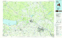 1985 Utica1986 Print · USGSThe Mohawk Valley in the mid-eighties shows a landscape of industrial river cities and high-tech military hubs before the post-Cold War transition. Trace the development of Rome and Utica, the operations at Griffiss Air Force Base, and the lakeside activity at Oneida Lake.2 unique versions available
 - 2010 Map of North Western, 2010 Print
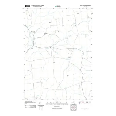 2010 North Western2010 Print · USGSThe Oneida County uplands come into focus in this contemporary survey of the hills and creek valleys north of Rome. Genealogists can trace family heritage across numerous local burial sites, including the Frenchville Cemetery, Steuben Cemetery, and Ward Cemetery.
 - 2013 Map of North Western, 2013 Print
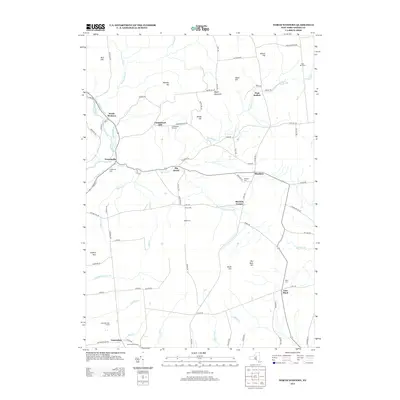 2013 North Western2013 Print · USGSOneida County at the start of the 2010s shows a landscape shaped by the legacy of the Black River Canal and historic upland farming. Genealogists can locate several remote burial sites including Carmichael Hill Cem, Stone Cem, and Penn Mtn Cem.
 - 2016 Map of North Western, 2016 Print
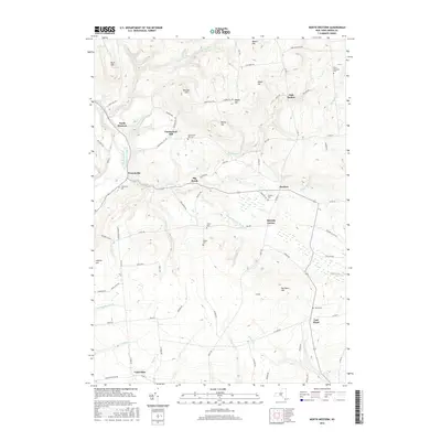 2016 North Western2016 Print · USGSOneida County's highland terrain and historic water routes are captured here in the mid-2010s, centered on the Mohawk River Black River Canal corridor. Family historians can locate numerous burial sites like Penn Mountain Cem and Carmichael Hill Cem among the hills of North Western.
 - 2019 Map of North Western, 2019 Print
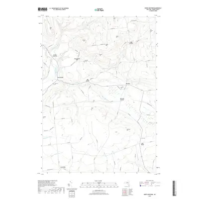 2019 North Western2019 Print · USGSOneida County's uplands and the historic canal corridor are captured here in the late twenty-teens. Researchers can trace family sites through numerous burial grounds like Frenchville Cem, Steuben Cem, and Ward Cem.
 - 2023 Map of North Western, 2023 Print
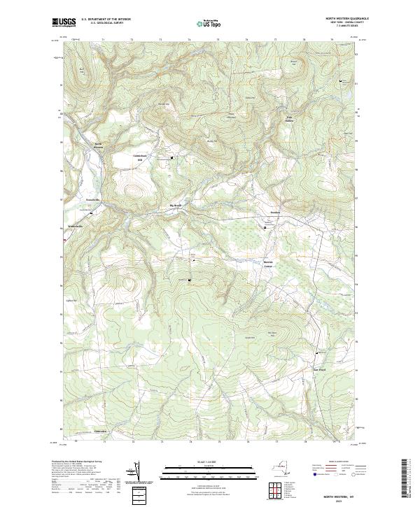 2023 North Western2023 Print · USGSOneida County's upland terrain and river valleys are captured here in the contemporary era, showing the enduring rural character of the region. Genealogists and historians can locate family landmarks like Nisbet Cem and the small settlements of Frenchville and East Floyd.
End of results
Showing maps 1-14 of 14
Top cities near Fink Hollow
- Utica historical maps
- Rome historical maps
- Whitestown historical maps
- Marcy historical maps
- Lee historical maps
- Westmoreland historical maps
See more
Frequently asked questions
- What are the different types of historical maps available for Fink Hollow?
- What is the oldest map of Fink Hollow?
- Where can I purchase historical maps of Fink Hollow for my home or office?
- Where can I download high-res historical maps of Fink Hollow?
- Are there historical topographic maps available for Fink Hollow?
- Is there historical aerial imagery available for Fink Hollow?
- Where are historical maps of Fink Hollow sourced from?