2000s (21st Century) Maps of Vernon, New York
Explore 15 historic maps of Vernon from the 2000s (21st Century). These maps offer a rare glimpse into what life looked like during the 2000s — showing old roads, neighborhoods, homes, and landmarks that have changed or disappeared over time.
Whether you're researching your family's past, planning a metal detecting trip, or studying how Vernon's landscape evolved across the 2000s, these high-resolution maps are a powerful tool for exploring the history of this region.
- Focus on a specific era: All maps on this page are from the 2000s, giving you a focused view of this time period.
- See what’s changed: Compare century-old streets, trails, and buildings to today's modern landscape using overlays and satellite layers.
- Research with precision: Use these maps for genealogy, historical research, land use analysis, or educational projects.
- View, download, or print: Maps are fully viewable online in high resolution, and can be downloaded or printed for your own records.
Start exploring Vernon's history through authentic maps from the 2000s. This is your window into the past.
Vernon, NY maps
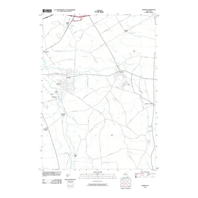
(15)- 2010 Map of Oneida, 2010 Print
 2010 Oneida2010 Print · USGSCovers Vernon, including Oneida, Lenox, and other nearby areas
 - 2010 Map of Clinton, 2010 Print
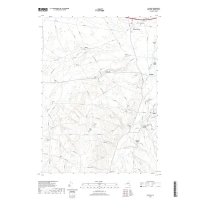
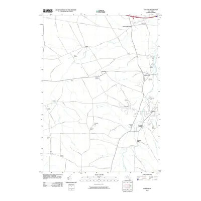 2010 Clinton2010 Print · USGSCovers Vernon, including Whitestown, Kirkland, and other nearby areas
 - 2010 Map of Vernon, 2010 Print
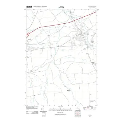
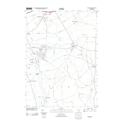
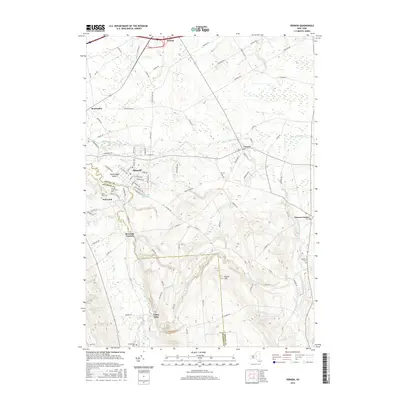
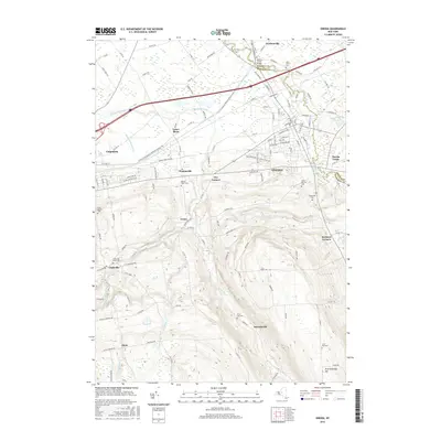
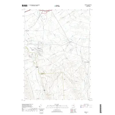
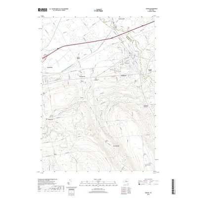
 2010 Vernon2010 Print · USGSCovers Vernon, including Oneida, Verona, and other nearby areas
 - 2013 Map of Clinton, 2013 Print
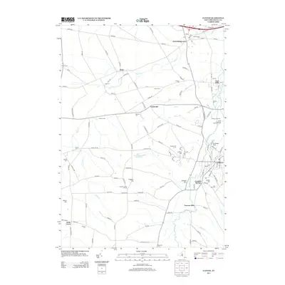 2013 Clinton2013 Print · USGSCovers Vernon, including Whitestown, Kirkland, and other nearby areas
 - 2013 Map of Vernon, 2013 Print
 2013 Vernon2013 Print · USGSCovers Vernon, including Oneida, Verona, and other nearby areas
 - 2013 Map of Oneida, 2013 Print
 2013 Oneida2013 Print · USGSCovers Vernon, including Oneida, Lenox, and other nearby areas
 - 2016 Map of Clinton, 2016 Print
 2016 Clinton2016 Print · USGSCovers Vernon, including Whitestown, Kirkland, and other nearby areas
 - 2016 Map of Vernon, 2016 Print
 2016 Vernon2016 Print · USGSCovers Vernon, including Oneida, Verona, and other nearby areas
 - 2016 Map of Oneida, 2016 Print
 2016 Oneida2016 Print · USGSCovers Vernon, including Oneida, Lenox, and other nearby areas
 - 2019 Map of Vernon, 2019 Print
 2019 Vernon2019 Print · USGSCovers Vernon, including Oneida, Verona, and other nearby areas
 - 2019 Map of Clinton, 2019 Print
 2019 Clinton2019 Print · USGSCovers Vernon, including Whitestown, Kirkland, and other nearby areas
 - 2019 Map of Oneida, 2019 Print
 2019 Oneida2019 Print · USGSCovers Vernon, including Oneida, Lenox, and other nearby areas
 - 2023 Map of Oneida, 2023 Print
 2023 Oneida2023 Print · USGSMadison County's central corridor is captured in the modern era, showing the transition from the city of Oneida to the surrounding hills. Family historians can trace local roots at Saint Patricks Cem, the Madison County Courthouse, or the vanished industrial footprints of Lenox Basin.
 - 2023 Map of Clinton, 2023 Print
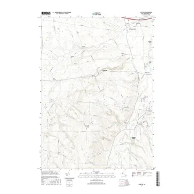
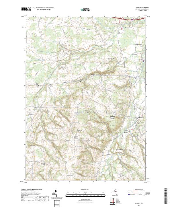 2023 Clinton2023 Print · USGSThe educational landscape of central New York comes alive in this contemporary view of Clinton and Hamilton College. Researchers can trace local lineage across numerous burial sites like Evergreen Cem or locate the quiet hamlets of Lairdsville and Franklin Springs.
 - 2023 Map of Vernon, 2023 Print
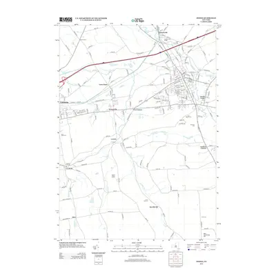
 2023 Vernon2023 Print · USGSCentral New York’s rural landscape is mapped here at the boundary of Oneida and Madison counties. Genealogists can trace family heritage at Oneida Community Cem, Valley Mills, and Skinner Cem.
End of results
Showing maps 1-15 of 15
Top cities near Vernon
- Rome historical maps
- New Hartford historical maps
- Whitestown historical maps
- Oneida historical maps
- Kirkland historical maps
- Marcy historical maps
See more
Top neighborhoods of Vernon
Frequently asked questions
- What are the different types of historical maps available for Vernon?
- What is the oldest map of Vernon?
- Where can I purchase historical maps of Vernon for my home or office?
- Where can I download high-res historical maps of Vernon?
- Are there historical topographic maps available for Vernon?
- Is there historical aerial imagery available for Vernon?
- Where are historical maps of Vernon sourced from?