Old Maps of Western, New York for Metal Detecting
Plan your next treasure hunt with 37 historic maps of Western. Find old homesites, ghost towns, trails, and gathering spots that may be lost to time — perfect for identifying promising metal detecting locations.
- Locate forgotten sites: Uncover places like long-lost settlements, abandoned rail lines, or gathering spots.
- Plan better hunts: Use map overlays combined with LiDAR or satellite views to narrow in on historically rich areas.
- Made for detectorists: Thousands of hobbyists use these maps to discover relics, coins, and hidden history.
Use these historic maps to boost your research and find new opportunities beneath the surface of Western.
Western, NY maps
(37)- 1904 Map of Boonville
 1904 Boonville1904 Print · USGSOneida County at the start of the twentieth century was defined by its water and rail networks, dominated by the Black River Canal and the N. Y. C. and H. R. R. R. Trace the early layout of Boonville and rural settlements like Westernville or North Western.6 unique versions available
 - 1945 Map of Boonville, 1954 Print
 1945 Boonville1954 Print · USGSOneida County at the close of the Second World War shows a landscape defined by the Black River and the rail lines. Genealogists and local historians can trace rural school districts like School No 5, the Hayes Cem, and the village layout of Boonville.
 - 1946 Map of West Leyden
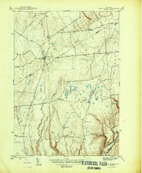 1946 West Leyden1946 Print · USGSThe rural borderlands of Oneida and Lewis counties come into focus just after the war. Local historians can trace a lost network of rural education and community life through Alger Sch, West Leyden Cem, and the small settlement at Flint Town.
 - 1947 Map of West Leyden
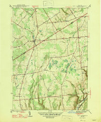 1947 West Leyden1947 Print · USGSThe rural borders of Lewis and Oneida counties come alive in the mid-1940s, centered on the village of West Leyden and the East Branch Mohawk River. Genealogists can trace family connections at Thornton Cem and explore vanished district schools like Evans Sch or Bates Sch.2 unique versions available
 - 1947 Map of Boonville
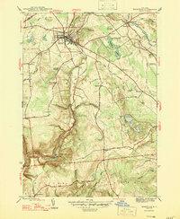 1947 Boonville1947 Print · USGSOneida County in the mid-1940s shows a landscape defined by the winding Black River and the historic Black River Canal. Genealogists can locate several rural schoolhouses and family landmarks like Hayes Cem, North Steuben Ch, and Pixley Falls.
 - 1947 Map of Westernville
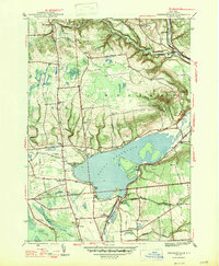 1947 Westernville1947 Print · USGSThe Mohawk River valley in the late 1940s centers on the Delta Reservoir and the community of Westernville. Researchers can locate several family-named landmarks and local burial grounds like Rogers Cem and Polish Cem.2 unique versions available
 - 1947 Map of North Western
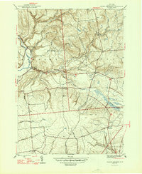 1947 North Western1947 Print · USGSOneida County's uplands and river valleys are frozen in time just after the war, showing a network of small hamlets and family farms. Local historians can trace early school sites like South Hill Sch and numerous burial grounds including PENN MTN CEM and WARD CEM.2 unique versions available
 - 1950 Map of Utica, 1951 Print
 1950 Utica1951 Print · USGSCentral New York in the post-war era showcases the industrial Mohawk Valley and the pristine Adirondack interior. Researchers can trace transportation networks like the New York Central Railroad and find early Cold War sites such as Griffiss Air Force Base.
 - 1955 Map of North Western, 1957 Print
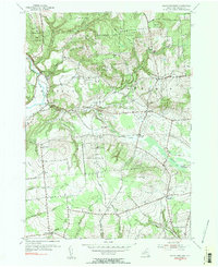 1955 North Western1957 Print · USGSOneida County's rural uplands are shown in detail during the mid-1950s, highlighting the transition between valley farms and state woodlands. You can locate family burial grounds like Carmichael Hill Cem and Steuben Cem or trace old school sites such as Gifford Hill Sch.2 unique versions available
 - 1955 Map of Westernville, 1957 Print
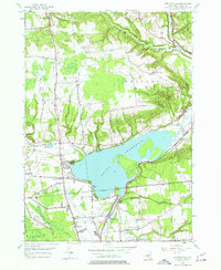 1955 Westernville1957 Print · USGSOneida County in the mid-fifties is captured here as a landscape of highland farms and state forests surrounding the expansive Delta Reservoir. Genealogists and local historians can trace rural schoolhouses like Lorena Sch, family cemeteries such as Welsh Cem, and the early footprint of the Jervis Test Site.5 unique versions available
 - 1955 Map of West Leyden, 1957 Print
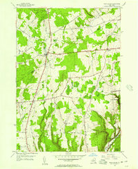 1955 West Leyden1957 Print · USGSThe upland forests and headwaters of the Mohawk River are captured here in the mid-1950s, showing the rural character of the Oneida and Lewis County line. Researchers can locate local burial sites like Thornton Cem and trace the path of the historic Black River Canal.2 unique versions available
 - 1955 Map of Boonville, 1957 Print
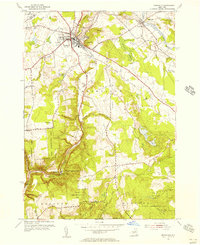 1955 Boonville1957 Print · USGSBoonville and the surrounding Oneida County highlands are captured here in the mid-1950s, showing a landscape of deep river gorges and upland farms. Researchers can locate historic landmarks like North Steuben Ch, Egypt Cem, and the old Fairgrounds.3 unique versions available
 - 1957 Map of Utica
 1957 Utica1957 Print · USGSCentral New York and the Adirondack foothills are captured here in the mid-fifties, showing a landscape defined by the Mohawk River corridor and the growing highway system. Genealogists and researchers can trace the rail lines of the New York Central and locate communities from Lowville to Gloversville.
 - 1962 Map of Utica
 1962 Utica1962 Print · USGSCentral New York and the Adirondack wilderness are captured here during the mid-century era of highway and industrial expansion. Genealogists and historians can trace the development of the New York State Thruway and local rail lines connecting Utica, Rome, and Gloversville.3 unique versions available
 - 1964 Map of Utica
 1964 Utica1964 Print · USGSCentral New York and the high wilderness of the Adirondacks are captured here during the post-war era of infrastructure expansion. Researchers can trace the development of the New York State Thruway alongside historic corridors like the Oneida Lake (Barge Canal Route) and the N. Y. Central railroad.
 - 1967 Map of Utica
 1967 Utica1967 Print · USGSCentral New York's industrial Mohawk Valley meets the Adirondack wilderness in the 1960s, showing the region's transition from manufacturing hubs to state-managed parklands. Trace historic settlements and sites like Griffiss Air Force Base, Colgate University, and the Lyons Falls Paper Mill.
 - 1985 Map of Utica, 1986 Print
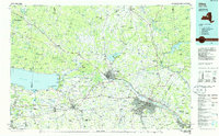 1985 Utica1986 Print · USGSThe Mohawk Valley in the mid-eighties shows a landscape of industrial river cities and high-tech military hubs before the post-Cold War transition. Trace the development of Rome and Utica, the operations at Griffiss Air Force Base, and the lakeside activity at Oneida Lake.2 unique versions available
 - 2010 Map of West Leyden, 2010 Print
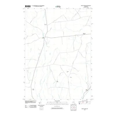 2010 West Leyden2010 Print · USGSWest Leyden and the upper reaches of the East Branch Mohawk River are shown here in the early twenty-first century. Researchers can trace rural lineages at West Leyden Cemetery or locate the small settlements of Flint Town and Redmond Corner.
 - 2010 Map of Boonville, 2010 Print
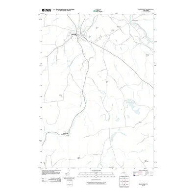 2010 Boonville2010 Print · USGSBoonville and its surrounding hamlets are captured at the start of the 2010s, showcasing the area's transition from historical canal corridors to modern rural life. Genealogists and hikers can trace the Canal Towpath, locate the secluded Egypt Cemetery, and identify natural landmarks like Pixley Falls.
 - 2010 Map of Westernville, 2010 Print
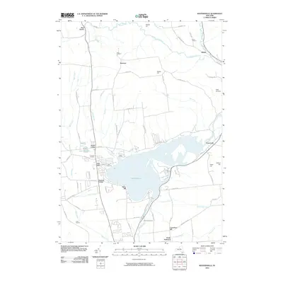 2010 Westernville2010 Print · USGSOneida County's shoreline and hill communities are documented here in the early twenty-first century. Genealogists and historians can trace family roots at Polish Cemetery and Welsh Cemetery or explore the area around Delta Reservoir and the Rome Fish Hatchery.
 - 2010 Map of North Western, 2010 Print
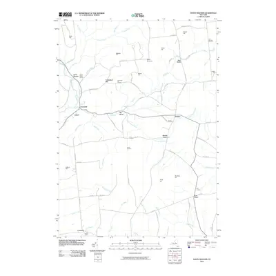 2010 North Western2010 Print · USGSThe Oneida County uplands come into focus in this contemporary survey of the hills and creek valleys north of Rome. Genealogists can trace family heritage across numerous local burial sites, including the Frenchville Cemetery, Steuben Cemetery, and Ward Cemetery.
 - 2013 Map of Boonville, 2013 Print
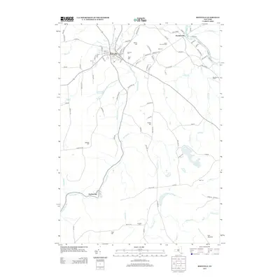 2013 Boonville2013 Print · USGSBoonville and the surrounding Oneida County uplands are captured here in the early twenty-first century. Researchers can trace the path of the historic Black River Canal and locate family landmarks like Hayes Cem, N Steuben Cem, and the falls at Pixley Falls.
 - 2013 Map of West Leyden, 2013 Print
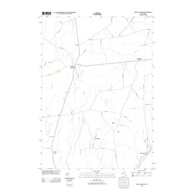 2013 West Leyden2013 Print · USGSOneida County's rural uplands are shown in detail during the early 2010s, centered on the headwaters of the Mohawk. Local historians can trace the legacy of hamlets like Flint Town and Redmond Corner or locate the historic Black River Canal.
 - 2013 Map of North Western, 2013 Print
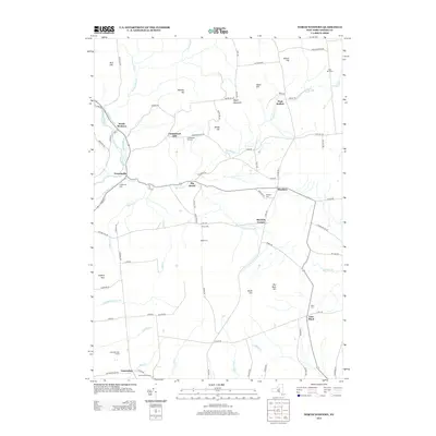 2013 North Western2013 Print · USGSOneida County at the start of the 2010s shows a landscape shaped by the legacy of the Black River Canal and historic upland farming. Genealogists can locate several remote burial sites including Carmichael Hill Cem, Stone Cem, and Penn Mtn Cem.
 - 2013 Map of Westernville, 2013 Print
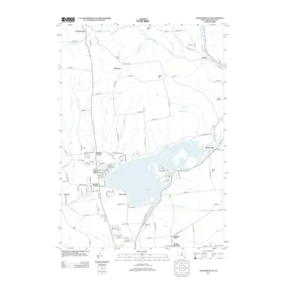 2013 Westernville2013 Print · USGSOneida County’s river valleys and water infrastructure are clearly defined here in the early twenty-first century. Genealogists and local historians can trace legacy sites like Wright Settlement, the historic Black River Canal, and the Welsh Cem.
Showing maps 1-25 of 37
Top cities near Western
- Utica historical maps
- Rome historical maps
- Whitestown historical maps
- Oneida historical maps
- Marcy historical maps
- Lee historical maps
See more
Top neighborhoods of Western
- Hillside historical maps
- Frenchville historical maps
- North Western historical maps
- Big Brook historical maps
- Beartown historical maps
- Carmichael Hill historical maps
See more
Frequently asked questions
- What are the different types of historical maps available for Western?
- What is the oldest map of Western?
- Where can I purchase historical maps of Western for my home or office?
- Where can I download high-res historical maps of Western?
- Are there historical topographic maps available for Western?
- Is there historical aerial imagery available for Western?
- Where are historical maps of Western sourced from?