Old Maps of South Bristol, New York for Academic Research
Study the evolution of South Bristol with 36 high-resolution historic maps. Whether you're teaching, researching, or modeling changes in land use, these maps provide essential visual documentation of urban, environmental, and geographic change.
- Analyze long-term change: Track patterns in development, transportation, and natural features.
- Ideal for environmental or urban studies: Support academic projects with primary historical map data.
- Use in the classroom or lab: Educators and researchers rely on these maps to bring historical context to life.
These maps are a powerful tool for teaching, research, and visualizing how South Bristol has changed over the decades.
South Bristol, NY maps
(36)- 1900 Map of Naples, 1956 Print
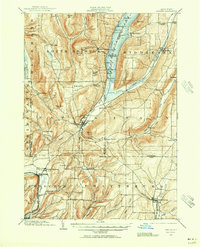 1900 Naples1956 Print · USGSThe Finger Lakes region at the turn of the century shows a landscape of steep ridges and rail-dependent valley towns. Genealogists and historians can trace the vanished tracks of the Kanona and Prattsburg R.R. or locate old community centers like Barker Church and Ingleside.2 unique versions available
 - 1900 Map of Canandaigua, 1961 Print
 1900 Canandaigua1961 Print · USGSOntario County at the turn of the century shows a landscape defined by the steam-era commerce of the Finger Lakes. Genealogists can trace family connections to rural hubs like Baptist Hill, follow the Steamboat Route on Canandaigua Lake, or locate family farms near Thompson Cor and Mertensia.
 - 1903 Map of Naples
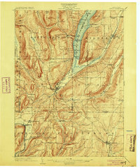 1903 Naples1903 Print · USGSThe Finger Lakes region at the turn of the century shows a landscape defined by deep valleys and essential transit routes. Trace the old STEAMBOAT ROUTE on Canandaigua Lake or locate early industrial sites like the Naples Tannery and Barker Church.7 unique versions available
 - 1903 Map of Canandaigua
 1903 Canandaigua1903 Print · USGSThe Finger Lakes region thrived at the dawn of the century, defined by a bustling network of railroads and steamboat traffic. Researchers can trace historic family landmarks at Baptist Hill, Mc Millen Corners, and lakefront points like Cottage City.7 unique versions available
 - 1913 Map of Naples
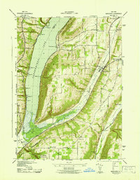
 1913 Naples1913 Print · USGSThe Finger Lakes region at the start of the twentieth century shows a landscape of deep waters and steep ridges connected by steam and rail. Trace the historic Steamboat Route on Canandaigua Lake and follow the rail lines to Naples or Prattsburg.
 - 1942 Map of Bristol Springs
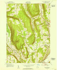
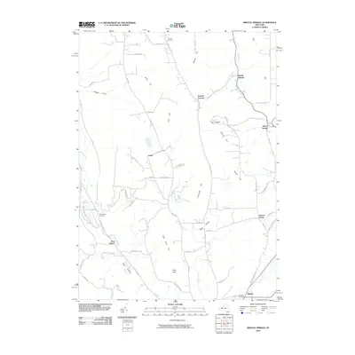
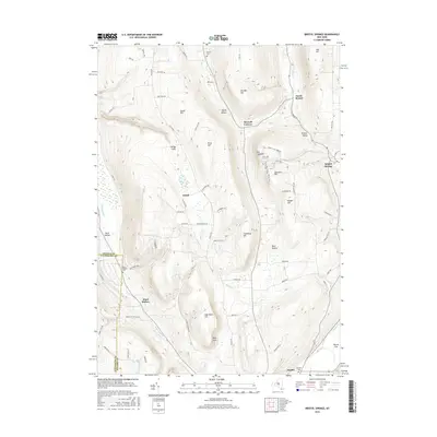
 1942 Bristol Springs1942 Print · USGSIn the uplands of Ontario County during the early 1940s, this landscape shows a network of hilltop farms and valley settlements before post-war changes. Researchers can locate several numbered schoolhouses, the Hunt Hollow Cem, and the LEHIGH VALLEY railroad line near Naples.
 - 1942 Map of Middlesex
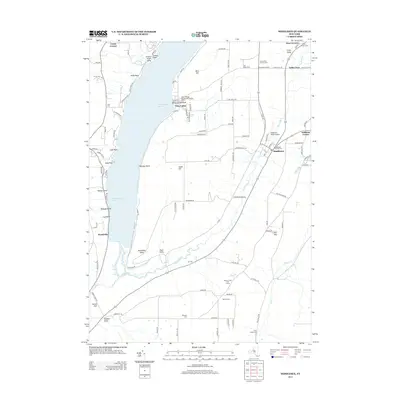
 1942 Middlesex1942 Print · USGSThe eastern shores of Canandaigua Lake and the village of Middlesex are captured here during the early war years. Researchers can trace the Lehigh Valley rail line, find several rural burial grounds like Cove Cem, and locate numerous district schools.4 unique versions available
 - 1942 Map of Canandaigua Lake
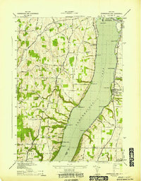 1942 Canandaigua Lake1942 Print · USGSCanandaigua Lake and its eastern and western shores are captured here during the early 1940s. Genealogists and local historians can trace the lakeside landings and rural family plots including Lucas Cem, Remington Cem, and the community at Cheshire.
 - 1943 Map of Bristol Springs, 1953 Print
 1943 Bristol Springs1953 Print · USGSThe Finger Lakes uplands of Ontario County appear here just as the war years began, showing a landscape of high ridges and deep hollows. Researchers can find numerous district schoolhouses, family burial grounds like Hunt Hollow Cem, and the path of the Lehigh Valley railroad through Naples.4 unique versions available
 - 1950 Map of Elmira
 1950 Elmira1950 Print · USGSThe Finger Lakes region thrived in the late 1940s as a hub of industry and transport. Trace family roots and vanished landmarks near Seneca Lake or explore the rail lines of the Erie RR and the sprawling Seneca Ordnance Depot.2 unique versions available
 - 1951 Map of Bristol Center, 1952 Print
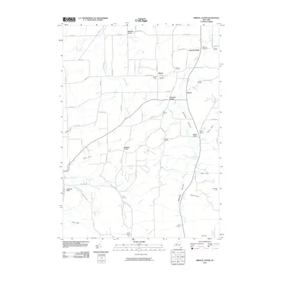
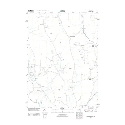
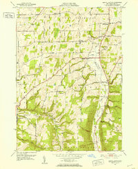 1951 Bristol Center1952 Print · USGSThe Bristol Valley region of Ontario County is shown in the early fifties as a landscape of rural crossroads and family-run hill farms. Researchers can trace ancestral locations through numerous burial sites like Andrews Cem and Case Cem, or locate old post points like Fletcher Corners.4 unique versions available
 - 1951 Map of Canandaigua Lake, 1952 Print
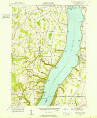 1951 Canandaigua Lake1952 Print · USGSThe western shores of Canandaigua Lake are shown here in the early fifties, documenting a landscape of rural schools and lakeside summer colonies. Genealogists can locate family landmarks like Hunn Memorial Cemetery, Cheshire, and the various schoolhouses scattered among the gullies.4 unique versions available
 - 1958 Map of Elmira
 1958 Elmira1958 Print · USGSThe New York Finger Lakes during the late fifties reveal a complex landscape of glacial geology and industrial growth. Researchers can trace historic transport corridors like the Erie Canal and Erie RR, or locate institutional landmarks like Cornell University.2 unique versions available
 - 1962 Map of Elmira, 1969 Print
 1962 Elmira1969 Print · USGSThe Finger Lakes region and Southern Tier are captured here during a period of industrial maturity and highway expansion. Researchers can trace the path of the Erie Canal, the footprint of the Seneca Army Depot, and legacy rail lines through Elmira and Ithaca.4 unique versions available
 - 1965 Map of Elmira
 1965 Elmira1965 Print · USGSThe Finger Lakes and Southern Tier regions are captured in the mid-sixties, showcasing a landscape of deep glacial valleys and heavy rail infrastructure. Trace old railroad corridors like the Pennsylvania RR or visit landmarks like Letchworth State Park and the Seneca Army Depot.
 - 1983 Map of Canandaigua, 1985 Print
 1983 Canandaigua1985 Print · USGSThe Finger Lakes and Genesee Valley appear in high detail in the early 1980s as the region's transport and academic centers reached a peak. Researchers can trace rail lines like the Lehigh Valley RR and find landmarks such as the Mount Morris Dam and Gannagaro State Historical Site.2 unique versions available
 - 2010 Map of Canandaigua Lake, 2010 Print
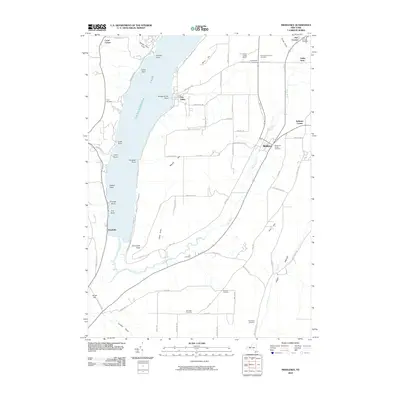
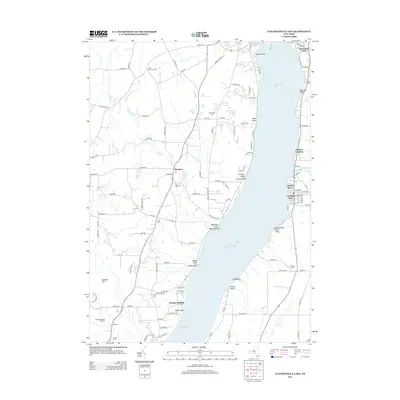
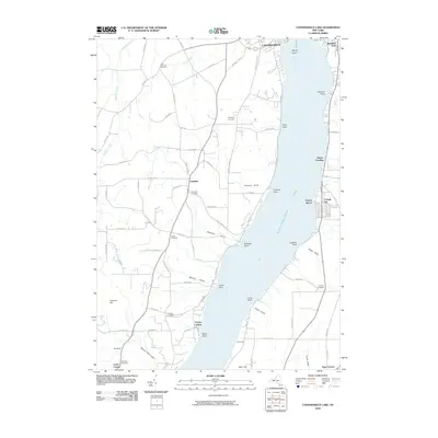 2010 Canandaigua Lake2010 Print · USGSCovers South Bristol, including Canandaigua, Canandaigua, and other nearby areas
 - 2010 Map of Middlesex, 2010 Print
 2010 Middlesex2010 Print · USGSCovers South Bristol, including Naples, Potter, and other nearby areas
 - 2010 Map of Bristol Center, 2010 Print
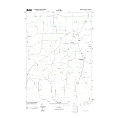
 2010 Bristol Center2010 Print · USGSCovers South Bristol, including East Bloomfield, Richmond, and other nearby areas
 - 2010 Map of Bristol Springs, 2010 Print
 2010 Bristol Springs2010 Print · USGSCovers South Bristol, including Richmond, Naples, and other nearby areas
 - 2013 Map of Middlesex, 2013 Print
 2013 Middlesex2013 Print · USGSCovers South Bristol, including Naples, Potter, and other nearby areas
 - 2013 Map of Bristol Springs, 2013 Print
 2013 Bristol Springs2013 Print · USGSCovers South Bristol, including Richmond, Naples, and other nearby areas
 - 2013 Map of Bristol Center, 2013 Print
 2013 Bristol Center2013 Print · USGSCovers South Bristol, including East Bloomfield, Richmond, and other nearby areas
 - 2013 Map of Canandaigua Lake, 2013 Print
 2013 Canandaigua Lake2013 Print · USGSCovers South Bristol, including Canandaigua, Canandaigua, and other nearby areas
 - 2016 Map of Bristol Springs, 2016 Print
 2016 Bristol Springs2016 Print · USGSCovers South Bristol, including Richmond, Naples, and other nearby areas
Showing maps 1-25 of 36
Top cities near South Bristol
- Canandaigua historical maps
- Canandaigua historical maps
- Livonia historical maps
- Jerusalem historical maps
- Lima historical maps
- Gorham historical maps
See more
Top neighborhoods of South Bristol
- Boswell Corners historical maps
- Bristol Springs historical maps
- Gulick historical maps
- Covel Corner historical maps
- Woodville historical maps
- Bristol Harbour Village historical maps
Frequently asked questions
- What are the different types of historical maps available for South Bristol?
- What is the oldest map of South Bristol?
- Where can I purchase historical maps of South Bristol for my home or office?
- Where can I download high-res historical maps of South Bristol?
- Are there historical topographic maps available for South Bristol?
- Is there historical aerial imagery available for South Bristol?
- Where are historical maps of South Bristol sourced from?