Old Maps of Murray, New York for Hiking & Exploration
Hike through history with 46 historic maps of Murray. Explore old trails, ghost towns, and forgotten backroads — perfect for outdoor adventurers and local explorers.
- Rediscover forgotten places: Map out old mining camps, roads, and footpaths that no longer exist on modern maps.
- Layer with modern tools: Combine with LiDAR or satellite views to plan hikes through historical terrain.
- Made for exploration: Popular among hikers, overlanders, and local history lovers.
Use these maps to find adventure and explore the hidden past of Murray.
Murray, NY maps
(46)- 1897 Map of Albion
 1897 Albion1897 Print · USGSWestern New York at the close of the nineteenth century is defined by its busy transit corridors and rural crossroads. Researchers can trace ancestral farmsteads and old trade routes near the Erie Canal, Oak Orchard Swamp, and Rich's Corners.7 unique versions available
 - 1897 Map of Oak Orchard
 1897 Oak Orchard1897 Print · USGSOrleans County at the close of the nineteenth century is defined by the parallel transit corridors of the Erie Canal and the Great Lakes rail lines. Genealogists and historians can trace the early layout of Point Breeze, find forgotten stops like Carlton Sta., and follow the historic path of Ridge Road.6 unique versions available
 - 1899 Map of Hamlin
 1899 Hamlin1899 Print · USGSThe northern shore of Monroe County appears here in the late nineteenth century, just as the rail lines were solidifying the region's agricultural character. Researchers can trace the early layout of Hilton and Hamlin or locate family roots in the Irish Settlement.4 unique versions available
 - 1899 Map of Brockport
 1899 Brockport1899 Print · USGSMonroe and Genesee Counties are captured here at the close of the nineteenth century as the industrial power of the Erie Canal and five different railroads reshaped the landscape. Genealogists and local historians can trace family-named sites and vanished hamlets like Moreton Farm, Hinkleyville, and Stone Church.8 unique versions available
 - 1932 Map of Hamlin
 1932 Hamlin1932 Print · USGSLake Ontario’s shoreline meets the orchards and rail-linked villages of northern Monroe County in the early 1930s. Trace old family plots at Lakeside Cem or follow the New York Central through Hamlin Station and Morton.
 - 1934 Map of Brockport
 1934 Brockport1934 Print · USGSBrockport and the surrounding Monroe County countryside are captured in the mid-1930s as a thriving hub of canal and rail transport. Genealogists and local historians can trace the school districts, find rural cemeteries like Lake View Cemetery, and locate vanished landmarks along the Barge Canal.
 - 1935 Map of Hamlin
 1935 Hamlin1935 Print · USGSMonroe County's Lake Ontario shoreline was a landscape of orchards and rail-linked hamlets in the mid-1930s. Genealogists can locate family homesteads near numerous district schools like Olive Branch Sch or trace the old New York Central line through Hamlin Station.2 unique versions available
 - 1944 Map of Holley
 1944 Holley1944 Print · USGSOrleans and Genesee counties during the mid-forties showcase a landscape of canal-side industry and rural school districts. Genealogists can locate family-named landmarks and schools including School No 12 and Maplewood Cemetery.
 - 1949 Map of Kendall, 1956 Print
 1949 Kendall1956 Print · USGSOrleans County at the close of the 1940s shows a landscape defined by the fruit belt of the lake plain and the historic transit lines of the south. Researchers can trace the path of the Erie Canal through Hindsburg or locate early rural schoolhouses like School No 6 and School No 12.
 - 1950 Map of Holley, 1952 Print
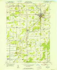 1950 Holley1952 Print · USGSOrleans County is captured at mid-century, showcasing the enduring influence of the Erie Canal and rail lines on local settlement. Genealogists and researchers can locate several rural landmarks including Pioneer Cem, Robinson Hill Sch, and the hamlet of Fancher.3 unique versions available
 - 1950 Map of Albion, 1956 Print
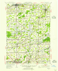 1950 Albion1956 Print · USGSOrleans and Genesee counties sit at a fascinating crossroads in the early fifties as new highway systems began to parallel the historic water and rail routes. Researchers can trace the heritage of local hamlets like South Barre and North Bergen, or locate landmarks like the State Training School for Girls and Mt Albion Cem.2 unique versions available
 - 1951 Map of Kendall
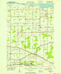 1951 Kendall1951 Print · USGSIn the early 1950s, the Orleans County lakeshore still balanced seasonal beach life with traditional canal-side industry. Researchers can trace the path of the Erie Canal through Hulberton and locate family landmarks like Transit Ch and Greenwood Cem.2 unique versions available
 - 1952 Map of Brockport
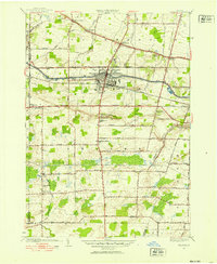 1952 Brockport1952 Print · USGSMonroe County's canal and rail corridors are captured in detail during the early fifties, showing the village of Brockport as it stood between the Erie Canal and the railroad. Genealogists can locate family sites across several burial grounds including Lake View Cemetery, Mt Olivet Cem, and West Sweden Cem.3 unique versions available
 - 1952 Map of Hamlin, 1953 Print
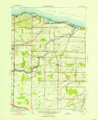 1952 Hamlin1953 Print · USGSMonroe County's lakeshore and interior farmlands are captured here in the early fifties, showing the region's transition into the post-war era. Researchers can trace historic school districts like Brick Sch and rail-side hamlets such as North Hamlin and Otis.2 unique versions available
 - 1952 Map of Toronto, 1954 Print
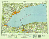 1952 Toronto1954 Print · USGSLake Ontario and the international border define this mid-century landscape of rapid industrial and suburban growth. Researchers can trace the vital shipping and rail corridors of the era, from the Welland Canal to the New York Central Railroad.
 - 1960 Map of Rochester
 1960 Rochester1960 Print · USGSThe Lake Ontario shoreline in the late fifties was a bustling corridor of rail and water commerce. Genealogists and historians can trace the path of the New York Central through canal towns like Newark or explore the coastal landmarks around Sackets Harbor.2 unique versions available
 - 1961 Map of Rochester, 1973 Print
 1961 Rochester1973 Print · USGSThe Lake Ontario shoreline and Finger Lakes frontier are shown here at the height of the mid-century infrastructure boom. Genealogists and historians can trace the rail-and-road evolution from Sackets Harbor down to the New York State Thruway, passing through centers like Pulaski and Adams Center.3 unique versions available
 - 1962 Map of Toronto, 1982 Print
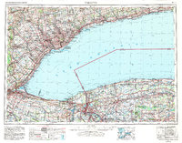 1962 Toronto1982 Print · USGSThe Golden Horseshoe and the Niagara Frontier meet in this early 1960s study of a growing international border region. Trace the path of the Welland Canal and locate land marks like the Scarborough Bluffs and Tuscarora Indian Reservation.
 - 1965 Map of Rochester
 1965 Rochester1965 Print · USGSUpstate New York's industrial heartland is captured here during a period of significant growth between the Great Lakes and the Finger Lakes. Genealogists and historians can trace the evolution of canal towns and rail hubs from Rochester to Syracuse, noting features like the Erie Canal and the New York State Thruway.
 - 1965 Map of Toronto
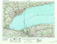 1965 Toronto1965 Print · USGSThe Golden Horseshoe and Niagara Frontier are shown in detail during the early sixties, highlighting the international shipping and transit networks. Trace the path of the Erie Canal, the Welland Canal, and rail lines connecting Toronto and Niagara Falls.2 unique versions available
 - 1971 Map of Hamlin, 1973 Print
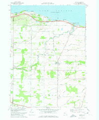 1971 Hamlin1973 Print · USGSThe Lake Ontario shoreline near Hamlin and Kendall Mills is captured here in the early 1970s as a quiet agricultural and recreational corridor. Researchers can trace family history through local landmarks like St Johns Sch, Lakeside Cem, and the path of the Penn Central railroad.
 - 1971 Map of Brockport, 1973 Print
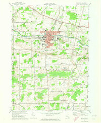 1971 Brockport1973 Print · USGSBrockport and the surrounding township of Sweden are captured here in the early seventies, centered on the historic canal and a growing university campus. Genealogists can trace family names across Lake View Cemetery or search for ancestral roots in West Sweden and Clarkson.2 unique versions available
 - 1978 Map of Hamlin
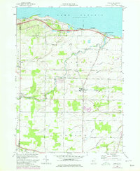 1978 Hamlin1978 Print · USGSMonroe County's lakeshore and farming hinterlands are captured here in the late seventies. Researchers can trace rural lineages through the locations of Lakeside Cem, St Johns Sch, and established crossroads like Morton and Kendall Mills.
 - 1978 Map of Kendall, 1979 Print
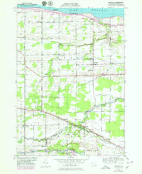 1978 Kendall1979 Print · USGSOrleans County orchards and lakefront cottages thrive in the late 1970s between the Great Lakes shoreline and the historic canal. Genealogists can trace family names through Greenwood Cem and Murray Cem or locate rural landmarks like School No 11 and Brockville.
 - 1984 Map of Rochester
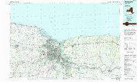 1984 Rochester1984 Print · USGSThe Rochester lakefront and Genesee Valley are shown here in the mid-eighties as suburban growth reached historic canal towns and rural outposts. Genealogists can locate family landmarks like Mud Mills, the Angel Moroni Monument, and Lake View Cemetery.2 unique versions available
Showing maps 1-25 of 46
Top cities near Murray
- Ogden historical maps
- Parma historical maps
- Sweden historical maps
- Hamlin historical maps
- LeRoy historical maps
- Albion historical maps
See more
Top neighborhoods of Murray
- Brockville historical maps
- Hulberton historical maps
- Hinsburg historical maps
- Fancher historical maps
- Holley historical maps
Frequently asked questions
- What are the different types of historical maps available for Murray?
- What is the oldest map of Murray?
- Where can I purchase historical maps of Murray for my home or office?
- Where can I download high-res historical maps of Murray?
- Are there historical topographic maps available for Murray?
- Is there historical aerial imagery available for Murray?
- Where are historical maps of Murray sourced from?