2020s Maps of Otsego, New York
Explore 4 historic maps of Otsego from the 2020s. These maps offer a rare glimpse into what life looked like during the 2020s — showing old roads, neighborhoods, homes, and landmarks that have changed or disappeared over time.
Whether you're researching your family's past, planning a metal detecting trip, or studying how Otsego's landscape evolved across the 2020s, these high-resolution maps are a powerful tool for exploring the history of this region.
- Focus on a specific era: All maps on this page are from the 2020s, giving you a focused view of this time period.
- See what’s changed: Compare century-old streets, trails, and buildings to today's modern landscape using overlays and satellite layers.
- Research with precision: Use these maps for genealogy, historical research, land use analysis, or educational projects.
- View, download, or print: Maps are fully viewable online in high resolution, and can be downloaded or printed for your own records.
Start exploring Otsego's history through authentic maps from the 2020s. This is your window into the past.
Otsego, NY maps
(4)- 2023 Map of Hartwick, 2023 Print
 2023 Hartwick2023 Print · USGSOtsego County's rural character is preserved in this recent survey of the hills and valleys surrounding Hartwick. Researchers can trace genealogical roots through numerous sites like Snowden Hill Cem, Robinson Cem, and the historic hamlet of Patent.
 - 2023 Map of Schuyler Lake, 2023 Print
 2023 Schuyler Lake2023 Print · USGSThe Otsego County highlands and the shores of Canadarago Lake are captured here in a contemporary record of this rural New York landscape. Researchers can trace historic cemeteries and small hamlets like Dogtown, Exeter Corner, and Lidell Corners along the winding creek valleys.
 - 2023 Map of Richfield Springs, 2023 Print
 2023 Richfield Springs2023 Print · USGSRichfield Springs and the northern shores of Otsego Lake appear here in modern detail, where the headwaters of the Susquehanna River meet rugged upland hills. Researchers can locate several burial grounds, including Twelve Thousand Cem and Lakeview Cem, alongside the historic Presbyterian Church.
 - 2023 Map of Cooperstown, 2023 Print
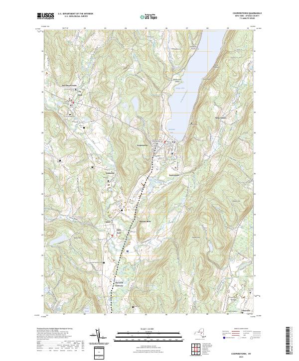 2023 Cooperstown2023 Print · USGSCooperstown and the headwaters of the Susquehanna River are captured in this modern survey of central New York. Genealogists can trace family plots at Lakewood Cem and Saint Marys Cem, or locate historic hamlets like Phoenix Mills and Fly Creek.
End of results
Showing maps 1-4 of 4
Top cities near Otsego
- German Flatts historical maps
- Oneonta historical maps
- Minden historical maps
- Milford historical maps
- Laurens historical maps
- Worcester historical maps
See more
Top neighborhoods of Otsego
- Cattown historical maps
- Pierstown historical maps
- Taylortown historical maps
- Snowdon historical maps
- Wileytown historical maps
- Oaksville historical maps
See more
Frequently asked questions
- What are the different types of historical maps available for Otsego?
- What is the oldest map of Otsego?
- Where can I purchase historical maps of Otsego for my home or office?
- Where can I download high-res historical maps of Otsego?
- Are there historical topographic maps available for Otsego?
- Is there historical aerial imagery available for Otsego?
- Where are historical maps of Otsego sourced from?