2020s Maps of Roseboom, New York
Explore 4 historic maps of Roseboom from the 2020s. These maps offer a rare glimpse into what life looked like during the 2020s — showing old roads, neighborhoods, homes, and landmarks that have changed or disappeared over time.
Whether you're researching your family's past, planning a metal detecting trip, or studying how Roseboom's landscape evolved across the 2020s, these high-resolution maps are a powerful tool for exploring the history of this region.
- Focus on a specific era: All maps on this page are from the 2020s, giving you a focused view of this time period.
- See what’s changed: Compare century-old streets, trails, and buildings to today's modern landscape using overlays and satellite layers.
- Research with precision: Use these maps for genealogy, historical research, land use analysis, or educational projects.
- View, download, or print: Maps are fully viewable online in high resolution, and can be downloaded or printed for your own records.
Start exploring Roseboom's history through authentic maps from the 2020s. This is your window into the past.
Roseboom, NY maps
(4)- 2023 Map of East Springfield, 2023 Print
 2023 East Springfield2023 Print · USGSThe northern tip of Otsego Lake comes into focus in this recent survey of the Springfield and Cherry Valley area. Researchers can trace historic burial sites like Middle Village Cem or explore the terrain around Summit Lake and Glimmerglass State Park.
 - 2023 Map of Westford, 2023 Print
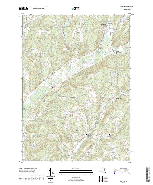 2023 Westford2023 Print · USGSOtsego County's rural uplands are shown here in recent detail, centered on the valley settlements and cemetery sites that define the region's heritage. Genealogists can locate family sites at Middlefield Cem and Draper Hill Cem or trace the winding course of Cherry Valley Creek.
 - 2023 Map of Sprout Brook, 2023 Print
 2023 Sprout Brook2023 Print · USGSOtsego and Schoharie counties appear here in the modern era, revealing a landscape of historic hamlets and upland ridges. Trace the roots of local families through Sharon Cem and McFee Cem, or follow the old turns of the Luenburgh Tpke.
 - 2023 Map of South Valley, 2023 Print
 2023 South Valley2023 Print · USGSThe foothills of Otsego County near the Schoharie border are shown here in recent detail, centered on the historic communities of Worcester and South Valley. Genealogists and local historians can trace rural family roots through numerous sites like Winnie Cem, Ferris Cem, and Sissum Cem.
End of results
Showing maps 1-4 of 4
Top cities near Roseboom
- German Flatts historical maps
- Cobleskill historical maps
- Cobleskill historical maps
- Minden historical maps
- Canajoharie historical maps
- Otsego historical maps
See more
Top neighborhoods of Roseboom
Frequently asked questions
- What are the different types of historical maps available for Roseboom?
- What is the oldest map of Roseboom?
- Where can I purchase historical maps of Roseboom for my home or office?
- Where can I download high-res historical maps of Roseboom?
- Are there historical topographic maps available for Roseboom?
- Is there historical aerial imagery available for Roseboom?
- Where are historical maps of Roseboom sourced from?