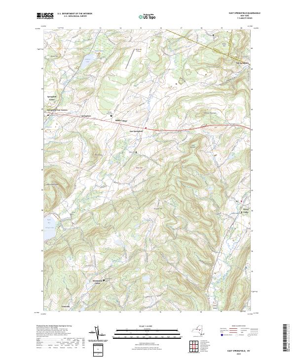
2023 Map of East Springfield
USGS Topo · Published 2023About this map
Glimmerglass State Park sits at the northern reaches of Otsego Lake, where Shadow Brook flows into Hyde Bay. This landscape is defined by its series of small, interconnected hamlets including Springfield Center, Middle Village, and East Springfield, which are linked by historic corridors like Co RD 31. For genealogists, the map is particularly rich in burial data, documenting local sites such as Springfield Cem, Middle Village Cem, and the remote Oliver Cem.
Find a feature on this map
96 named features on this map. Tap any name to fly to it.
Don’t see what you’re looking for? This feature index may not catch every label — zoom into the map to look around manually.
Map Details
Editions of this 2023 East Springfield Map
This is the sole edition of this map. No revisions or reprints were ever made.
Other maps of this area

1898 · Canajoharie
USGS Topo · 1:62,500

1900 · Canajoharie
USGS Topo · 1:62,500

1902 · Canajoharie
USGS Topo · 1:62,500

1903 · Richfield Springs
USGS Topo · 1:62,500

1904 · Richmondville
USGS Topo · 1:62,500

1907 · Cooperstown
USGS Topo · 1:62,500

1909 · Cooperstown
USGS Topo · 1:62,500

1943 · Jordanville
USGS Topo · 1:24,000

1943 · South Valley
USGS Topo · 1:24,000

1943 · Richfield Springs
USGS Topo · 1:24,000