Old Maps of Hannawa Falls, Pierrepont
Explore 31 old maps of Hannawa Falls, spanning from 1908 to today. These high-resolution historic maps reveal how streets, neighborhoods, landmarks, and natural features evolved over time — perfect for genealogy, metal detecting, research, and local history exploration.
What you can do with these maps:
- See how Hannawa Falls changed over time: Compare historical maps to modern-day views to trace roads, homesites, rail lines & more.
- View detailed metadata: Each map includes creators, publishers, year, scale, and archive source.
- Overlay maps with satellite & LiDAR: Visualize the past alongside modern tools to explore terrain & human change.
- Trusted historical sources: Maps sourced from the USGS, Library of Congress, and other archives.
- Access maps your way: View online, download high-res files, or order prints for personal or research use.
Start exploring old maps of Hannawa Falls to uncover forgotten places, hidden landmarks, and the deep history beneath your feet.
Hannawa Falls, Pierrepont maps
(31)- 1908 Map of Potsdam
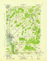
 1908 Potsdam1908 Print · USGSSt. Lawrence County is captured here in the early twentieth century as a vibrant landscape of river-powered industry and dispersed school districts. Researchers can trace the original N. Y. C. and H. R. R. R. through Norwood or locate historic rural landmarks like Browns Bridge and Old Forge School.7 unique versions available
 - 1910 Map of Canton, 1956 Print
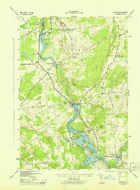
 1910 Canton1956 Print · USGSSt. Lawrence County is captured here in the early twentieth century as a busy corridor of rail travel and river-powered industry. Researchers can locate family homesteads near Crary Mills, Langdon Corners, or the historic Brick Chapel along the Grass River.
 - 1911 Map of Canton
 1911 Canton1911 Print · USGSNorthern St. Lawrence County is captured here in the early twentieth century as a busy corridor of river-powered industry and rail transport. Genealogists and historians can trace the foundations of Canton and Potsdam or locate smaller rural hubs like Brick Chapel and Pyrites.4 unique versions available
 - 1943 Map of Potsdam
 1943 Potsdam1943 Print · USGSSt. Lawrence County during the early war years reveals a landscape of river-powered industry and dispersed school districts. Researchers can locate family heritage at Bayside Cem and St Marys Cem or trace the early industrial footprint of the Sugar Island Dam and the Garfield Gem mine.2 unique versions available
 - 1943 Map of Colton
 1943 Colton1943 Print · USGSSt. Lawrence County is shown during the early 1940s as its river-driven economy and rural school districts remained the heart of local life. Genealogists can trace family locations near Riverside Cem or find the numerous numbered schoolhouses serving Hannawa Falls and West Parishville.2 unique versions available
 - 1944 Map of Canton
 1944 Canton1944 Print · USGSSt. Lawrence County was a landscape of river-powered hamlets and busy rail corridors during the mid-forties. Researchers can trace the layout of Canton and Potsdam or find smaller family-named junctions like Casey Corners, Langdon Corners, and Slab City.
 - 1948 Map of Ogdensburg, 1973 Print
 1948 Ogdensburg1973 Print · USGSThe international border along the St Lawrence River comes to life in the late 1940s, showing the vital rail and water connections between New York and Ontario. Researchers can trace the grounds of St Lawrence University, the massive Camp Drum military reservation, and the historic Rideau River and Canal.2 unique versions available
 - 1951 Map of Ogdensburg
 1951 Ogdensburg1951 Print · USGSThe St. Lawrence frontier and the North Country are captured here during the post-war era, from the river ports to the high Adirondacks. Genealogists and historians can trace the rail-and-river economy through Ogdensburg, the Rutland rail lines, and Potsdam.
 - 1953 Map of Ogdensburg
 1953 Ogdensburg1953 Print · USGSThe North Country and St. Lawrence Valley are shown here in the early fifties, just as the region’s rail-and-river economy remained in full swing. Genealogists and historians can trace family-named corners and rural hubs along the Rutland railroad or locate heritage sites near Ogdensburg, Potsdam, and the St Regis Indian Reservation.
 - 1961 Map of Ogdensburg
 1961 Ogdensburg1961 Print · USGSThe St. Lawrence valley and the Adirondack high country meet in this early sixties survey during a peak era for rail and river commerce. Genealogists and historians can trace the paths of the New York Central railroad through remote settlements like Wanakena, Conifer, and Piercefield.
 - 1964 Map of Pierrepont, 1966 Print
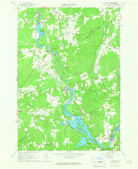
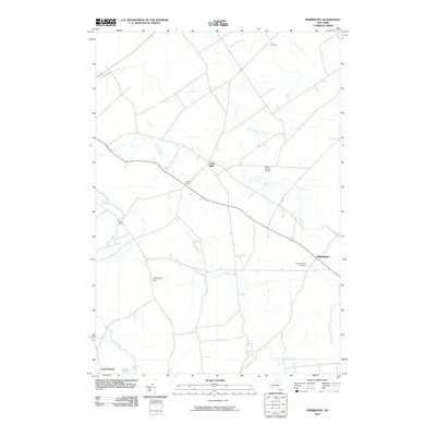
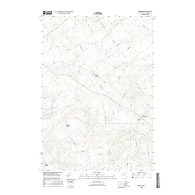
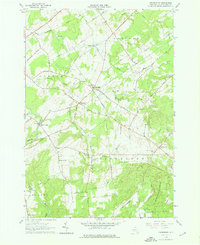 1964 Pierrepont1966 Print · USGSThe rural communities of St. Lawrence County are captured in the mid-1960s, showing a landscape of scattered hamlets and family-named roads. Genealogists and local historians can locate specific landmarks like the White Church Cem, Briek Chapel, and the Giffins Corners Sch.3 unique versions available
 - 1964 Map of Potsdam, 1966 Print
 1964 Potsdam1966 Print · USGSSt. Lawrence County is captured during a period of academic and industrial growth in the mid-sixties. Researchers can trace the footprints of Clarkson College, locate family plots in Bayside Cem, and follow the New York Central Railroad through Norwood.3 unique versions available
 - 1964 Map of Colton, 1966 Print
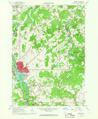
 1964 Colton1966 Print · USGSSt. Lawrence County was defined by its hydroelectric river valley in the mid-1960s. Researchers can trace the civic foundations of the area through family landmarks like Vebber Corners, old burial grounds such as Riverside Cem, and the St Patrick Ch at Colton.2 unique versions available
 - 1985 Map of Massena
 1985 Massena1985 Print · USGSNorthern New York at the mid-eighties shows a landscape of river-driven industry and high mountain wilderness along the Canadian border. Researchers can trace the legacy of iron working and milling in Brasher Iron Works or follow the Raquette River through Massena and Potsdam.
 - 1985 Map of Ogdensburg, 1986 Print
 1985 Ogdensburg1986 Print · USGSThe St. Lawrence River valley and the northern New York borderlands are shown here in the mid-1980s, during a period of established institutional and collegiate growth. Researchers can trace the paths of CONRAIL through Potsdam or locate local landmarks like Mater Dei College and Rensselaer Falls.2 unique versions available
 - 1994 Map of Massena
 1994 Massena1994 Print · USGSThe St. Lawrence River valley and northern Adirondacks meet in the mid-1990s, revealing a landscape of international shipping, rail corridors, and dense state forests. Genealogists and historians can trace the foundations of Massena, the St Regis Indian Reservation, and small hamlets like Brasher Iron Works.
 - 2010 Map of Potsdam, 2010 Print
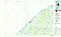
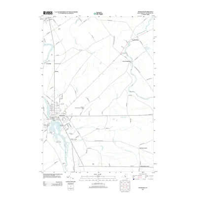
 2010 Potsdam2010 Print · USGSCovers Hannawa Falls, including Potsdam, Potsdam, and other nearby areas
 - 2010 Map of Colton, 2010 Print
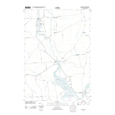
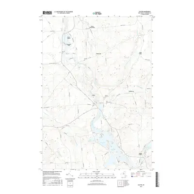
 2010 Colton2010 Print · USGSCovers Hannawa Falls, including Potsdam, Pierrepont, and other nearby areas
 - 2010 Map of Pierrepont, 2010 Print
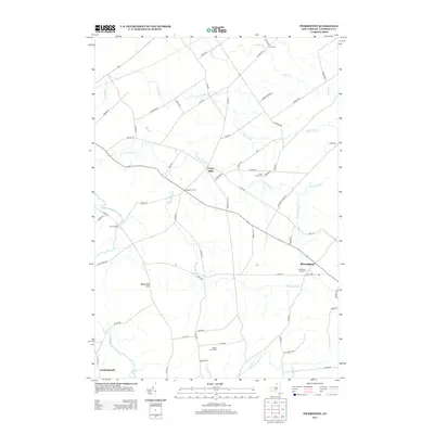
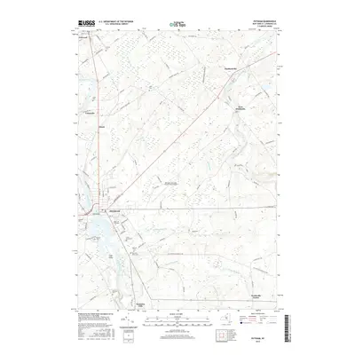
 2010 Pierrepont2010 Print · USGSCovers Hannawa Falls, including Potsdam, Canton, and other nearby areas
 - 2013 Map of Pierrepont, 2013 Print
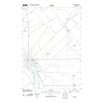
 2013 Pierrepont2013 Print · USGSCovers Hannawa Falls, including Potsdam, Canton, and other nearby areas
 - 2013 Map of Potsdam, 2013 Print
 2013 Potsdam2013 Print · USGSCovers Hannawa Falls, including Potsdam, Potsdam, and other nearby areas
 - 2013 Map of Colton, 2013 Print
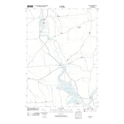
 2013 Colton2013 Print · USGSCovers Hannawa Falls, including Potsdam, Pierrepont, and other nearby areas
 - 2016 Map of Pierrepont, 2016 Print
 2016 Pierrepont2016 Print · USGSCovers Hannawa Falls, including Potsdam, Canton, and other nearby areas
 - 2016 Map of Colton, 2016 Print
 2016 Colton2016 Print · USGSCovers Hannawa Falls, including Potsdam, Pierrepont, and other nearby areas
 - 2016 Map of Potsdam, 2016 Print
 2016 Potsdam2016 Print · USGSCovers Hannawa Falls, including Potsdam, Potsdam, and other nearby areas
Showing maps 1-25 of 31
Top cities near Hannawa Falls
- Potsdam historical maps
- Canton historical maps
- Potsdam historical maps
- Canton historical maps
- Norfolk historical maps
- Lisbon historical maps
See more
Top neighborhoods of Hannawa Falls
Frequently asked questions
- What are the different types of historical maps available for Hannawa Falls?
- What is the oldest map of Hannawa Falls?
- Where can I purchase historical maps of Hannawa Falls for my home or office?
- Where can I download high-res historical maps of Hannawa Falls?
- Are there historical topographic maps available for Hannawa Falls?
- Is there historical aerial imagery available for Hannawa Falls?
- Where are historical maps of Hannawa Falls sourced from?