2000s (21st Century) Maps of Dix, New York
Explore 20 historic maps of Dix from the 2000s (21st Century). These maps offer a rare glimpse into what life looked like during the 2000s — showing old roads, neighborhoods, homes, and landmarks that have changed or disappeared over time.
Whether you're researching your family's past, planning a metal detecting trip, or studying how Dix's landscape evolved across the 2000s, these high-resolution maps are a powerful tool for exploring the history of this region.
- Focus on a specific era: All maps on this page are from the 2000s, giving you a focused view of this time period.
- See what’s changed: Compare century-old streets, trails, and buildings to today's modern landscape using overlays and satellite layers.
- Research with precision: Use these maps for genealogy, historical research, land use analysis, or educational projects.
- View, download, or print: Maps are fully viewable online in high resolution, and can be downloaded or printed for your own records.
Start exploring Dix's history through authentic maps from the 2000s. This is your window into the past.
Dix, NY maps
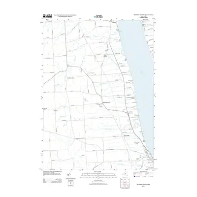
(20)- 2010 Map of Reading Center, 2010 Print
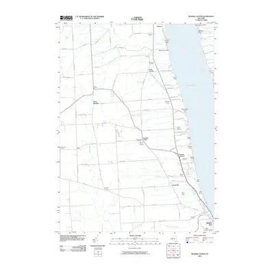 2010 Reading Center2010 Print · USGSCovers Dix, including Hector, Starkey, and other nearby areas
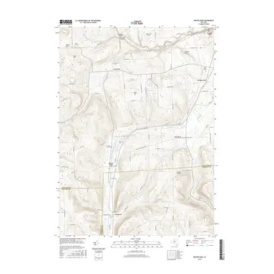
 - 2010 Map of Beaver Dams, 2010 Print
 2010 Beaver Dams2010 Print · USGSCovers Dix, including Catlin, Watkins Glen, and other nearby areas
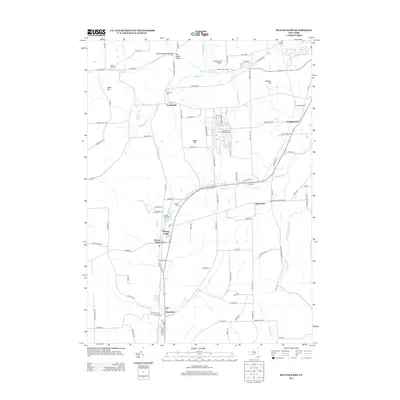
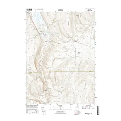
 - 2010 Map of Montour Falls, 2010 Print
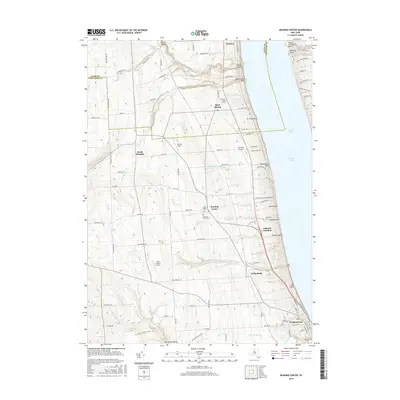
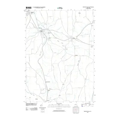 2010 Montour Falls2010 Print · USGSCovers Dix, including Veteran, Catlin, and other nearby areas
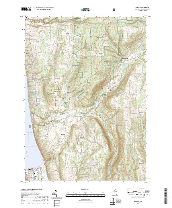
 - 2011 Map of Burdett, 2011 Print
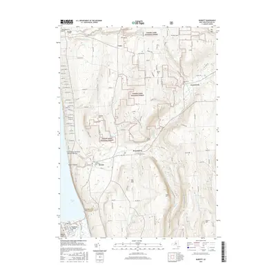
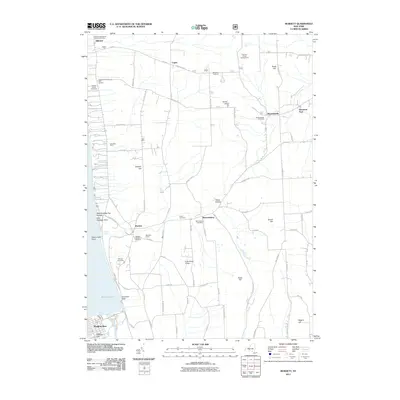 2011 Burdett2011 Print · USGSCovers Dix, including Hector, Montour, and other nearby areas
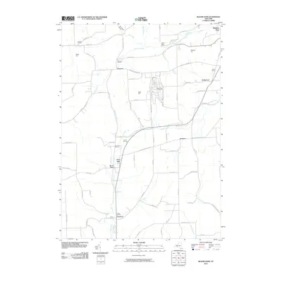
 - 2013 Map of Reading Center, 2013 Print
 2013 Reading Center2013 Print · USGSCovers Dix, including Hector, Starkey, and other nearby areas
 - 2013 Map of Burdett, 2013 Print
 2013 Burdett2013 Print · USGSCovers Dix, including Hector, Montour, and other nearby areas
 - 2013 Map of Beaver Dams, 2013 Print
 2013 Beaver Dams2013 Print · USGSCovers Dix, including Catlin, Watkins Glen, and other nearby areas
 - 2013 Map of Montour Falls, 2013 Print
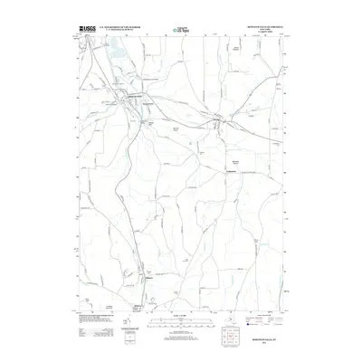 2013 Montour Falls2013 Print · USGSCovers Dix, including Veteran, Catlin, and other nearby areas
 - 2016 Map of Reading Center, 2016 Print
 2016 Reading Center2016 Print · USGSCovers Dix, including Hector, Starkey, and other nearby areas
 - 2016 Map of Montour Falls, 2016 Print
 2016 Montour Falls2016 Print · USGSCovers Dix, including Veteran, Catlin, and other nearby areas
 - 2016 Map of Burdett, 2016 Print
 2016 Burdett2016 Print · USGSCovers Dix, including Hector, Montour, and other nearby areas
 - 2016 Map of Beaver Dams, 2016 Print
 2016 Beaver Dams2016 Print · USGSCovers Dix, including Catlin, Watkins Glen, and other nearby areas
 - 2019 Map of Reading Center, 2019 Print
 2019 Reading Center2019 Print · USGSCovers Dix, including Hector, Starkey, and other nearby areas
 - 2019 Map of Beaver Dams, 2019 Print
 2019 Beaver Dams2019 Print · USGSCovers Dix, including Catlin, Watkins Glen, and other nearby areas
 - 2019 Map of Montour Falls, 2019 Print
 2019 Montour Falls2019 Print · USGSCovers Dix, including Veteran, Catlin, and other nearby areas
 - 2019 Map of Burdett, 2019 Print
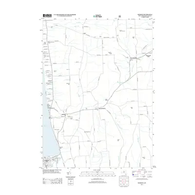
 2019 Burdett2019 Print · USGSCovers Dix, including Hector, Montour, and other nearby areas
 - 2023 Map of Montour Falls, 2023 Print
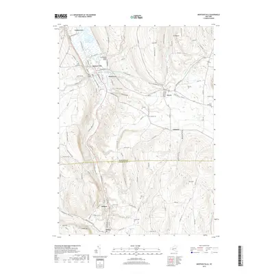
 2023 Montour Falls2023 Print · USGSThe Schuyler and Chemung county borderlands come alive in this modern survey of the Finger Lakes region. Researchers can trace ancestral roots at Cook Cem and Saint John Cem or follow the historic rail corridor of the Norfolk Southern through Millport.
 - 2023 Map of Beaver Dams, 2023 Print
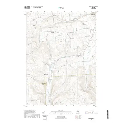
 2023 Beaver Dams2023 Print · USGSSchuyler and Chemung counties are documented in this late-era survey, showing the agricultural hills and racing culture south of Seneca Lake. Researchers can locate many small burial grounds like Beaver Dams Cem or the sprawling Watkins Glen Int'l Race Track.
 - 2023 Map of Burdett, 2023 Print
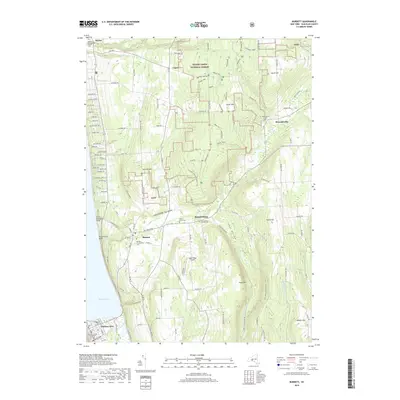
 2023 Burdett2023 Print · USGSThe eastern shore of Seneca Lake and the Finger Lakes National Forest are shown in this contemporary study of Schuyler County. Genealogists and local historians can trace family plots at Burdett Presbyterian Cem or locate the historic Schuyler County Courthouse.
 - 2023 Map of Reading Center, 2023 Print
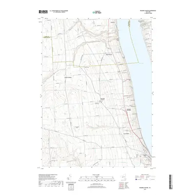
 2023 Reading Center2023 Print · USGSSchuyler County's western shore of Seneca Lake is documented here in the early twenty-first century, showing the transition from lakefront points to upland farms. Genealogists can locate family sites at Old Reading Cem or Rock Stream Cem and trace old roads through Reading Center.
End of results
Showing maps 1-20 of 20
Top cities near Dix
- Elmira historical maps
- Horseheads historical maps
- Corning historical maps
- Erwin historical maps
- Big Flats historical maps
- Elmira historical maps
See more
Top neighborhoods of Dix
- Beaver Dams historical maps
- Moreland historical maps
- Townsend historical maps
- Wedgewood historical maps
- Watkins Glen historical maps
Frequently asked questions
- What are the different types of historical maps available for Dix?
- What is the oldest map of Dix?
- Where can I purchase historical maps of Dix for my home or office?
- Where can I download high-res historical maps of Dix?
- Are there historical topographic maps available for Dix?
- Is there historical aerial imagery available for Dix?
- Where are historical maps of Dix sourced from?