2000s (21st Century) Maps of Covert, New York
Explore 25 historic maps of Covert from the 2000s (21st Century). These maps offer a rare glimpse into what life looked like during the 2000s — showing old roads, neighborhoods, homes, and landmarks that have changed or disappeared over time.
Whether you're researching your family's past, planning a metal detecting trip, or studying how Covert's landscape evolved across the 2000s, these high-resolution maps are a powerful tool for exploring the history of this region.
- Focus on a specific era: All maps on this page are from the 2000s, giving you a focused view of this time period.
- See what’s changed: Compare century-old streets, trails, and buildings to today's modern landscape using overlays and satellite layers.
- Research with precision: Use these maps for genealogy, historical research, land use analysis, or educational projects.
- View, download, or print: Maps are fully viewable online in high resolution, and can be downloaded or printed for your own records.
Start exploring Covert's history through authentic maps from the 2000s. This is your window into the past.
Covert, NY maps
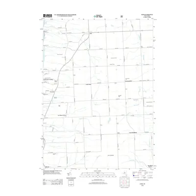
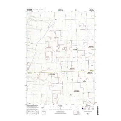
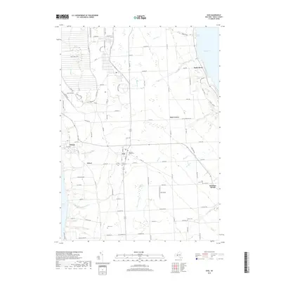
(25)- 2010 Map of Ovid, 2010 Print
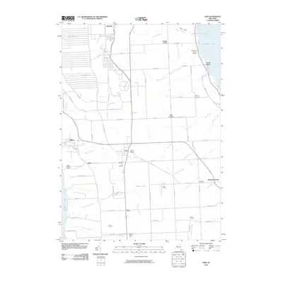 2010 Ovid2010 Print · USGSCovers Covert, including Romulus, Ovid, and other nearby areas
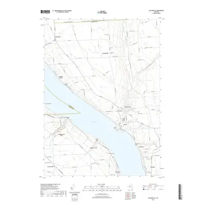
 - 2010 Map of Ludlowville, 2010 Print
 2010 Ludlowville2010 Print · USGSCovers Covert, including Lansing, Ulysses, and other nearby areas
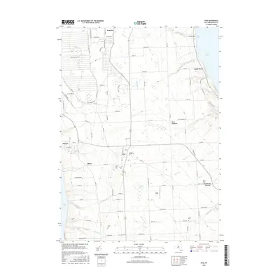
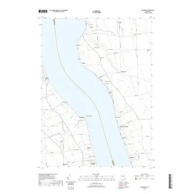
 - 2010 Map of Sheldrake, 2010 Print
 2010 Sheldrake2010 Print · USGSCovers Covert, including Romulus, Ovid, and other nearby areas
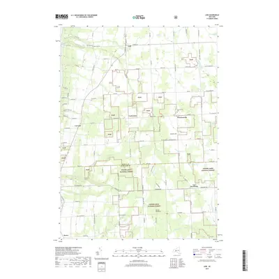
 - 2011 Map of Lodi, 2011 Print
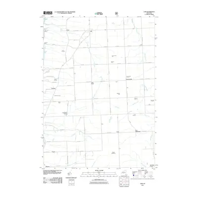 2011 Lodi2011 Print · USGSCovers Covert, including Hector, Lodi, and other nearby areas
 - 2011 Map of Trumansburg, 2011 Print
 2011 Trumansburg2011 Print · USGSCovers Covert, including Lansing, Hector, and other nearby areas
 - 2013 Map of Ovid, 2013 Print
 2013 Ovid2013 Print · USGSCovers Covert, including Romulus, Ovid, and other nearby areas
 - 2013 Map of Sheldrake, 2013 Print
 2013 Sheldrake2013 Print · USGSCovers Covert, including Romulus, Ovid, and other nearby areas
 - 2013 Map of Trumansburg, 2013 Print
 2013 Trumansburg2013 Print · USGSCovers Covert, including Lansing, Hector, and other nearby areas
 - 2013 Map of Lodi, 2013 Print
 2013 Lodi2013 Print · USGSCovers Covert, including Hector, Lodi, and other nearby areas
 - 2013 Map of Ludlowville, 2013 Print
 2013 Ludlowville2013 Print · USGSCovers Covert, including Lansing, Ulysses, and other nearby areas
 - 2016 Map of Ovid, 2016 Print
 2016 Ovid2016 Print · USGSCovers Covert, including Romulus, Ovid, and other nearby areas
 - 2016 Map of Trumansburg, 2016 Print
 2016 Trumansburg2016 Print · USGSCovers Covert, including Lansing, Hector, and other nearby areas
 - 2016 Map of Sheldrake, 2016 Print
 2016 Sheldrake2016 Print · USGSCovers Covert, including Romulus, Ovid, and other nearby areas
 - 2016 Map of Ludlowville, 2016 Print
 2016 Ludlowville2016 Print · USGSCovers Covert, including Lansing, Ulysses, and other nearby areas
 - 2016 Map of Lodi, 2016 Print
 2016 Lodi2016 Print · USGSCovers Covert, including Hector, Lodi, and other nearby areas
 - 2019 Map of Ludlowville, 2019 Print
 2019 Ludlowville2019 Print · USGSCovers Covert, including Lansing, Ulysses, and other nearby areas
 - 2019 Map of Ovid, 2019 Print
 2019 Ovid2019 Print · USGSCovers Covert, including Romulus, Ovid, and other nearby areas
 - 2019 Map of Sheldrake, 2019 Print
 2019 Sheldrake2019 Print · USGSCovers Covert, including Romulus, Ovid, and other nearby areas
 - 2019 Map of Trumansburg, 2019 Print
 2019 Trumansburg2019 Print · USGSCovers Covert, including Lansing, Hector, and other nearby areas
 - 2019 Map of Lodi, 2019 Print
 2019 Lodi2019 Print · USGSCovers Covert, including Hector, Lodi, and other nearby areas
 - 2023 Map of Ludlowville, 2023 Print
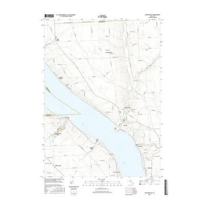
 2023 Ludlowville2023 Print · USGSThe eastern shores of Cayuga Lake come alive in this modern survey of the Tompkins County uplands. Researchers can trace family history at Lake Ridge Cem or explore the steep ravines of The Gulf near the historic settlements of Ludlowville and Myers.
 - 2023 Map of Lodi, 2023 Print
 2023 Lodi2023 Print · USGSThe upland ridges between Seneca and Cayuga Lakes are captured here in the 2020s, showing a landscape where agriculture meets federal forest land. Genealogists and local historians can trace burial sites like Seneca Union Cem and Townsendville Cem or locate the dramatic Silver Thread Falls.
 - 2023 Map of Ovid, 2023 Print
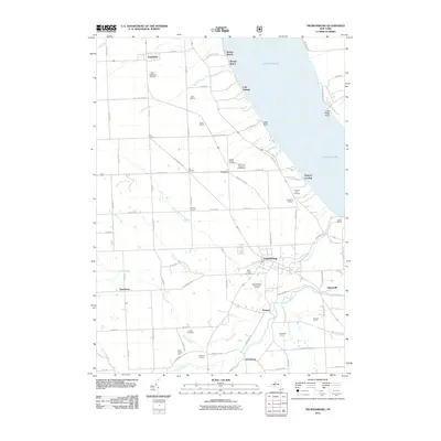
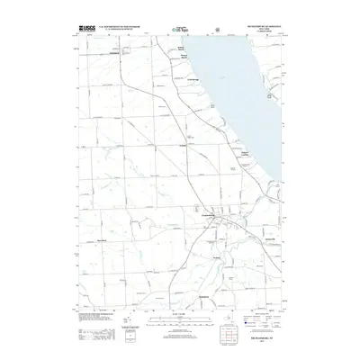
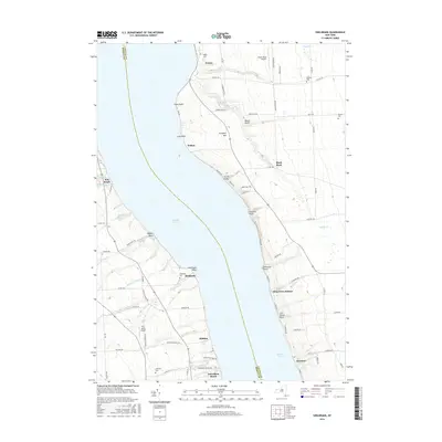
 2023 Ovid2023 Print · USGSCentral New York's lake-bound peninsula is shown here in the 2020s, anchored by the village of Ovid. Trace family histories at the Old Ovid Village Cem or locate the sprawling Seneca Army Depot and Sheldrake Springs lakefront.
 - 2023 Map of Sheldrake, 2023 Print
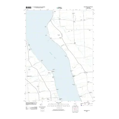
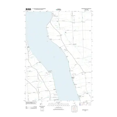
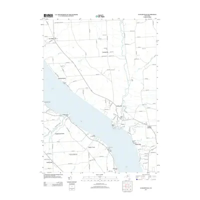
 2023 Sheldrake2023 Print · USGSThe eastern and western shores of Cayuga Lake are captured here in the early twenty-first century, showcasing historic lakeside settlements. Genealogists can locate several burial sites including Friends Cem and Lakeview Cem, alongside landmarks like Wells College.
 - 2023 Map of Trumansburg, 2023 Print
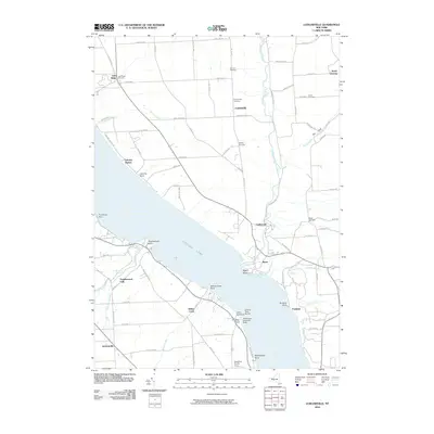
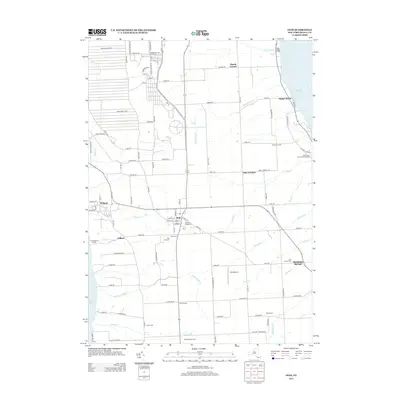
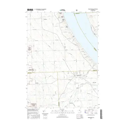
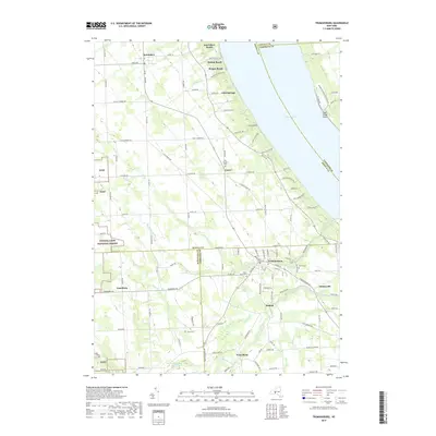
 2023 Trumansburg2023 Print · USGSThe western shores of Cayuga Lake meet the wooded uplands of the Finger Lakes in this modern survey. Genealogists can locate several historic burial grounds, including Old Covert Cem and Saint James Cem, alongside old hamlets like Podunk.
End of results
Showing maps 1-25 of 25
Top cities near Covert
- Ithaca historical maps
- Ithaca historical maps
- Dryden historical maps
- Lansing historical maps
- Milo historical maps
- Groton historical maps
See more
Top neighborhoods of Covert
- Bergen Beach historical maps
- Cold Springs historical maps
- Osgood Landing historical maps
- Interlaken Beach historical maps
- Holton Beach historical maps
- Interlaken historical maps
Frequently asked questions
- What are the different types of historical maps available for Covert?
- What is the oldest map of Covert?
- Where can I purchase historical maps of Covert for my home or office?
- Where can I download high-res historical maps of Covert?
- Are there historical topographic maps available for Covert?
- Is there historical aerial imagery available for Covert?
- Where are historical maps of Covert sourced from?