2000s (21st Century) Maps of Prattsburgh, New York
Explore 30 historic maps of Prattsburgh from the 2000s (21st Century). These maps offer a rare glimpse into what life looked like during the 2000s — showing old roads, neighborhoods, homes, and landmarks that have changed or disappeared over time.
Whether you're researching your family's past, planning a metal detecting trip, or studying how Prattsburgh's landscape evolved across the 2000s, these high-resolution maps are a powerful tool for exploring the history of this region.
- Focus on a specific era: All maps on this page are from the 2000s, giving you a focused view of this time period.
- See what’s changed: Compare century-old streets, trails, and buildings to today's modern landscape using overlays and satellite layers.
- Research with precision: Use these maps for genealogy, historical research, land use analysis, or educational projects.
- View, download, or print: Maps are fully viewable online in high resolution, and can be downloaded or printed for your own records.
Start exploring Prattsburgh's history through authentic maps from the 2000s. This is your window into the past.
Prattsburgh, NY maps
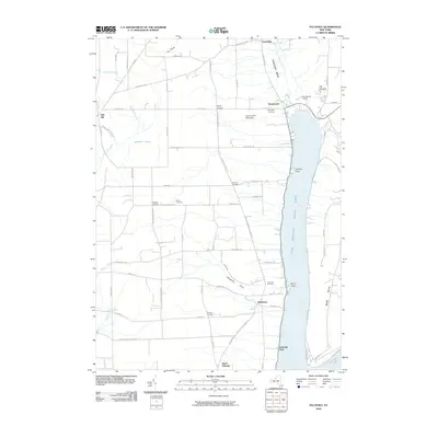
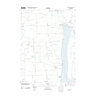
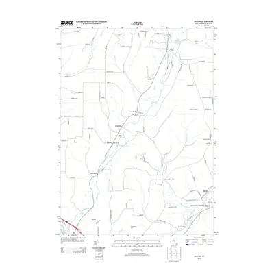
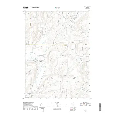
(30)- 2010 Map of Hammondsport, 2010 Print
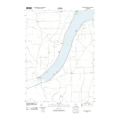 2010 Hammondsport2010 Print · USGSCovers Prattsburgh, including Jerusalem, Urbana, and other nearby areas
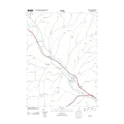
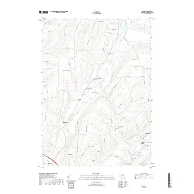
 - 2010 Map of Avoca, 2010 Print
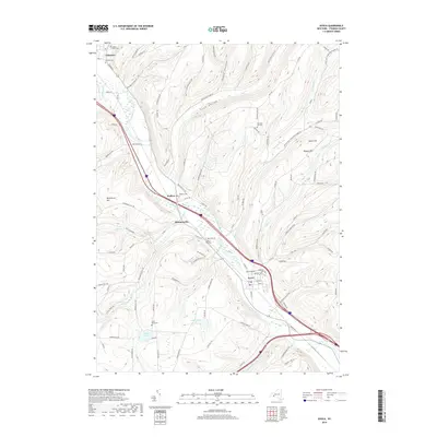
 2010 Avoca2010 Print · USGSCovers Prattsburgh, including Bath, Cohocton, and other nearby areas
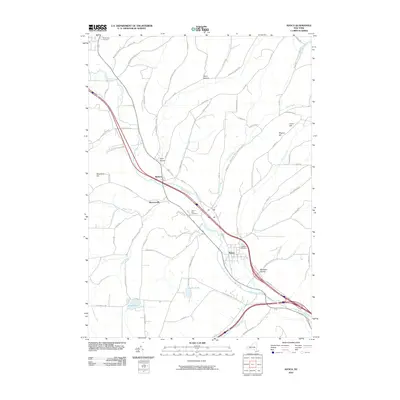
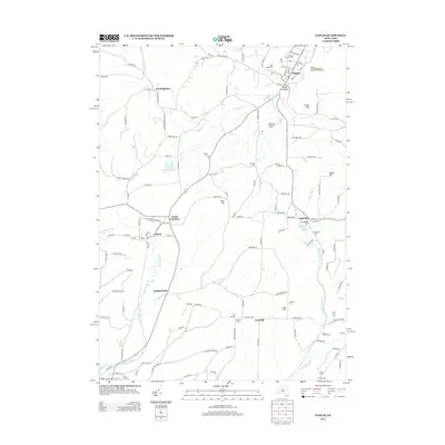
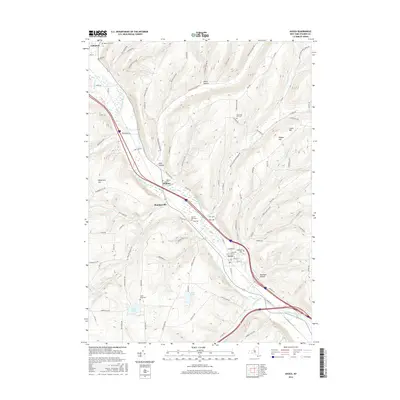
 - 2010 Map of Rheims, 2010 Print
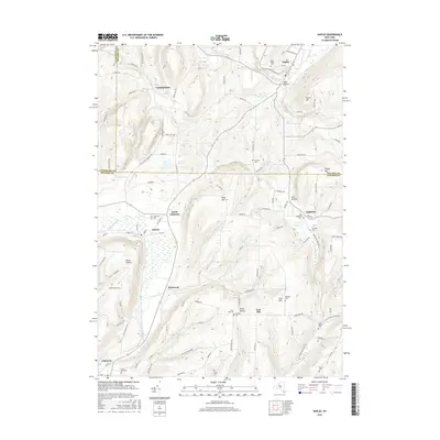
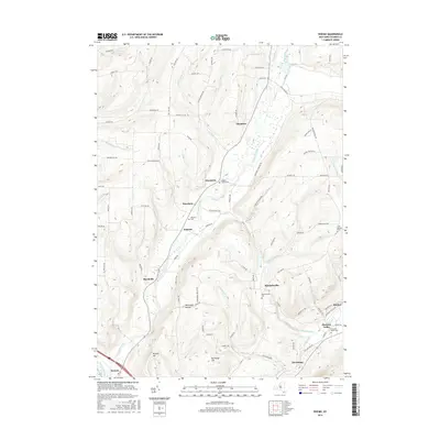
 2010 Rheims2010 Print · USGSCovers Prattsburgh, including Bath, Urbana, and other nearby areas
 - 2010 Map of Pulteney, 2010 Print
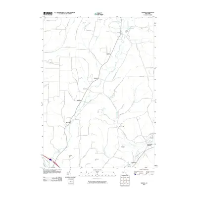
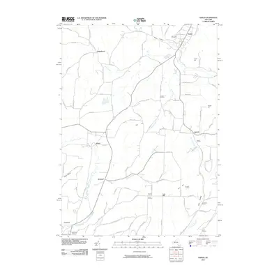
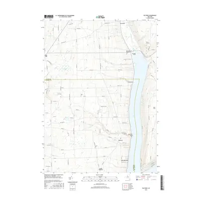
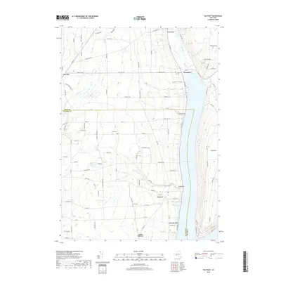
 2010 Pulteney2010 Print · USGSCovers Prattsburgh, including Jerusalem, Pulteney, and other nearby areas
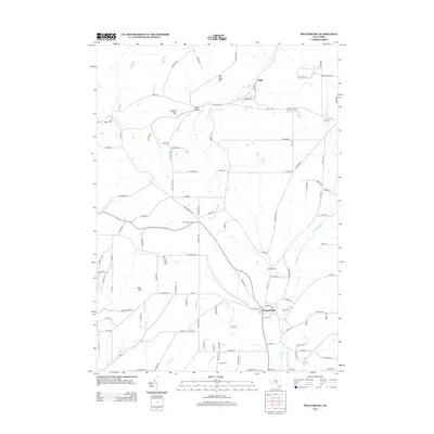
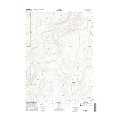
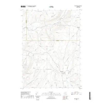
 - 2010 Map of Prattsburg, 2010 Print
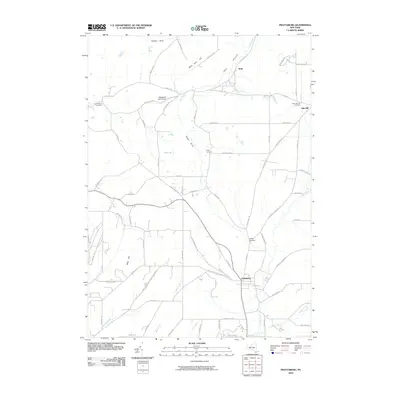 2010 Prattsburg2010 Print · USGSCovers Prattsburgh, including Naples, Italy, and other nearby areas
 - 2010 Map of Naples, 2010 Print
 2010 Naples2010 Print · USGSCovers Prattsburgh, including Naples, Springwater, and other nearby areas
 - 2013 Map of Hammondsport, 2013 Print
 2013 Hammondsport2013 Print · USGSCovers Prattsburgh, including Jerusalem, Urbana, and other nearby areas
 - 2013 Map of Pulteney, 2013 Print
 2013 Pulteney2013 Print · USGSCovers Prattsburgh, including Jerusalem, Pulteney, and other nearby areas
 - 2013 Map of Prattsburg, 2013 Print
 2013 Prattsburg2013 Print · USGSCovers Prattsburgh, including Naples, Italy, and other nearby areas
 - 2013 Map of Rheims, 2013 Print
 2013 Rheims2013 Print · USGSCovers Prattsburgh, including Bath, Urbana, and other nearby areas
 - 2013 Map of Avoca, 2013 Print
 2013 Avoca2013 Print · USGSCovers Prattsburgh, including Bath, Cohocton, and other nearby areas
 - 2013 Map of Naples, 2013 Print
 2013 Naples2013 Print · USGSCovers Prattsburgh, including Naples, Springwater, and other nearby areas
 - 2016 Map of Pulteney, 2016 Print
 2016 Pulteney2016 Print · USGSCovers Prattsburgh, including Jerusalem, Pulteney, and other nearby areas
 - 2016 Map of Naples, 2016 Print
 2016 Naples2016 Print · USGSCovers Prattsburgh, including Naples, Springwater, and other nearby areas
 - 2016 Map of Hammondsport, 2016 Print
 2016 Hammondsport2016 Print · USGSCovers Prattsburgh, including Jerusalem, Urbana, and other nearby areas
 - 2016 Map of Rheims, 2016 Print
 2016 Rheims2016 Print · USGSCovers Prattsburgh, including Bath, Urbana, and other nearby areas
 - 2016 Map of Prattsburg, 2016 Print
 2016 Prattsburg2016 Print · USGSCovers Prattsburgh, including Naples, Italy, and other nearby areas
 - 2016 Map of Avoca, 2016 Print
 2016 Avoca2016 Print · USGSCovers Prattsburgh, including Bath, Cohocton, and other nearby areas
 - 2019 Map of Rheims, 2019 Print
 2019 Rheims2019 Print · USGSCovers Prattsburgh, including Bath, Urbana, and other nearby areas
 - 2019 Map of Hammondsport, 2019 Print
 2019 Hammondsport2019 Print · USGSCovers Prattsburgh, including Jerusalem, Urbana, and other nearby areas
 - 2019 Map of Prattsburg, 2019 Print
 2019 Prattsburg2019 Print · USGSCovers Prattsburgh, including Naples, Italy, and other nearby areas
 - 2019 Map of Avoca, 2019 Print
 2019 Avoca2019 Print · USGSCovers Prattsburgh, including Bath, Cohocton, and other nearby areas
 - 2019 Map of Pulteney, 2019 Print
 2019 Pulteney2019 Print · USGSCovers Prattsburgh, including Jerusalem, Pulteney, and other nearby areas
 - 2019 Map of Naples, 2019 Print
 2019 Naples2019 Print · USGSCovers Prattsburgh, including Naples, Springwater, and other nearby areas
 - 2023 Map of Hammondsport, 2023 Print
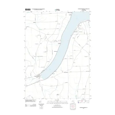
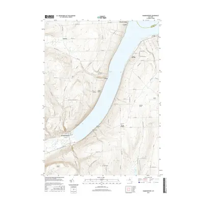
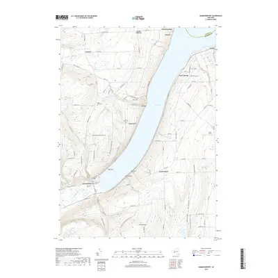
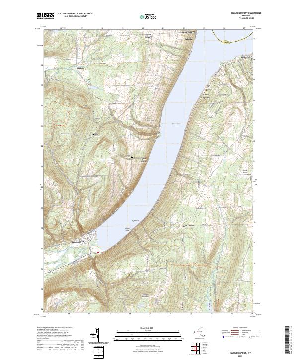 2023 Hammondsport2023 Print · USGSThe southern end of the Finger Lakes region comes to life in this contemporary study of the lakefront and surrounding uplands. Researchers can trace family sites at Elmwood Cem, identify local landmarks like Loucks Airport, and explore the shoreline from Hammondsport to Catawba.
Showing maps 1-25 of 30
Top cities near Prattsburgh
- Bath historical maps
- Bath historical maps
- Jerusalem historical maps
- Wayland historical maps
- Richmond historical maps
- Benton historical maps
See more
Top neighborhoods of Prattsburgh
Frequently asked questions
- What are the different types of historical maps available for Prattsburgh?
- What is the oldest map of Prattsburgh?
- Where can I purchase historical maps of Prattsburgh for my home or office?
- Where can I download high-res historical maps of Prattsburgh?
- Are there historical topographic maps available for Prattsburgh?
- Is there historical aerial imagery available for Prattsburgh?
- Where are historical maps of Prattsburgh sourced from?