2000s (21st Century) Maps of Babylon, New York
Explore 30 historic maps of Babylon from the 2000s (21st Century). These maps offer a rare glimpse into what life looked like during the 2000s — showing old roads, neighborhoods, homes, and landmarks that have changed or disappeared over time.
Whether you're researching your family's past, planning a metal detecting trip, or studying how Babylon's landscape evolved across the 2000s, these high-resolution maps are a powerful tool for exploring the history of this region.
- Focus on a specific era: All maps on this page are from the 2000s, giving you a focused view of this time period.
- See what’s changed: Compare century-old streets, trails, and buildings to today's modern landscape using overlays and satellite layers.
- Research with precision: Use these maps for genealogy, historical research, land use analysis, or educational projects.
- View, download, or print: Maps are fully viewable online in high resolution, and can be downloaded or printed for your own records.
Start exploring Babylon's history through authentic maps from the 2000s. This is your window into the past.
Babylon, NY maps
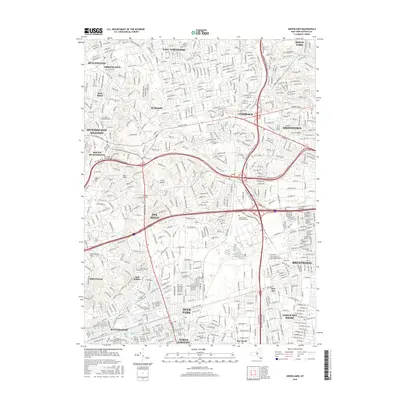
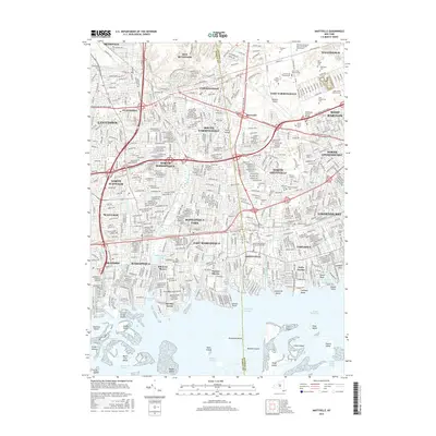
(30)- 2010 Map of Greenlawn, 2010 Print
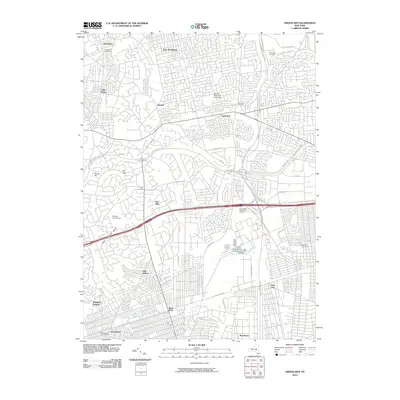 2010 Greenlawn2010 Print · USGSCovers Babylon, including Islip, Huntington, and other nearby areas
 - 2010 Map of Amityville, 2010 Print
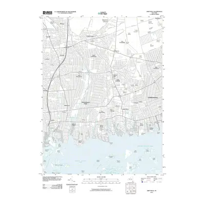 2010 Amityville2010 Print · USGSCovers Babylon, including Hempstead, Oyster Bay, and other nearby areas
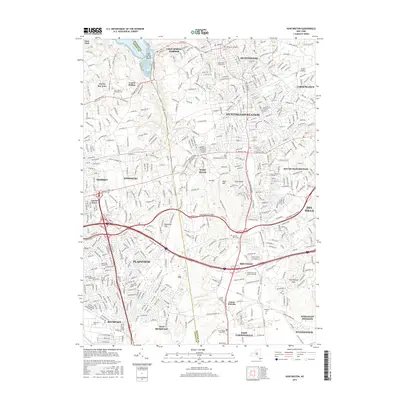
 - 2010 Map of Huntington, 2010 Print
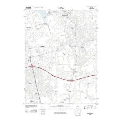 2010 Huntington2010 Print · USGSCovers Babylon, including Oyster Bay, Huntington, and other nearby areas
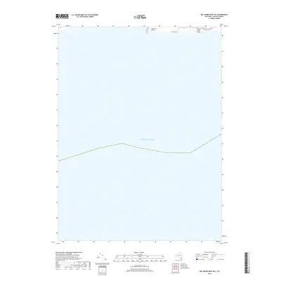
 - 2011 Map of Bay Shore West OE S, 2011 Print
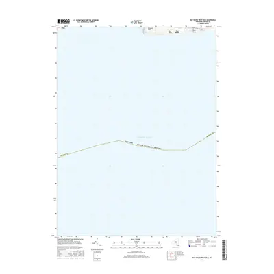
 2011 Bay Shore West OE S2011 Print · USGSCovers Babylon, including Islip, Fire Island, and other nearby areas
 - 2011 Map of Bay Shore West, 2011 Print
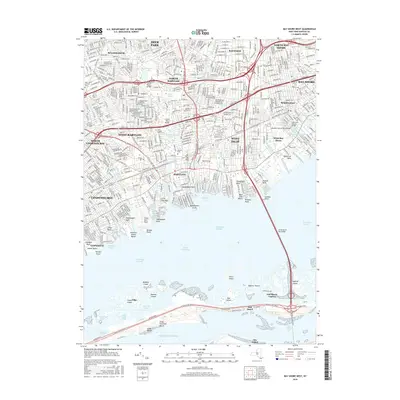
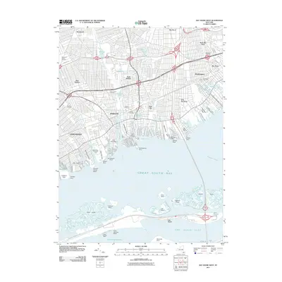 2011 Bay Shore West2011 Print · USGSCovers Babylon, including Islip, West Babylon, and other nearby areas
 - 2012 Map of West Gilgo Beach, 2012 Print
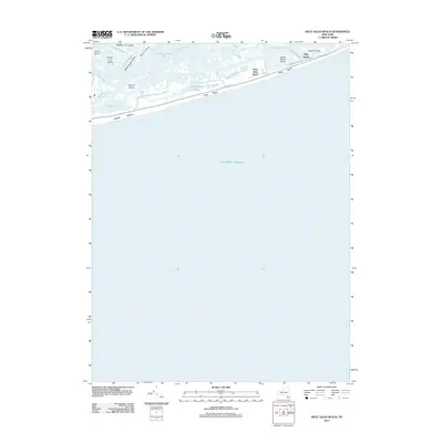 2012 West Gilgo Beach2012 Print · USGSCovers Babylon, including Hempstead, Oyster Bay, and other nearby areas
 - 2013 Map of Greenlawn, 2013 Print
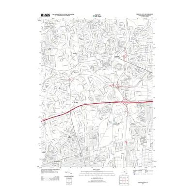 2013 Greenlawn2013 Print · USGSCovers Babylon, including Islip, Huntington, and other nearby areas
 - 2013 Map of Bay Shore West, 2013 Print
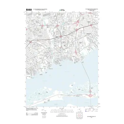 2013 Bay Shore West2013 Print · USGSCovers Babylon, including Islip, West Babylon, and other nearby areas
 - 2013 Map of Bay Shore West OE S, 2013 Print
 2013 Bay Shore West OE S2013 Print · USGSCovers Babylon, including Islip, Fire Island, and other nearby areas
 - 2013 Map of Amityville, 2013 Print
 2013 Amityville2013 Print · USGSCovers Babylon, including Hempstead, Oyster Bay, and other nearby areas
 - 2013 Map of Huntington, 2013 Print
 2013 Huntington2013 Print · USGSCovers Babylon, including Oyster Bay, Huntington, and other nearby areas
 - 2013 Map of West Gilgo Beach, 2013 Print
 2013 West Gilgo Beach2013 Print · USGSCovers Babylon, including Hempstead, Oyster Bay, and other nearby areas
 - 2016 Map of Greenlawn, 2016 Print
 2016 Greenlawn2016 Print · USGSCovers Babylon, including Islip, Huntington, and other nearby areas
 - 2016 Map of Huntington, 2016 Print
 2016 Huntington2016 Print · USGSCovers Babylon, including Oyster Bay, Huntington, and other nearby areas
 - 2016 Map of Bay Shore West OE S, 2016 Print
 2016 Bay Shore West OE S2016 Print · USGSCovers Babylon, including Islip, Fire Island, and other nearby areas
 - 2016 Map of Bay Shore West, 2016 Print
 2016 Bay Shore West2016 Print · USGSCovers Babylon, including Islip, West Babylon, and other nearby areas
 - 2016 Map of West Gilgo Beach, 2016 Print
 2016 West Gilgo Beach2016 Print · USGSCovers Babylon, including Hempstead, Oyster Bay, and other nearby areas
 - 2016 Map of Amityville, 2016 Print
 2016 Amityville2016 Print · USGSCovers Babylon, including Hempstead, Oyster Bay, and other nearby areas
 - 2019 Map of Bay Shore West OE S, 2019 Print
 2019 Bay Shore West OE S2019 Print · USGSCovers Babylon, including Islip, Fire Island, and other nearby areas
 - 2019 Map of Greenlawn, 2019 Print
 2019 Greenlawn2019 Print · USGSCovers Babylon, including Islip, Huntington, and other nearby areas
 - 2019 Map of West Gilgo Beach, 2019 Print
 2019 West Gilgo Beach2019 Print · USGSCovers Babylon, including Hempstead, Oyster Bay, and other nearby areas
 - 2019 Map of Bay Shore West, 2019 Print
 2019 Bay Shore West2019 Print · USGSCovers Babylon, including Islip, West Babylon, and other nearby areas
 - 2019 Map of Huntington, 2019 Print
 2019 Huntington2019 Print · USGSCovers Babylon, including Oyster Bay, Huntington, and other nearby areas
 - 2019 Map of Amityville, 2019 Print
 2019 Amityville2019 Print · USGSCovers Babylon, including Hempstead, Oyster Bay, and other nearby areas
 - 2023 Map of West Gilgo Beach, 2023 Print
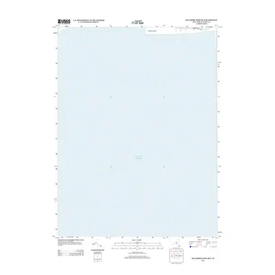
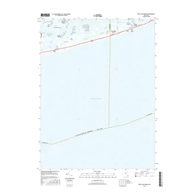
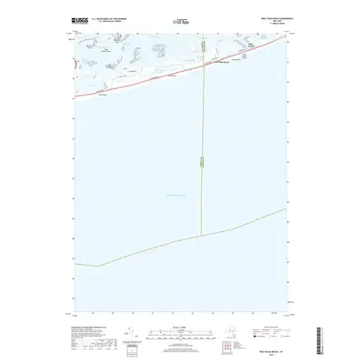
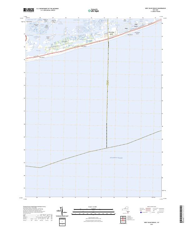 2023 West Gilgo Beach2023 Print · USGSThe barrier islands of Nassau and Suffolk counties are captured in this 2023 survey of the South Shore. Trace the residential layouts of West Gilgo Beach and Gilgo Beach alongside the marshy reaches of South Oyster Bay and Diamond Shoals.
Showing maps 1-25 of 30
Top cities near Babylon
- Hempstead historical maps
- Brookhaven historical maps
- Islip historical maps
- Oyster Bay historical maps
- North Hempstead historical maps
- Huntington historical maps
See more
Top neighborhoods of Babylon
- West Babylon historical maps
- Deer Park historical maps
- Lindenhurst historical maps
- Copiague historical maps
- North Amityville historical maps
- North Babylon historical maps
See more
Frequently asked questions
- What are the different types of historical maps available for Babylon?
- What is the oldest map of Babylon?
- Where can I purchase historical maps of Babylon for my home or office?
- Where can I download high-res historical maps of Babylon?
- Are there historical topographic maps available for Babylon?
- Is there historical aerial imagery available for Babylon?
- Where are historical maps of Babylon sourced from?