2000s (21st Century) Maps of Old Field, Brookhaven
Explore 10 historic maps of Old Field from the 2000s (21st Century). These maps offer a rare glimpse into what life looked like during the 2000s — showing old roads, neighborhoods, homes, and landmarks that have changed or disappeared over time.
Whether you're researching your family's past, planning a metal detecting trip, or studying how Old Field's landscape evolved across the 2000s, these high-resolution maps are a powerful tool for exploring the history of this region.
- Focus on a specific era: All maps on this page are from the 2000s, giving you a focused view of this time period.
- See what’s changed: Compare century-old streets, trails, and buildings to today's modern landscape using overlays and satellite layers.
- Research with precision: Use these maps for genealogy, historical research, land use analysis, or educational projects.
- View, download, or print: Maps are fully viewable online in high resolution, and can be downloaded or printed for your own records.
Start exploring Old Field's history through authentic maps from the 2000s. This is your window into the past.
Old Field, Brookhaven maps
(10)- 2010 Map of Port Jefferson, 2010 Print
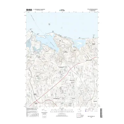
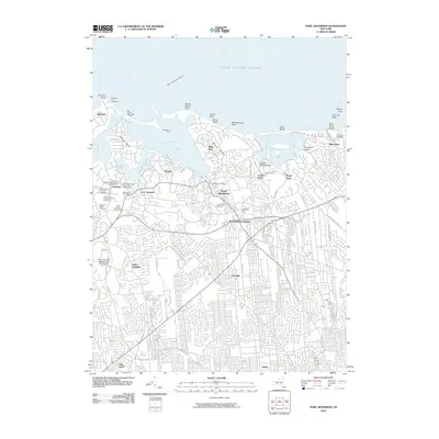 2010 Port Jefferson2010 Print · USGSCovers Old Field, including Brookhaven, Coram, and other nearby areas
 - 2011 Map of Saint James, 2011 Print
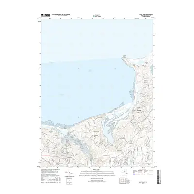
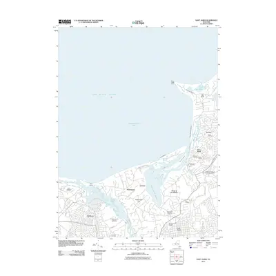 2011 Saint James2011 Print · USGSCovers Old Field, including Brookhaven, Smithtown, and other nearby areas
 - 2013 Map of Saint James, 2013 Print
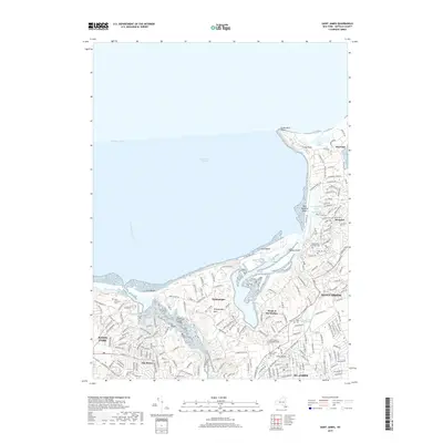
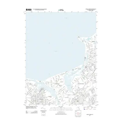 2013 Saint James2013 Print · USGSCovers Old Field, including Brookhaven, Smithtown, and other nearby areas
 - 2013 Map of Port Jefferson, 2013 Print
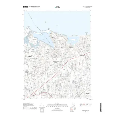
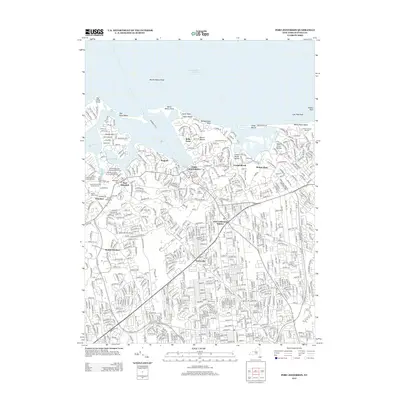 2013 Port Jefferson2013 Print · USGSCovers Old Field, including Brookhaven, Coram, and other nearby areas
 - 2016 Map of Port Jefferson, 2016 Print
 2016 Port Jefferson2016 Print · USGSCovers Old Field, including Brookhaven, Coram, and other nearby areas
 - 2016 Map of Saint James, 2016 Print
 2016 Saint James2016 Print · USGSCovers Old Field, including Brookhaven, Smithtown, and other nearby areas
 - 2019 Map of Saint James, 2019 Print
 2019 Saint James2019 Print · USGSCovers Old Field, including Brookhaven, Smithtown, and other nearby areas
 - 2019 Map of Port Jefferson, 2019 Print
 2019 Port Jefferson2019 Print · USGSCovers Old Field, including Brookhaven, Coram, and other nearby areas
 - 2023 Map of Port Jefferson, 2023 Print
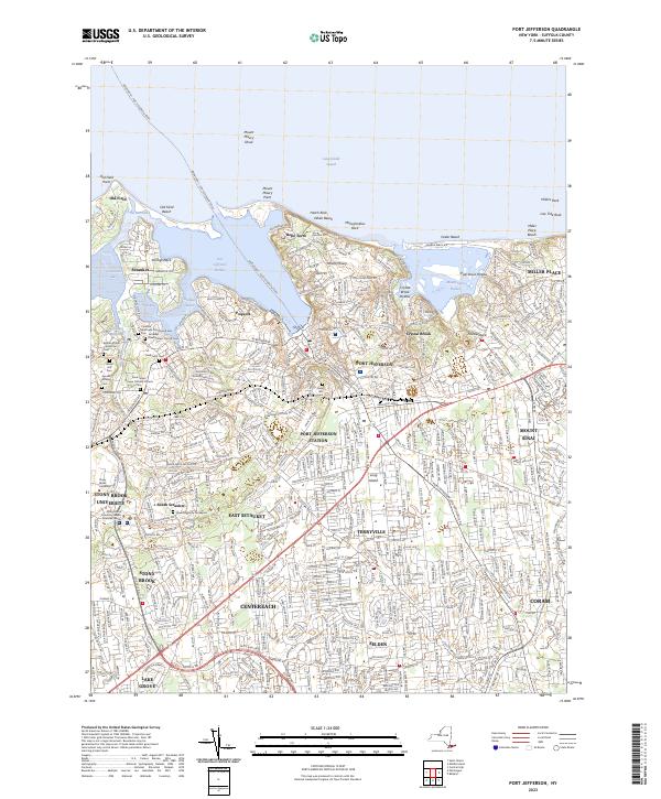 2023 Port Jefferson2023 Print · USGSThe North Shore of Long Island is showcased here in the contemporary era, from the maritime hub of Port Jefferson to the university grounds at Stony Brook. Researchers can trace old family lineages through the Hawkins Family Graveyard or explore the coastal reaches of Old Field Point and Mount Sinai Harbor.
 - 2023 Map of Saint James, 2023 Print
 2023 Saint James2023 Print · USGSThe North Shore of Long Island comes into focus here, showing the modern interplay between the Stony Brook University campus and coastal villages. Genealogists and historians can trace numerous burial sites like Oak Hill Cem and Saint Johnland Cem along the Nissequogue River.
End of results
Showing maps 1-10 of 10
Top cities near Old Field
- Brookhaven historical maps
- Islip historical maps
- Babylon historical maps
- Huntington historical maps
- Bridgeport historical maps
- Smithtown historical maps
See more
Frequently asked questions
- What are the different types of historical maps available for Old Field?
- What is the oldest map of Old Field?
- Where can I purchase historical maps of Old Field for my home or office?
- Where can I download high-res historical maps of Old Field?
- Are there historical topographic maps available for Old Field?
- Is there historical aerial imagery available for Old Field?
- Where are historical maps of Old Field sourced from?