2000s (21st Century) Maps of Northwest Harbor, East Hampton
Explore 20 historic maps of Northwest Harbor from the 2000s (21st Century). These maps offer a rare glimpse into what life looked like during the 2000s — showing old roads, neighborhoods, homes, and landmarks that have changed or disappeared over time.
Whether you're researching your family's past, planning a metal detecting trip, or studying how Northwest Harbor's landscape evolved across the 2000s, these high-resolution maps are a powerful tool for exploring the history of this region.
- Focus on a specific era: All maps on this page are from the 2000s, giving you a focused view of this time period.
- See what’s changed: Compare century-old streets, trails, and buildings to today's modern landscape using overlays and satellite layers.
- Research with precision: Use these maps for genealogy, historical research, land use analysis, or educational projects.
- View, download, or print: Maps are fully viewable online in high resolution, and can be downloaded or printed for your own records.
Start exploring Northwest Harbor's history through authentic maps from the 2000s. This is your window into the past.
Northwest Harbor, East Hampton maps
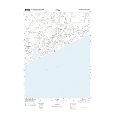
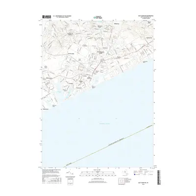
(20)- 2010 Map of Sag Harbor, 2010 Print
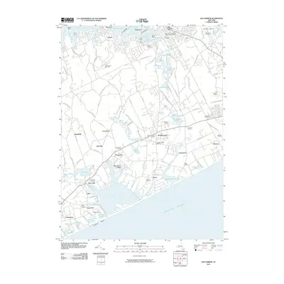 2010 Sag Harbor2010 Print · USGSCovers Northwest Harbor, including Southampton, East Hampton, and other nearby areas
 - 2010 Map of Greenport, 2010 Print
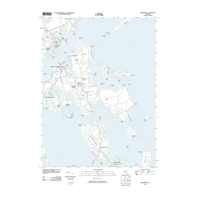 2010 Greenport2010 Print · USGSCovers Northwest Harbor, including Southampton, East Hampton, and other nearby areas
 - 2010 Map of East Hampton, 2010 Print
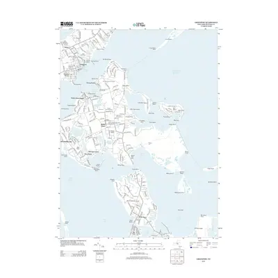
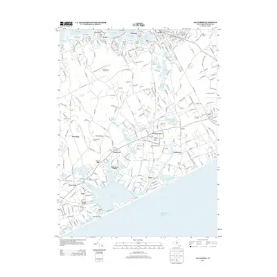
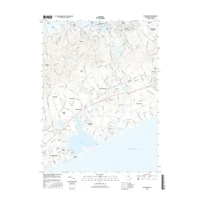
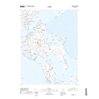
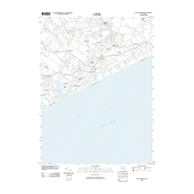 2010 East Hampton2010 Print · USGSCovers Northwest Harbor, including Southampton, East Hampton, and other nearby areas
 - 2010 Map of Gardiners Island West, 2010 Print
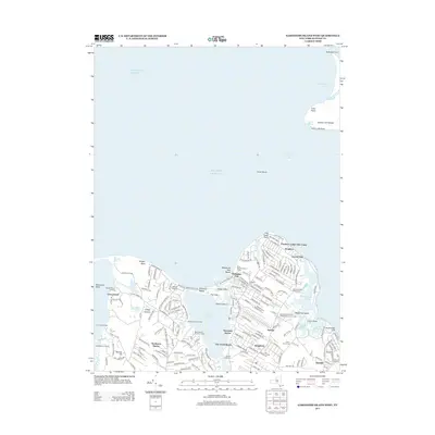
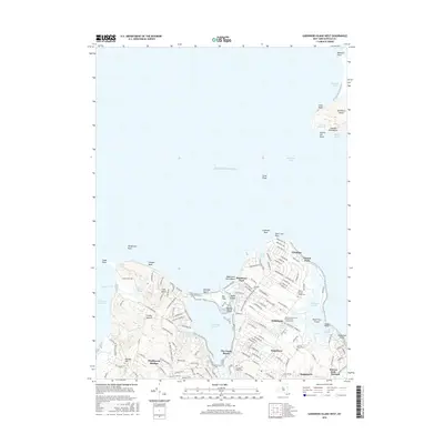
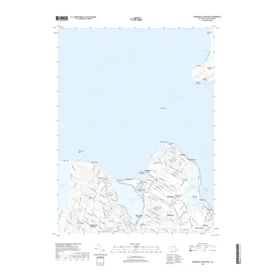
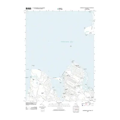 2010 Gardiners Island West2010 Print · USGSCovers Northwest Harbor, including East Hampton, Southold, and other nearby areas
 - 2013 Map of Greenport, 2013 Print
 2013 Greenport2013 Print · USGSCovers Northwest Harbor, including Southampton, East Hampton, and other nearby areas
 - 2013 Map of Gardiners Island West, 2013 Print
 2013 Gardiners Island West2013 Print · USGSCovers Northwest Harbor, including East Hampton, Southold, and other nearby areas
 - 2013 Map of East Hampton, 2013 Print
 2013 East Hampton2013 Print · USGSCovers Northwest Harbor, including Southampton, East Hampton, and other nearby areas
 - 2013 Map of Sag Harbor, 2013 Print
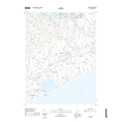
 2013 Sag Harbor2013 Print · USGSCovers Northwest Harbor, including Southampton, East Hampton, and other nearby areas
 - 2016 Map of Gardiners Island West, 2016 Print
 2016 Gardiners Island West2016 Print · USGSCovers Northwest Harbor, including East Hampton, Southold, and other nearby areas
 - 2016 Map of Greenport, 2016 Print
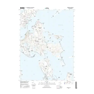 2016 Greenport2016 Print · USGSCovers Northwest Harbor, including Southampton, East Hampton, and other nearby areas
 - 2016 Map of East Hampton, 2016 Print
 2016 East Hampton2016 Print · USGSCovers Northwest Harbor, including Southampton, East Hampton, and other nearby areas
 - 2016 Map of Sag Harbor, 2016 Print
 2016 Sag Harbor2016 Print · USGSCovers Northwest Harbor, including Southampton, East Hampton, and other nearby areas
 - 2019 Map of Greenport, 2019 Print
 2019 Greenport2019 Print · USGSCovers Northwest Harbor, including Southampton, East Hampton, and other nearby areas
 - 2019 Map of Gardiners Island West, 2019 Print
 2019 Gardiners Island West2019 Print · USGSCovers Northwest Harbor, including East Hampton, Southold, and other nearby areas
 - 2019 Map of Sag Harbor, 2019 Print
 2019 Sag Harbor2019 Print · USGSCovers Northwest Harbor, including Southampton, East Hampton, and other nearby areas
 - 2019 Map of East Hampton, 2019 Print
 2019 East Hampton2019 Print · USGSCovers Northwest Harbor, including Southampton, East Hampton, and other nearby areas
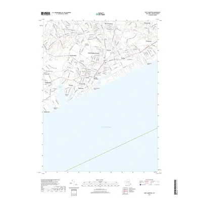
 - 2023 Map of East Hampton, 2023 Print
 2023 East Hampton2023 Print · USGSEastern Long Island at the start of the 2020s shows a dense landscape of historic hamlets and shoreline estates. Trace family lineages through numerous burial grounds like Wainscott Cem and Jericho Cem or explore landmarks around Georgica Pond.
 - 2023 Map of Sag Harbor, 2023 Print
 2023 Sag Harbor2023 Print · USGSThe South Fork of Long Island comes alive in this survey of the Hamptons. Trace family roots and local history through numerous burial grounds like Oakland Cem and the small settlements of Sagaponack, Noyack, and Water Mill.
 - 2023 Map of Greenport, 2023 Print
 2023 Greenport2023 Print · USGSThe maritime character of eastern Long Island is on full display here, showing the intricate relationship between Greenport and Shelter Island. Genealogists can trace family names through sites like Green Hill Cem and Saint Agnes Cem or explore the secluded reaches of Dering Harbor.
 - 2023 Map of Gardiners Island West, 2023 Print
 2023 Gardiners Island West2023 Print · USGSCoastal Suffolk County near the turn of the 21st century shows a landscape of tidal harbors and historic family settlements. Genealogists and historians can trace John Parsons Family Cem, the Springs Community Presbyterian Church, and the shores of Gardiners Island.
End of results
Showing maps 1-20 of 20
Top cities near Northwest Harbor
- Southampton historical maps
- East Hampton historical maps
- Southold historical maps
- Springs historical maps
- Southold historical maps
- North Sea historical maps
See more
Frequently asked questions
- What are the different types of historical maps available for Northwest Harbor?
- What is the oldest map of Northwest Harbor?
- Where can I purchase historical maps of Northwest Harbor for my home or office?
- Where can I download high-res historical maps of Northwest Harbor?
- Are there historical topographic maps available for Northwest Harbor?
- Is there historical aerial imagery available for Northwest Harbor?
- Where are historical maps of Northwest Harbor sourced from?