Old Maps of West Bay Shore, Islip for Metal Detecting
Plan your next treasure hunt with 30 historic maps of West Bay Shore. Find old homesites, ghost towns, trails, and gathering spots that may be lost to time — perfect for identifying promising metal detecting locations.
- Locate forgotten sites: Uncover places like long-lost settlements, abandoned rail lines, or gathering spots.
- Plan better hunts: Use map overlays combined with LiDAR or satellite views to narrow in on historically rich areas.
- Made for detectorists: Thousands of hobbyists use these maps to discover relics, coins, and hidden history.
Use these historic maps to boost your research and find new opportunities beneath the surface of West Bay Shore.
West Bay Shore, Islip maps
(30)- 1901 Map of Babylon, 1958 Print
 1901 Babylon1958 Print · USGSThe South Shore of Long Island at the turn of the century shows a landscape of rail-linked villages and tidal marshes. Trace early transit hubs like Bethpage Junc. and maritime outposts such as the Zachs Inlet L.S.S. along the coast.
 - 1902 Map of Fire Island, 1962 Print
 1902 Fire Island1962 Print · USGSThe South Shore of Long Island is captured here at the dawn of the twentieth century, anchored by the Montauk Division rail line. Genealogists and maritime historians can locate early settlements like Oakdale and trace the vital network of Life-Saving Stations including Point O'Woods L.S.S. and Blue Point L.S.S. along the barrier beach.
 - 1903 Map of Babylon
 1903 Babylon1903 Print · USGSSouthern Suffolk County coastal life and rail expansion are captured here at the turn of the century. Genealogists and historians can trace early residential clusters around Amityville or locate coastal landmarks like Oak Island L.S.S. and Bethpage Junc.8 unique versions available
 - 1903 Map of Fire Island
 1903 Fire Island1903 Print · USGSLong Island's southern shore and the outer barrier beach are captured here at the turn of the century. You can trace early coastal infrastructure through the Fire Island Lighthouse and life-saving stations like Lone Hill L.S.S. and Blue Point L.S.S..6 unique versions available
 - 1904 Map of Islip
 1904 Islip1904 Print · USGSSuffolk County at the start of the century reveals a landscape defined by deep north-shore harbors and the expansive Great South Bay. Genealogists and local historians can trace early rail lines through Kings Park and Stony Brook, or locate the sprawling State Hospital and St. Dominic Convent.5 unique versions available
 - 1919 Map of Babylon
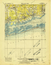 1919 Babylon1919 Print · USGSThe South Shore of Long Island is captured here during a period of steady growth between the world wars. Genealogists and local historians can trace early transportation routes like the Motor Parkway and locate coastal landmarks such as the Oak Island L.S.S. and St. Dominic Convent.
 - 1941 Map of Bay Shore West
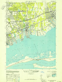 1941 Bay Shore West1941 Print · USGSCoastal Suffolk County comes to life during the early 1940s, showing the South Shore villages as the Long Island suburb began to take shape. Researchers can trace the layout of early school districts like the Union Free Sch or find local landmarks such as the Babylon Yacht Club and St Patricks Ch.
 - 1942 Map of Islip, 1943 Print
 1942 Islip1943 Print · USGSCentral Suffolk County is shown during the early years of the war, as the automobile began to reshape the distance between historic North Shore harbors and the South Shore bays. Researchers can trace the path of the Long Island Motor Parkway, locate family plots at Pinelawn Cem, and identify coastal landmarks like Eaton Neck L H.
 - 1944 Map of Bay Shore East
 1944 Bay Shore East1944 Print · USGSThe Long Island shoreline near Bay Shore and Islip is captured here during the 1940s. Researchers can trace the development of barrier island communities like Ocean Beach and Point O' Woods or locate the historic Fire Island Coast Guard station.
 - 1949 Map of New York, 1951 Print
 1949 New York1951 Print · USGSLong Island and its surrounding waters are documented here in the late 1940s, just as the postwar suburban boom began to transform the region. Genealogists and historians can trace the early layouts of Idlewild Airport, Mitchell Field, and the established routes of the Long Island RR.
 - 1954 Map of New York
 1954 New York1954 Print · USGSLong Island and the New York metropolitan area are shown during the height of post-war suburbanization. Genealogists and historians can trace the growth of Levittown, the infrastructure of the Long Island Rail Road, and landmarks like Mitchel Afb.2 unique versions available
 - 1954 Map of Bay Shore West, 1956 Print
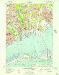 1954 Bay Shore West1956 Print · USGSMid-century Suffolk County is captured here during its post-war housing boom, from the growing suburbs of Wyandanch to the barrier beaches. Genealogists and local historians can trace old family plots at St Josephs Cem, explore the early footprint of Belmont Lake State Park, or follow the historic Long Island Railroad line.
 - 1955 Map of Bay Shore East, 1957 Print
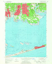 1955 Bay Shore East1957 Print · USGSCoastal Suffolk County thrives in the mid-fifties as mainland suburbs like East Islip and Brightwaters expand toward the Great South Bay. Researchers can trace ferry routes to seasonal colonies at Ocean Beach or locate local landmarks like Brookwood Hall Orphanage.2 unique versions available
 - 1957 Map of New York, 1975 Print
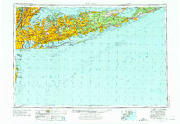 1957 New York1975 Print · USGSLong Island and the New York metropolitan area are shown in this mid-century survey during a period of massive suburban growth and industrial expansion. Researchers can trace the Long Island RR network and locate landmarks like Fort Tilden or the Brookhaven National Laboratory.
 - 1958 Map of New York
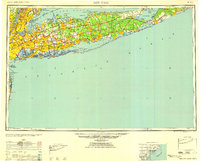 1958 New York1958 Print · USGSLong Island at the height of its postwar expansion reveals a landscape of rapidly growing suburbs and critical military installations. Genealogists and historians can trace the early footprints of Levittown, the terminals of Idlewild Airport, and the grounds of Brookhaven National Laboratory.3 unique versions available
 - 1960 Map of New York, 1979 Print
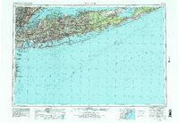 1960 New York1979 Print · USGSLong Island and the five boroughs are shown at a transformative moment mid-century as suburban expansion reshaped the landscape. Researchers can trace family roots through evolving neighborhoods from Rockville Centre to Sayville, or locate historic maritime landmarks like Eatons Neck and Montauk Point.2 unique versions available
 - 1967 Map of Bay Shore East, 1969 Print
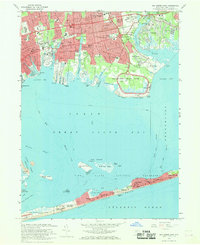 1967 Bay Shore East1969 Print · USGSThe South Shore of Long Island is captured here in the late sixties, showing the suburban expansion of Bay Shore and Islip alongside the preserved reaches of Heckscher State Park. Genealogists and historians can trace local landmarks like Oakwood Cemetery, St Marys Ch, and the iconic Fire Island Lighthouse.2 unique versions available
 - 1969 Map of New York
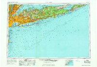 1969 New York1969 Print · USGSLong Island and the New York harbor area are shown here during a peak era of suburban expansion and Cold War defense. Trace the growth of Levittown, the infrastructure of Idlewild NY International Airport, and the reach of the Long Island RR.
 - 1969 Map of Bay Shore West, 1971 Print
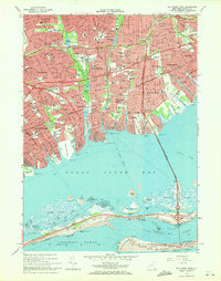 1969 Bay Shore West1971 Print · USGSCoastal Suffolk County comes alive in the late sixties, showcasing the dense residential growth and expanding parkway systems of the South Shore. Genealogists and local historians can trace legacy sites from the Breslau Cem to the Long Island Rail Road and Babylon Yacht Club.3 unique versions available
 - 1984 Map of Long Island West, 1986 Print
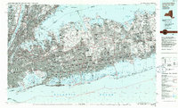 1984 Long Island West1986 Print · USGSWestern Long Island in the mid-eighties shows a mature suburban landscape defined by its famous expressways and historic rail lines. Researchers can trace the development of planned communities like Levittown or locate landmarks such as Fort Totten Mil Res and Stony Brook.2 unique versions available
 - 2011 Map of Bay Shore East, 2011 Print
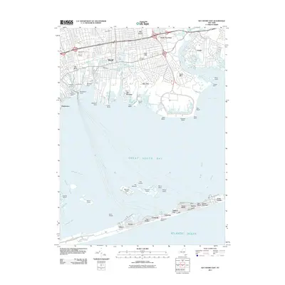 2011 Bay Shore East2011 Print · USGSThe South Shore of Long Island is shown here just after the first decade of the new millennium, spanning from the suburban core of Islip to the summer colonies of Fire Island. Local historians can trace the development of mainland landmarks like Islip Speedway and Saint Patricks Cemetery or explore the barrier beach settlements of Saltaire and Ocean Beach.
 - 2011 Map of Bay Shore West, 2011 Print
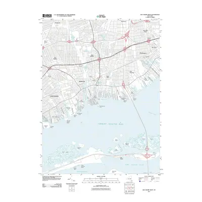 2011 Bay Shore West2011 Print · USGSThe South Shore of Long Island is captured here in detail during the early 21st century, showing the dense suburban development and maritime heritage of Suffolk County. Researchers can trace local history through sites like Saint Josephs Cemetery, the Babylon Post Office, and the coastal reaches of Cedar Beach.
 - 2013 Map of Bay Shore West, 2013 Print
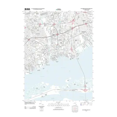 2013 Bay Shore West2013 Print · USGSThe suburban shoreline of Suffolk County meets the Great South Bay in this detailed look at early twenty-first-century Long Island. Local historians can trace established neighborhoods from West Islip to Brightwaters, alongside coastal landmarks like Babylon Cem and Cedar Beach.
 - 2013 Map of Bay Shore East, 2013 Print
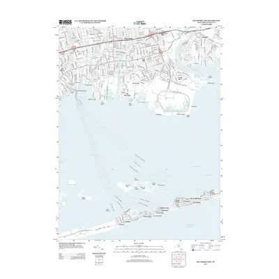 2013 Bay Shore East2013 Print · USGSThe Great South Bay and the barrier beaches of Long Island are shown in detail during the early twenty-first century. Researchers can trace ferry crossings to island settlements like Saltaire, Ocean Beach, and Point o'Woods or explore mainland sites like Oakwood Cem.
 - 2016 Map of Bay Shore East, 2016 Print
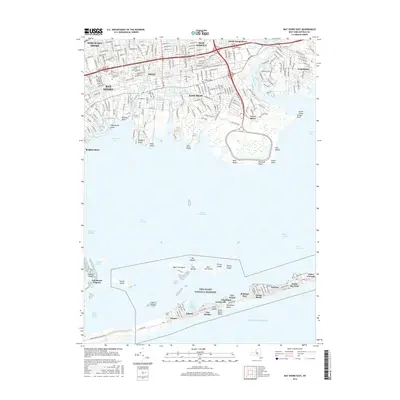 2016 Bay Shore East2016 Print · USGSCoastal Suffolk County in the mid-2010s shows a landscape of dense mainland suburbs and the preserved barrier of the Fire Island National Seashore. Trace the unique foot-traffic communities of Saltaire and Ocean Beach or locate family plots at Oakwood Cem.
Showing maps 1-25 of 30
Top cities near West Bay Shore
- Hempstead historical maps
- Brookhaven historical maps
- Islip historical maps
- Oyster Bay historical maps
- Babylon historical maps
- Huntington historical maps
See more
Frequently asked questions
- What are the different types of historical maps available for West Bay Shore?
- What is the oldest map of West Bay Shore?
- Where can I purchase historical maps of West Bay Shore for my home or office?
- Where can I download high-res historical maps of West Bay Shore?
- Are there historical topographic maps available for West Bay Shore?
- Is there historical aerial imagery available for West Bay Shore?
- Where are historical maps of West Bay Shore sourced from?