2000s (21st Century) Maps of Lake Ronkonkoma, New York
Explore 10 historic maps of Lake Ronkonkoma from the 2000s (21st Century). These maps offer a rare glimpse into what life looked like during the 2000s — showing old roads, neighborhoods, homes, and landmarks that have changed or disappeared over time.
Whether you're researching your family's past, planning a metal detecting trip, or studying how Lake Ronkonkoma's landscape evolved across the 2000s, these high-resolution maps are a powerful tool for exploring the history of this region.
- Focus on a specific era: All maps on this page are from the 2000s, giving you a focused view of this time period.
- See what’s changed: Compare century-old streets, trails, and buildings to today's modern landscape using overlays and satellite layers.
- Research with precision: Use these maps for genealogy, historical research, land use analysis, or educational projects.
- View, download, or print: Maps are fully viewable online in high resolution, and can be downloaded or printed for your own records.
Start exploring Lake Ronkonkoma's history through authentic maps from the 2000s. This is your window into the past.
Lake Ronkonkoma, NY maps
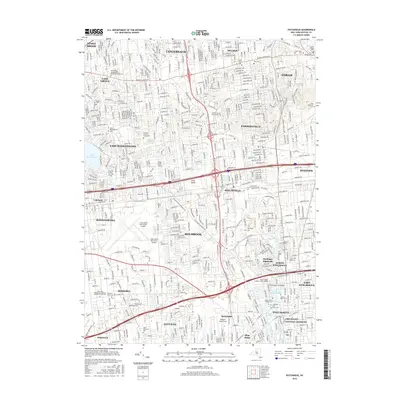
(10)- 2010 Map of Central Islip, 2010 Print
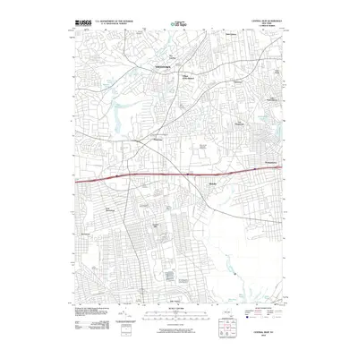 2010 Central Islip2010 Print · USGSCovers Lake Ronkonkoma, including Brookhaven, Islip, and other nearby areas
 - 2010 Map of Patchogue, 2010 Print
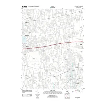 2010 Patchogue2010 Print · USGSCovers Lake Ronkonkoma, including Brookhaven, Islip, and other nearby areas
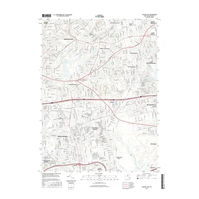
 - 2013 Map of Central Islip, 2013 Print
 2013 Central Islip2013 Print · USGSCovers Lake Ronkonkoma, including Brookhaven, Islip, and other nearby areas
 - 2013 Map of Patchogue, 2013 Print
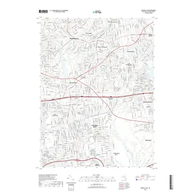
 2013 Patchogue2013 Print · USGSCovers Lake Ronkonkoma, including Brookhaven, Islip, and other nearby areas
 - 2016 Map of Patchogue, 2016 Print
 2016 Patchogue2016 Print · USGSCovers Lake Ronkonkoma, including Brookhaven, Islip, and other nearby areas
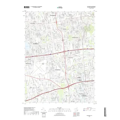
 - 2016 Map of Central Islip, 2016 Print
 2016 Central Islip2016 Print · USGSCovers Lake Ronkonkoma, including Brookhaven, Islip, and other nearby areas
 - 2019 Map of Central Islip, 2019 Print
 2019 Central Islip2019 Print · USGSCovers Lake Ronkonkoma, including Brookhaven, Islip, and other nearby areas
 - 2019 Map of Patchogue, 2019 Print
 2019 Patchogue2019 Print · USGSCovers Lake Ronkonkoma, including Brookhaven, Islip, and other nearby areas
 - 2023 Map of Central Islip, 2023 Print
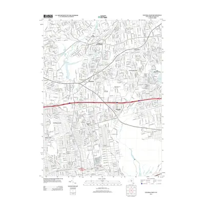
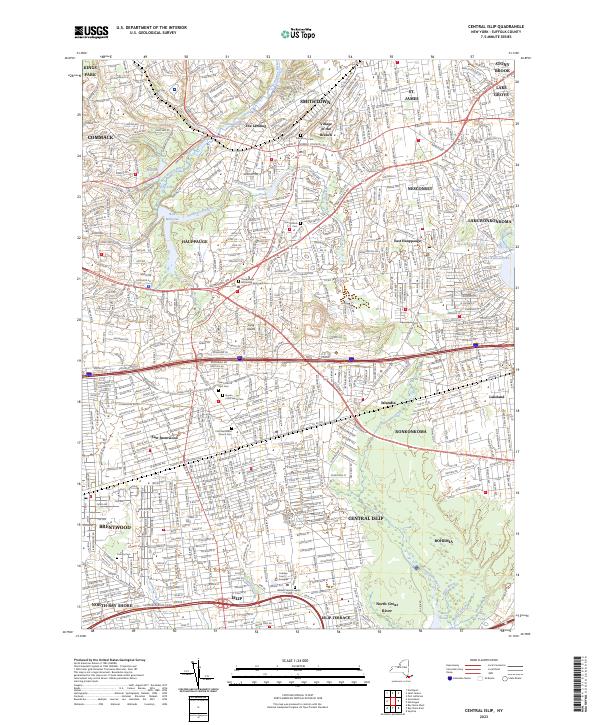 2023 Central Islip2023 Print · USGSCentral Islip and the surrounding Suffolk County townships are shown here in the early twenty-first century. Genealogists can trace family sites at Saint Patrick Cem and Calvary Cem or locate regional landmarks like Willard State Hospital.
 - 2023 Map of Patchogue, 2023 Print
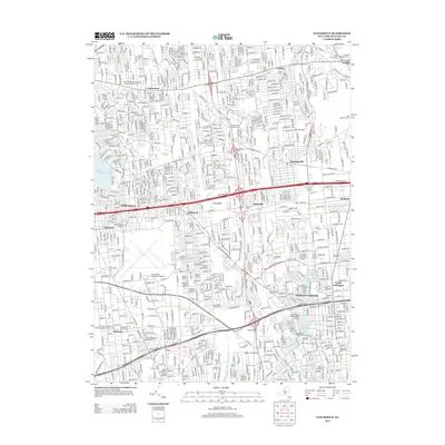
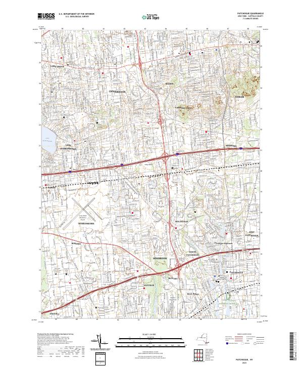 2023 Patchogue2023 Print · USGSCentral Long Island hamlets and coastal communities are shown in high detail in the early 2020s. Researchers can trace historic sites like the Old Coram Cem and the Cenacle Convent Graveyard near Lake Ronkonkoma.
End of results
Showing maps 1-10 of 10
Top cities near Lake Ronkonkoma
- Brookhaven historical maps
- Islip historical maps
- Babylon historical maps
- Huntington historical maps
- Smithtown historical maps
- Brentwood historical maps
See more
Top neighborhoods of Lake Ronkonkoma
Frequently asked questions
- What are the different types of historical maps available for Lake Ronkonkoma?
- What is the oldest map of Lake Ronkonkoma?
- Where can I purchase historical maps of Lake Ronkonkoma for my home or office?
- Where can I download high-res historical maps of Lake Ronkonkoma?
- Are there historical topographic maps available for Lake Ronkonkoma?
- Is there historical aerial imagery available for Lake Ronkonkoma?
- Where are historical maps of Lake Ronkonkoma sourced from?