2020s Maps of Riverhead, New York
Explore 10 historic maps of Riverhead from the 2020s. These maps offer a rare glimpse into what life looked like during the 2020s — showing old roads, neighborhoods, homes, and landmarks that have changed or disappeared over time.
Whether you're researching your family's past, planning a metal detecting trip, or studying how Riverhead's landscape evolved across the 2020s, these high-resolution maps are a powerful tool for exploring the history of this region.
- Focus on a specific era: All maps on this page are from the 2020s, giving you a focused view of this time period.
- See what’s changed: Compare century-old streets, trails, and buildings to today's modern landscape using overlays and satellite layers.
- Research with precision: Use these maps for genealogy, historical research, land use analysis, or educational projects.
- View, download, or print: Maps are fully viewable online in high resolution, and can be downloaded or printed for your own records.
Start exploring Riverhead's history through authentic maps from the 2020s. This is your window into the past.
Riverhead, NY maps
(10)- 2021 Map of Branford OE S, 2021 Print
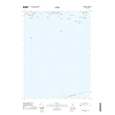 2021 Branford OE S2021 Print · USGSCovers Riverhead, including Branford, East Haven, and other nearby areas
 - 2021 Map of Guilford OE S, 2021 Print
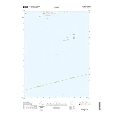 2021 Guilford OE S2021 Print · USGSCovers Riverhead, including Branford, Southold, and other nearby areas
 - 2023 Map of Mattituck, 2023 Print
 2023 Mattituck2023 Print · USGSThe North Fork and Flanders Bay area is shown here during its modern era of coastal growth. Researchers can trace family history at Sound Avenue Cemetery or locate the historic waters of Marratooka Pond and Laurel Lake.
 - 2023 Map of Wading River, 2023 Print
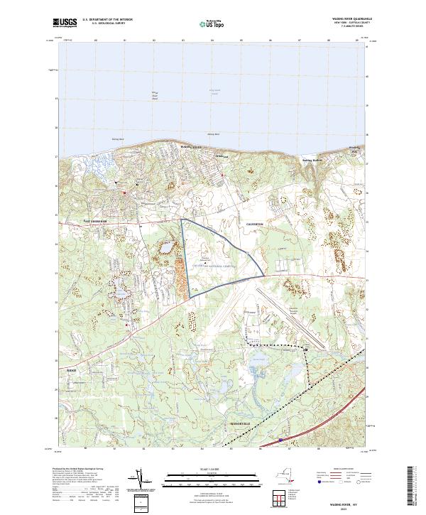 2023 Wading River2023 Print · USGSThe northern shore of Long Island and the interior pine barrens are captured in this contemporary survey. Researchers can trace family history at the Calverton National Cem or explore the many kettle ponds like Lake Panamoka and Deep Pond.
 - 2023 Map of Mattituck Hills, 2023 Print
 2023 Mattituck Hills2023 Print · USGSThe North Fork of Long Island is documented here in the early twenty-first century, showing the rugged coastline from Mattituck Hills to Cutchogue. Researchers can trace the winding Mattituck Inlet and locate family-named landmarks like Oregon Hills and Shore Acres.
 - 2023 Map of Riverhead, 2023 Print
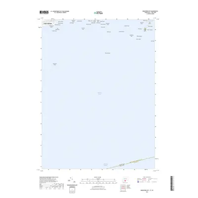
 2023 Riverhead2023 Print · USGSRiverhead and its neighboring villages are captured in this modern survey of the North Fork and Peconic River. Researchers can trace historic properties near Sweyze and Flanders, or locate burial sites at Baiting Hollow Cem and Riverhead Cem.
 - 2023 Map of Middle Island, 2023 Print
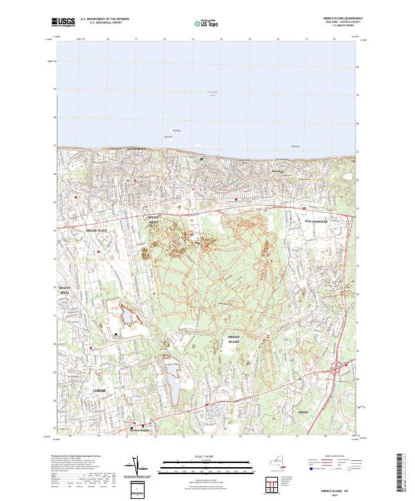 2023 Middle Island2023 Print · USGSThe northern shore of Long Island in the 2020s shows a landscape of coastal communities and expansive trail networks. Genealogists and hikers alike can trace the Noah Hallock Cem or follow the Blue Hiking Trl through the heart of Middle Island.
 - 2023 Map of Branford OE S, 2023 Print
 2023 Branford OE S2023 Print · USGSCovers Riverhead, including Branford, East Haven, and other nearby areas
 - 2024 Map of Guilford OE S, 2024 Print
 2024 Guilford OE S2024 Print · USGSThe Connecticut coast near New Haven is captured in this recent survey, focusing on the maritime interface where the mainland meets the sound. Maritime historians can trace the positions of prominent hazards and shelters like Falkner Island, Sachem Head, and Bloody Cove.
 - 2024 Map of Branford OE S, 2024 Print
 2024 Branford OE S2024 Print · USGSThe Connecticut shoreline and its maritime hazards are meticulously detailed in this recent coastal survey. Researchers can trace the protected islands of the Stewart B McKinney National Wildlife Refuge and locate landings like Momauguin Beach and Money Island.
End of results
Showing maps 1-10 of 10
Top cities near Riverhead
- Brookhaven historical maps
- Southampton historical maps
- West Haven historical maps
- Shirley historical maps
- Medford historical maps
- Southold historical maps
See more
Top neighborhoods of Riverhead
- Riverhead historical maps
- Wading River historical maps
- Calverton historical maps
- Baiting Hollow historical maps
- Aquebogue historical maps
- Jamesport historical maps
See more
Frequently asked questions
- What are the different types of historical maps available for Riverhead?
- What is the oldest map of Riverhead?
- Where can I purchase historical maps of Riverhead for my home or office?
- Where can I download high-res historical maps of Riverhead?
- Are there historical topographic maps available for Riverhead?
- Is there historical aerial imagery available for Riverhead?
- Where are historical maps of Riverhead sourced from?