Old Maps of Northville, Riverhead for Hiking & Exploration
Hike through history with 37 historic maps of Northville. Explore old trails, ghost towns, and forgotten backroads — perfect for outdoor adventurers and local explorers.
- Rediscover forgotten places: Map out old mining camps, roads, and footpaths that no longer exist on modern maps.
- Layer with modern tools: Combine with LiDAR or satellite views to plan hikes through historical terrain.
- Made for exploration: Popular among hikers, overlanders, and local history lovers.
Use these maps to find adventure and explore the hidden past of Northville.
Northville, Riverhead maps
(37)- 1903 Map of Riverhead, 1963 Print
 1903 Riverhead1963 Print · USGSThe forks of Long Island come alive in this early 1900s survey of the bustling rail and maritime corridor. Researchers can trace the Long Island Railroad through historic hamlets like Good Ground, Aquebogue, and the early shoreline of Shinnecock Bay.
 - 1904 Map of Riverhead
 1904 Riverhead1904 Print · USGSEastern Long Island at the turn of the century shows a landscape of rail-connected hamlets and coastal vigilance. Researchers can trace the early layout of Riverhead or locate historic life-saving outposts like Tiana L.S.S. and Potunk L.S.S. along the barrier beaches.9 unique versions available
 - 1943 Map of Riverhead
 1943 Riverhead1943 Print · USGSLong Island's eastern forks appear here in the early twentieth century as a landscape of coastal hamlets and maritime commerce. Trace the path of the Montauk Division railroad through RIVERHEAD or locate family roots in Mattituck, Speonk, and Good Ground.
 - 1947 Map of Mattituck
 1947 Mattituck1947 Print · USGSNorth and South Fork communities are captured here in the mid-1940s as the Long Island Railroad connects rural farmlands to the bays. Genealogists and local historians can trace family-named sites like Squiretown, Northville, and Jacobs Hill across this unique double-shoreline landscape.
 - 1947 Map of Mattituck Hills
 1947 Mattituck Hills1947 Print · USGSThe North Fork of Long Island comes into focus during the late 1940s, showing a landscape of coastal bluffs and fertile farmland. Researchers can trace family-named roads like Alvans Lane and Elijans Lane or locate landmarks like Mattituck Light and Waterville.
 - 1947 Map of Riverhead
 1947 Riverhead1947 Print · USGSRiverhead and the Peconic River valley are captured here just after the war, showing the area's transition from agricultural heartland to a regional hub. Researchers can trace the Long Island Railroad route, family-named roads like Osborn Ave, and local sites like the LI Research Veg Farm.
 - 1947 Map of Hartford, 1955 Print
 1947 Hartford1955 Print · USGSSouthern New England and the Hudson Valley are shown in detail during the post-war expansion era. Genealogists and researchers can trace local landmarks from the State Capitol and Yale University to the Stratford Lighthouse and Woodlawn Cem.2 unique versions available
 - 1948 Map of Hartford
 1948 Hartford1948 Print · USGSSouthern New England is captured here in the late 1940s, showcasing a landscape of thriving industrial cities and developing parkways. Genealogists and historians can trace the rail networks of the New York New Haven and Hartford RR or locate coastal defense sites like Fort Terry and Camp Shanks.2 unique versions available
 - 1949 Map of New York, 1951 Print
 1949 New York1951 Print · USGSLong Island and its surrounding waters are documented here in the late 1940s, just as the postwar suburban boom began to transform the region. Genealogists and historians can trace the early layouts of Idlewild Airport, Mitchell Field, and the established routes of the Long Island RR.
 - 1954 Map of New York
 1954 New York1954 Print · USGSLong Island and the New York metropolitan area are shown during the height of post-war suburbanization. Genealogists and historians can trace the growth of Levittown, the infrastructure of the Long Island Rail Road, and landmarks like Mitchel Afb.2 unique versions available
 - 1956 Map of Mattituck, 1958 Print
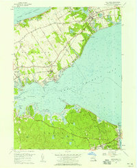 1956 Mattituck1958 Print · USGSThe North and South Forks of Long Island are shown in the mid-fifties, capturing a landscape of coastal camps and quiet agricultural hamlets. Researchers can trace the Long Island RR through Mattituck or locate historic sites like Canoe Place and Camp Immaculate.4 unique versions available
 - 1956 Map of Riverhead, 1958 Print
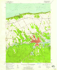 1956 Riverhead1958 Print · USGSThe North Fork and Pine Barrens meet at Riverhead during the mid-fifties, showing a landscape defined by the Peconic River and coastal industry. Genealogists and local historians can locate St Johns Cem, the Riverhead Raceway, and the old Roanoke Sch.3 unique versions available
 - 1956 Map of Mattituck Hills, 1958 Print
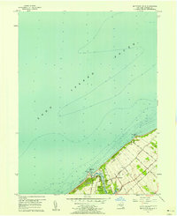 1956 Mattituck Hills1958 Print · USGSThe North Fork of Long Island comes into focus during the mid-fifties, showing the maritime landscape from Mattituck Inlet to the high ground of the Mattituck Hills. Genealogists and local historians can trace family-named routes like Reeve Road and Alvahs Road or locate early settlements at Shore Acres and Waterville.2 unique versions available
 - 1957 Map of New York, 1975 Print
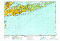 1957 New York1975 Print · USGSLong Island and the New York metropolitan area are shown in this mid-century survey during a period of massive suburban growth and industrial expansion. Researchers can trace the Long Island RR network and locate landmarks like Fort Tilden or the Brookhaven National Laboratory.
 - 1958 Map of New York
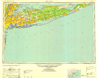 1958 New York1958 Print · USGSLong Island at the height of its postwar expansion reveals a landscape of rapidly growing suburbs and critical military installations. Genealogists and historians can trace the early footprints of Levittown, the terminals of Idlewild Airport, and the grounds of Brookhaven National Laboratory.3 unique versions available
 - 1960 Map of New York, 1979 Print
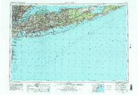 1960 New York1979 Print · USGSLong Island and the five boroughs are shown at a transformative moment mid-century as suburban expansion reshaped the landscape. Researchers can trace family roots through evolving neighborhoods from Rockville Centre to Sayville, or locate historic maritime landmarks like Eatons Neck and Montauk Point.2 unique versions available
 - 1961 Map of Hartford
 1961 Hartford1961 Print · USGSSouthern New England and the Hudson Valley are shown here in the mid-fifties, capturing a landscape of booming coastal cities and interior hill towns. Researchers can trace the legacy of the New York New Haven and Hartford rail corridor and find strategic sites like Camp Shanks and Fort Michie.
 - 1962 Map of Hartford, 1971 Print
 1962 Hartford1971 Print · USGSSouthern New England and the Hudson Valley are shown in the early sixties, as suburban growth reached into the foothills. Trace the path of the New York New Haven & Hartford RR and find landmarks like Camp Nathan Hale and Gillette Castle State Park.3 unique versions available
 - 1965 Map of Hartford
 1965 Hartford1965 Print · USGSSouthern New England and the Hudson Valley are shown here during the mid-sixties expansion of the Interstate era. Trace the path of the New York New Haven & Hartford RR or locate historic landmarks like West Point Military Reservation and the Merritt Parkway.2 unique versions available
 - 1969 Map of New York
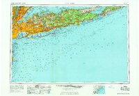 1969 New York1969 Print · USGSLong Island and the New York harbor area are shown here during a peak era of suburban expansion and Cold War defense. Trace the growth of Levittown, the infrastructure of Idlewild NY International Airport, and the reach of the Long Island RR.
 - 1983 Map of New Haven, 1985 Print
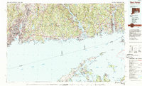 1983 New Haven1985 Print · USGSThe Connecticut shoreline and eastern Long Island are documented here in the early eighties, from the streets of New Haven to the piers of New London. Genealogists and historians can trace the geography of maritime heritage and academia at Yale University and the U.S. Coast Guard Academy.2 unique versions available
 - 1984 Map of Long Island East, 1985 Print
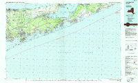 1984 Long Island East1985 Print · USGSEastern Long Island in the 1980s reveals a landscape of suburban growth and coastal preservation. Trace the mid-century development of Hampton Bays alongside Calverton National Cemetery and the Long Island Rail Road.3 unique versions available
 - 2010 Map of Mattituck, 2010 Print
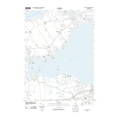 2010 Mattituck2010 Print · USGSEastern Long Island at the start of the 21st century reveals a landscape where historic vineyards and museum farms border the Peconic bays. Genealogists and local historians can trace legacy sites like the Hallockville Museum Farm, the Mattituck Presbyterian Cemetery, and the old portage area at Canoe Place.
 - 2010 Map of Mattituck Hills, 2010 Print
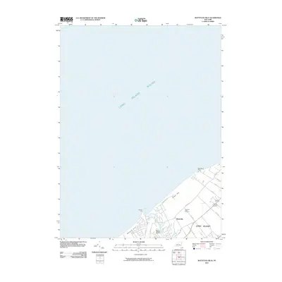 2010 Mattituck Hills2010 Print · USGSThe North Fork of Long Island at the start of the decade showcases a distinct blend of maritime access and established viticulture. Researchers can trace the shoreline from Duck Pond Point to Mattituck Inlet, locating Shore Acres and the Mattituck Light.
 - 2010 Map of Riverhead, 2010 Print
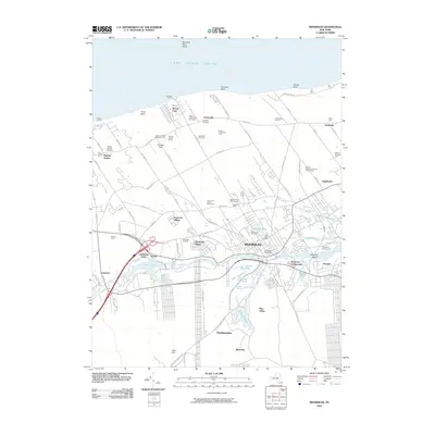 2010 Riverhead2010 Print · USGSThe North Fork of Long Island at the dawn of the 2010s shows a landscape of agricultural heritage and expanding residential villages. Genealogists and historians can trace family farmsteads like Edward Zilnicki Farms or locate ancestors in Saint Johns Cemetery and Riverhead Cemetery.
Showing maps 1-25 of 37
Top cities near Northville
- Brookhaven historical maps
- Southampton historical maps
- Riverhead historical maps
- Southold historical maps
- Mastic historical maps
- Hampton Bays historical maps
See more
Frequently asked questions
- What are the different types of historical maps available for Northville?
- What is the oldest map of Northville?
- Where can I purchase historical maps of Northville for my home or office?
- Where can I download high-res historical maps of Northville?
- Are there historical topographic maps available for Northville?
- Is there historical aerial imagery available for Northville?
- Where are historical maps of Northville sourced from?