2000s (21st Century) Maps of Cutchogue, Southold
Explore 20 historic maps of Cutchogue from the 2000s (21st Century). These maps offer a rare glimpse into what life looked like during the 2000s — showing old roads, neighborhoods, homes, and landmarks that have changed or disappeared over time.
Whether you're researching your family's past, planning a metal detecting trip, or studying how Cutchogue's landscape evolved across the 2000s, these high-resolution maps are a powerful tool for exploring the history of this region.
- Focus on a specific era: All maps on this page are from the 2000s, giving you a focused view of this time period.
- See what’s changed: Compare century-old streets, trails, and buildings to today's modern landscape using overlays and satellite layers.
- Research with precision: Use these maps for genealogy, historical research, land use analysis, or educational projects.
- View, download, or print: Maps are fully viewable online in high resolution, and can be downloaded or printed for your own records.
Start exploring Cutchogue's history through authentic maps from the 2000s. This is your window into the past.
Cutchogue, Southold maps
(20)- 2010 Map of Southold, 2010 Print
 2010 Southold2010 Print · USGSCovers Cutchogue, including Southampton, Southold, and other nearby areas
 - 2010 Map of Southampton, 2010 Print
 2010 Southampton2010 Print · USGSCovers Cutchogue, including Southampton, Southold, and other nearby areas
 - 2010 Map of Mattituck, 2010 Print
 2010 Mattituck2010 Print · USGSCovers Cutchogue, including Southampton, Riverhead, and other nearby areas
 - 2010 Map of Mattituck Hills, 2010 Print
 2010 Mattituck Hills2010 Print · USGSCovers Cutchogue, including Riverhead, Southold, and other nearby areas
 - 2013 Map of Southold, 2013 Print
 2013 Southold2013 Print · USGSCovers Cutchogue, including Southampton, Southold, and other nearby areas
 - 2013 Map of Mattituck Hills, 2013 Print
 2013 Mattituck Hills2013 Print · USGSCovers Cutchogue, including Riverhead, Southold, and other nearby areas
 - 2013 Map of Southampton, 2013 Print
 2013 Southampton2013 Print · USGSCovers Cutchogue, including Southampton, Southold, and other nearby areas
 - 2013 Map of Mattituck, 2013 Print
 2013 Mattituck2013 Print · USGSCovers Cutchogue, including Southampton, Riverhead, and other nearby areas
 - 2016 Map of Mattituck Hills, 2016 Print
 2016 Mattituck Hills2016 Print · USGSCovers Cutchogue, including Riverhead, Southold, and other nearby areas
 - 2016 Map of Southold, 2016 Print
 2016 Southold2016 Print · USGSCovers Cutchogue, including Southampton, Southold, and other nearby areas
 - 2016 Map of Southampton, 2016 Print
 2016 Southampton2016 Print · USGSCovers Cutchogue, including Southampton, Southold, and other nearby areas
 - 2016 Map of Mattituck, 2016 Print
 2016 Mattituck2016 Print · USGSCovers Cutchogue, including Southampton, Riverhead, and other nearby areas
 - 2019 Map of Southold, 2019 Print
 2019 Southold2019 Print · USGSCovers Cutchogue, including Southampton, Southold, and other nearby areas
 - 2019 Map of Mattituck Hills, 2019 Print
 2019 Mattituck Hills2019 Print · USGSCovers Cutchogue, including Riverhead, Southold, and other nearby areas
 - 2019 Map of Southampton, 2019 Print
 2019 Southampton2019 Print · USGSCovers Cutchogue, including Southampton, Southold, and other nearby areas
 - 2019 Map of Mattituck, 2019 Print
 2019 Mattituck2019 Print · USGSCovers Cutchogue, including Southampton, Riverhead, and other nearby areas
 - 2023 Map of Southampton, 2023 Print
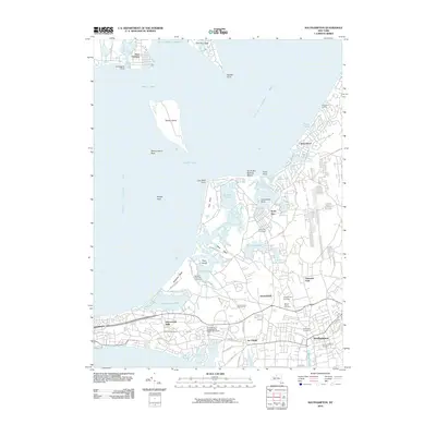
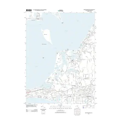
 2023 Southampton2023 Print · USGSThe South Fork of Long Island appears here in its modern form, showing the dense residential growth and historic village cores that define the Hamptons. Genealogists can locate several significant burial sites including Old Southampton Cem and the North Sea Burial Ground.
 - 2023 Map of Mattituck, 2023 Print
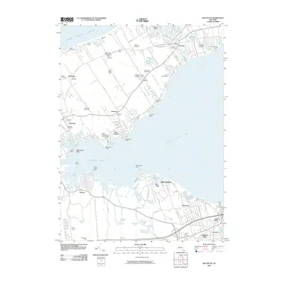
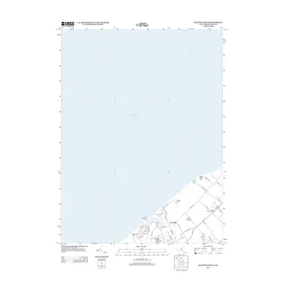
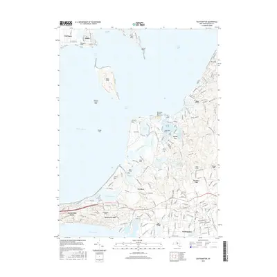
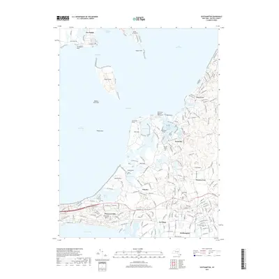
 2023 Mattituck2023 Print · USGSThe North Fork and Flanders Bay area is shown here during its modern era of coastal growth. Researchers can trace family history at Sound Avenue Cemetery or locate the historic waters of Marratooka Pond and Laurel Lake.
 - 2023 Map of Mattituck Hills, 2023 Print
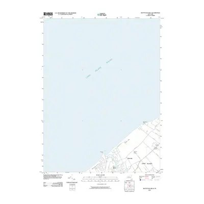
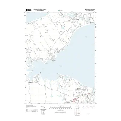
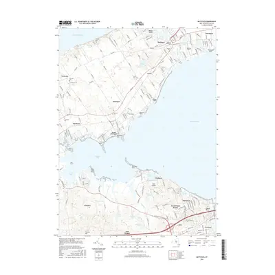
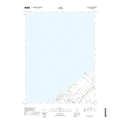
 2023 Mattituck Hills2023 Print · USGSThe North Fork of Long Island is documented here in the early twenty-first century, showing the rugged coastline from Mattituck Hills to Cutchogue. Researchers can trace the winding Mattituck Inlet and locate family-named landmarks like Oregon Hills and Shore Acres.
 - 2023 Map of Southold, 2023 Print
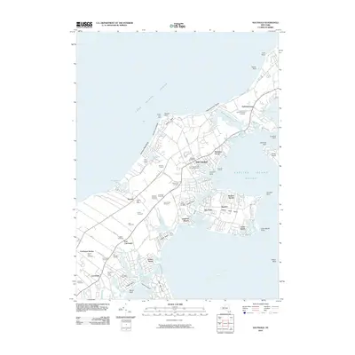
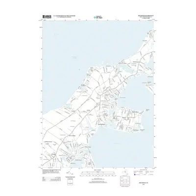
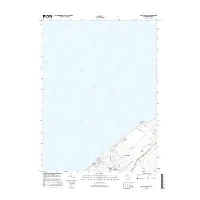
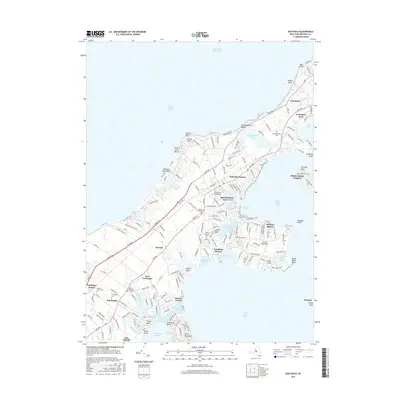
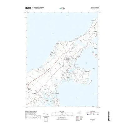
 2023 Southold2023 Print · USGSThe North Fork of Long Island thrives as a collection of historic maritime hamlets and vineyard-flecked landscapes. Genealogists can trace family names through the Old Burying Ground or locate the site of Cutchogue Station and Horton Point.
End of results
Showing maps 1-20 of 20
Top cities near Cutchogue
- Brookhaven historical maps
- Southampton historical maps
- Riverhead historical maps
- East Hampton historical maps
- Southold historical maps
- Hampton Bays historical maps
See more
Top neighborhoods of Cutchogue
- East Cutchogue historical maps
- Cutchogue Station historical maps
- Nassau Farms historical maps
- Nassau Point historical maps
Frequently asked questions
- What are the different types of historical maps available for Cutchogue?
- What is the oldest map of Cutchogue?
- Where can I purchase historical maps of Cutchogue for my home or office?
- Where can I download high-res historical maps of Cutchogue?
- Are there historical topographic maps available for Cutchogue?
- Is there historical aerial imagery available for Cutchogue?
- Where are historical maps of Cutchogue sourced from?