2000s (21st Century) Maps of East Marion, Southold
Explore 10 historic maps of East Marion from the 2000s (21st Century). These maps offer a rare glimpse into what life looked like during the 2000s — showing old roads, neighborhoods, homes, and landmarks that have changed or disappeared over time.
Whether you're researching your family's past, planning a metal detecting trip, or studying how East Marion's landscape evolved across the 2000s, these high-resolution maps are a powerful tool for exploring the history of this region.
- Focus on a specific era: All maps on this page are from the 2000s, giving you a focused view of this time period.
- See what’s changed: Compare century-old streets, trails, and buildings to today's modern landscape using overlays and satellite layers.
- Research with precision: Use these maps for genealogy, historical research, land use analysis, or educational projects.
- View, download, or print: Maps are fully viewable online in high resolution, and can be downloaded or printed for your own records.
Start exploring East Marion's history through authentic maps from the 2000s. This is your window into the past.
East Marion, Southold maps
(10)- 2010 Map of Greenport, 2010 Print
 2010 Greenport2010 Print · USGSCovers East Marion, including Southampton, East Hampton, and other nearby areas
 - 2010 Map of Orient, 2010 Print
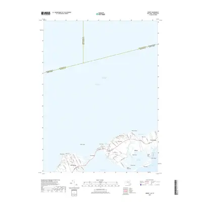
 2010 Orient2010 Print · USGSCovers East Marion, including Southold, Greenport West, and other nearby areas
 - 2013 Map of Greenport, 2013 Print
 2013 Greenport2013 Print · USGSCovers East Marion, including Southampton, East Hampton, and other nearby areas
 - 2013 Map of Orient, 2013 Print
 2013 Orient2013 Print · USGSCovers East Marion, including Southold, Greenport West, and other nearby areas
 - 2016 Map of Orient, 2016 Print
 2016 Orient2016 Print · USGSCovers East Marion, including Southold, Greenport West, and other nearby areas
 - 2016 Map of Greenport, 2016 Print
 2016 Greenport2016 Print · USGSCovers East Marion, including Southampton, East Hampton, and other nearby areas
 - 2019 Map of Orient, 2019 Print
 2019 Orient2019 Print · USGSCovers East Marion, including Southold, Greenport West, and other nearby areas
 - 2019 Map of Greenport, 2019 Print
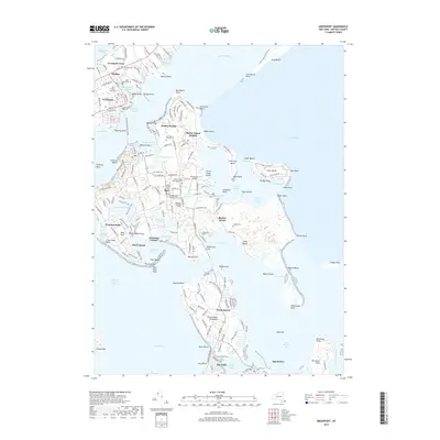 2019 Greenport2019 Print · USGSCovers East Marion, including Southampton, East Hampton, and other nearby areas
 - 2023 Map of Orient, 2023 Print
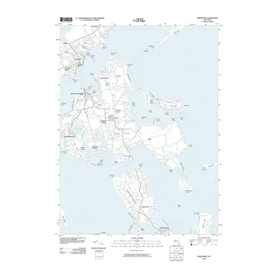
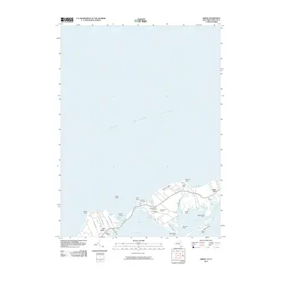
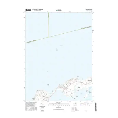
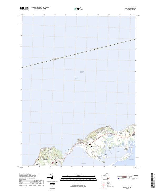 2023 Orient2023 Print · USGSModern-day Orient and East Marion appear here along the tip of Long Island's North Fork. Genealogists can trace family heritage through local landmarks like Terry Hill Cem, Orient Central Cem, and the historic waterfront around Orient Harbor.
 - 2023 Map of Greenport, 2023 Print
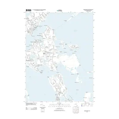
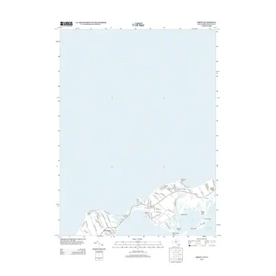
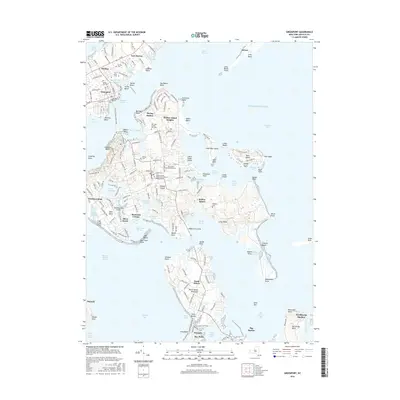
 2023 Greenport2023 Print · USGSThe maritime character of eastern Long Island is on full display here, showing the intricate relationship between Greenport and Shelter Island. Genealogists can trace family names through sites like Green Hill Cem and Saint Agnes Cem or explore the secluded reaches of Dering Harbor.
End of results
Showing maps 1-10 of 10
Top cities near East Marion
- Southampton historical maps
- Riverhead historical maps
- East Hampton historical maps
- New London historical maps
- Southold historical maps
- Waterford historical maps
See more
Frequently asked questions
- What are the different types of historical maps available for East Marion?
- What is the oldest map of East Marion?
- Where can I purchase historical maps of East Marion for my home or office?
- Where can I download high-res historical maps of East Marion?
- Are there historical topographic maps available for East Marion?
- Is there historical aerial imagery available for East Marion?
- Where are historical maps of East Marion sourced from?