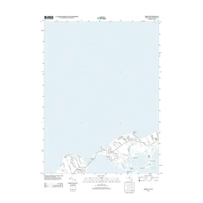
2013 Map of Orient
USGS Topo · Published 2013About this map
East Marion and Orient occupy the narrow, terminal reach of Long Island's North Fork, where the land fragments into a series of points and protected bays. This coastal geography is defined by maritime features like Narrow River and Long Beach Bay, which separate the mainland from the slender finger of Orient Beach. The map documents a deeply rooted community landscape, evidenced by numerous burial grounds including E Marion Cem, Terry Hill Cem, and the Orient Congregational Cem. Local landmarks such as Rose Field Airport and the residential clusters near Orient Point illustrate the modern layout of this historic maritime corridor. The terrain transitions from the elevations of Browns Hills to the low-lying shoreline of Truman Beach, showcasing the varied topography of the peninsula's tip before it meets the Atlantic Ocean.
Find a feature on this map
70 named features on this map. Tap any name to fly to it.
Don’t see what you’re looking for? This feature index may not catch every label — zoom into the map to look around manually.
Map Details
Editions of this 2013 Orient Map
This is the sole edition of this map. No revisions or reprints were ever made.
Other maps of this area

1892 · New London
USGS Topo · 1:62,500

1893 · New London
USGS Topo · 1:62,500

1893 · Saybrook
USGS Topo · 1:62,500

1903 · Gardiners Island
USGS Topo · 1:62,500

1904 · Shelter Island
USGS Topo · 1:62,500

1904 · Gardiners Island
USGS Topo · 1:62,500

1921 · Gardiners Island
USGS Topo · 1:62,500

1921 · New London
USGS Topo · 1:62,500

1934 · Niantic
USGS Topo · 1:24,000

1938 · Niantic
USGS Topo · 1:62,500