
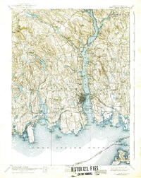
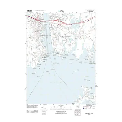
1892 Map of New London
USGS Topo · Published 1892About this map
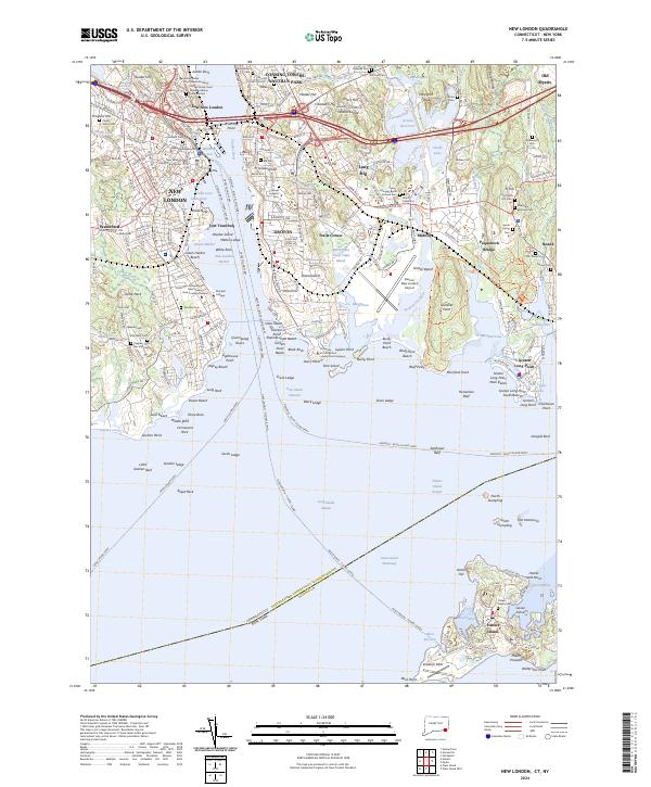
The Thames River serves as the central artery for this late nineteenth-century coastal landscape, dividing the busy maritime hubs of New London and Groton. At this time, the riverfront is a dense network of military and industrial activity, anchored by Ft Trumbull and the US Naval Station. The map illustrates a highly developed rail corridor, where the New York New Haven and Hartford Railroad meets the New London Northern Railroad, facilitating movement between the interior and the Sound. Beyond the urban centers, the terrain transitions into a series of hills and coves, including the Poquonoc Plains and the rural settlements of Montville and Waterford. Small coastal villages like Niantic and Jordan Village dot the shoreline, while numerous points and islands such as Groton Long Point and Two Tree Island define the intricate maritime boundary of Long Island Sound.
Find a feature on this map
115 named features on this map. Tap any name to fly to it.
Don’t see what you’re looking for? This feature index may not catch every label — zoom into the map to look around manually.
Map Details
Editions of this 1892 New London Map
This is the sole edition of this map. No revisions or reprints were ever made.
Historical Maps of Norwich Through Time
11 maps found
1892 New London
New London County, CT
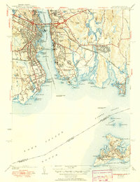
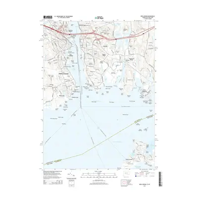
1893 New London
New London County, CT

1921 New London
New London County, CT
1938 New London
New London County, CT
1958 New London
New London County, CT
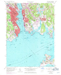
1984 New London
New London County, CT
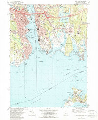
2012 New London
New London County, CT
2015 New London
New London County, CT
2018 New London
New London County, CT
2021 New London
New London County, CT
2024 New London
New London County, CT