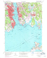
1958 Map of New London
USGS Topo · Published 1971About this map
New London and Groton face one another across the deep waters of the Thames River, serving as a critical maritime and military hub during the mid-20th century. The map highlights the significant federal and state presence in the area, from the U S Coast Guard Academy on the river's western bank to the Fort Griswold State Park overlooking the harbor. This period of the 1950s shows the coastal landscape just as the Conn. Turnpike and Gold Star Memorial Bridge began reshaping regional travel, while the Penn Central tracks still skirted the shoreline.
Find a feature on this map
147 named features on this map. Tap any name to fly to it.
Don’t see what you’re looking for? This feature index may not catch every label — zoom into the map to look around manually.
Map Details
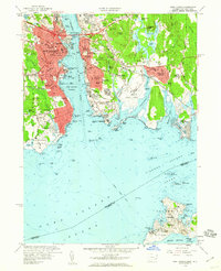
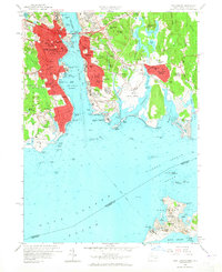
Editions of this 1958 New London Map
3 editions found
Other maps of this area

1889 · Stonington
USGS Topo · 1:62,500

1892 · New London
USGS Topo · 1:62,500

1893 · Stonington
USGS Topo · 1:62,500

1893 · New London
USGS Topo · 1:62,500

1903 · Gardiners Island
USGS Topo · 1:62,500

1904 · Gardiners Island
USGS Topo · 1:62,500

1904 · Montauk
USGS Topo · 1:62,500

1921 · Gardiners Island
USGS Topo · 1:62,500

1921 · New London
USGS Topo · 1:62,500

1921 · Stonington
USGS Topo · 1:62,500