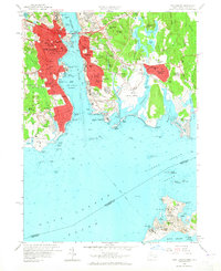
1958 Map of New London
USGS Topo · Published 1965About this map
The Thames River serves as the central artery for this maritime landscape, separating the industrial and residential core of New London from Groton to the east. By the late 1950s, the urban footprint had expanded significantly, connected by the Gold Star Memorial Bridge and several Ferry routes. The map reveals a dense network of civic and educational infrastructure, from the U S Coast Guard Academy in the north to Mitchell College near Greens Harbor.
Find a feature on this map
174 named features on this map. Tap any name to fly to it.
Don’t see what you’re looking for? This feature index may not catch every label — zoom into the map to look around manually.
Map Details
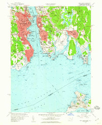
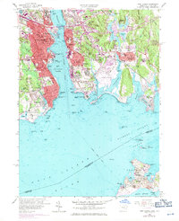
Editions of this 1958 New London Map
3 editions found
Other maps of this area

1889 · Stonington
USGS Topo · 1:62,500

1892 · New London
USGS Topo · 1:62,500

1893 · Stonington
USGS Topo · 1:62,500

1893 · New London
USGS Topo · 1:62,500

1903 · Gardiners Island
USGS Topo · 1:62,500

1904 · Gardiners Island
USGS Topo · 1:62,500

1904 · Montauk
USGS Topo · 1:62,500

1921 · Gardiners Island
USGS Topo · 1:62,500

1921 · New London
USGS Topo · 1:62,500

1921 · Stonington
USGS Topo · 1:62,500