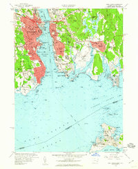
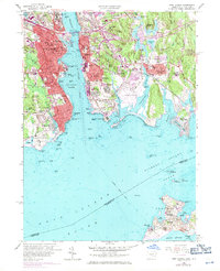
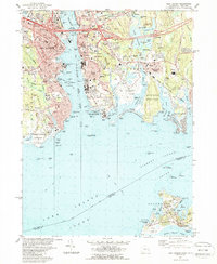
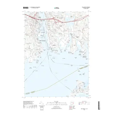
1958 Map of New London
USGS Topo · Published 1960About this map
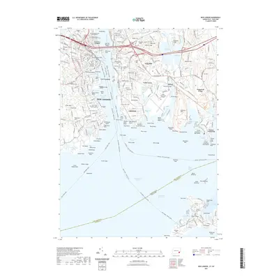
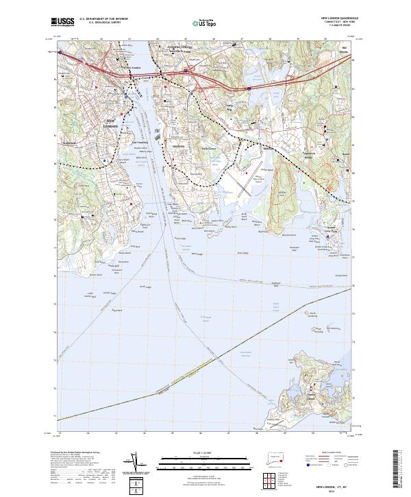
New London and Groton dominate this coastal landscape, separated by the deep waters of the Thames River. The city of New London is depicted as a dense urban core, home to significant institutions like the U S Coast Guard Academy and Mitchell College. Transit and military history are central to this map, with the New York New Haven and Hartford rail line terminating at Union Sta and the Gold Star Memorial Bridge carrying traffic eastward.
Find a feature on this map
142 named features on this map. Tap any name to fly to it.
Don’t see what you’re looking for? This feature index may not catch every label — zoom into the map to look around manually.
Map Details
Editions of this 1958 New London Map
3 editions found
Historical Maps of Groton Through Time
11 maps found

1892 New London
New London County, CT
1893 New London
New London County, CT

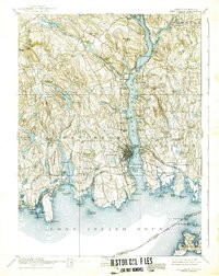
1921 New London
New London County, CT
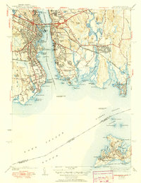
1938 New London
New London County, CT
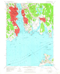
1958 New London
New London County, CT
1984 New London
New London County, CT
2012 New London
New London County, CT
2015 New London
New London County, CT
2018 New London
New London County, CT
2021 New London
New London County, CT
2024 New London
New London County, CT