
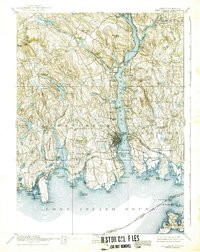
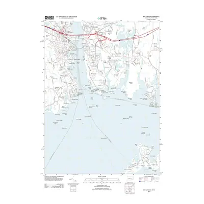
1921 Map of New London
USGS Topo · Published 1921About this map
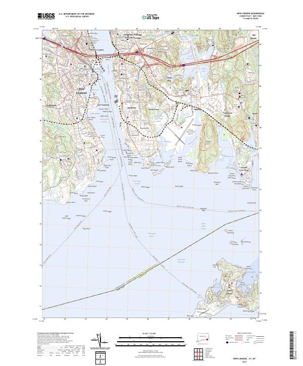
The Thames River serves as the central artery for this 1921 tactical survey, revealing a landscape defined by maritime industry and burgeoning coastal settlements. Significant military and institutional landmarks are prominent, including the US Naval Station and Ft. Trumbull, while the Norwich State Hospital sits at the northern reaches near Poquetanock Cove. This period shows the dominance of the New York New Haven and Hartford Railroad as it traces the shoreline, connecting coastal villages like Niantic and East Lyme to the regional hub of New London.
Find a feature on this map
104 named features on this map. Tap any name to fly to it.
Don’t see what you’re looking for? This feature index may not catch every label — zoom into the map to look around manually.
Map Details
Editions of this 1921 New London Map
This is the sole edition of this map. No revisions or reprints were ever made.
Historical Maps of Norwich Through Time
11 maps found

1892 New London
New London County, CT
1893 New London
New London County, CT
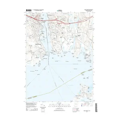
1921 New London
New London County, CT
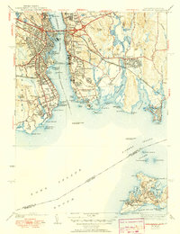
1938 New London
New London County, CT
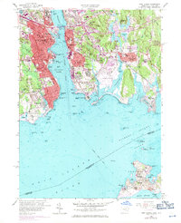
1958 New London
New London County, CT
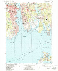
1984 New London
New London County, CT
2012 New London
New London County, CT
2015 New London
New London County, CT
2018 New London
New London County, CT
2021 New London
New London County, CT
2024 New London
New London County, CT