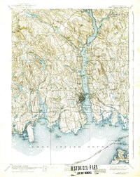
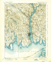
1893 Map of New London
USGS Topo · Published 1939About this map
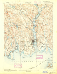
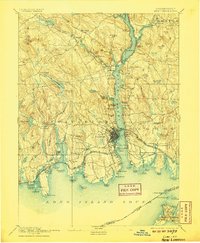
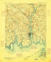
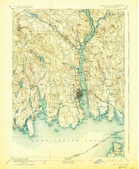
The Thames River serves as the central artery for this maritime and industrial landscape, separating the busy hubs of New London and Groton. At the end of the nineteenth century, the region was defined by its deep-water access and military significance, evidenced by the US Naval Station and the fortifications at Ft Trumbull. The coastline is a complex of points and coves, from Millstone Point to the summer residential character emerging at Groton Long Point.
Find a feature on this map
115 named features on this map. Tap any name to fly to it.
Don’t see what you’re looking for? This feature index may not catch every label — zoom into the map to look around manually.
Map Details
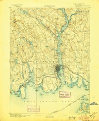
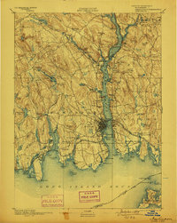
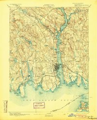
Editions of this 1893 New London Map
10 editions found
Other maps of this area

1889 · Stonington
USGS Topo · 1:62,500

1889 · Moosup
USGS Topo · 1:62,500

1892 · New London
USGS Topo · 1:62,500

1892 · Norwich
USGS Topo · 1:62,500

1892 · Gilead
USGS Topo · 1:62,500

1893 · Moosup
USGS Topo · 1:62,500

1893 · Stonington
USGS Topo · 1:62,500

1893 · New London
USGS Topo · 1:62,500

1893 · Saybrook
USGS Topo · 1:62,500

1903 · Gardiners Island
USGS Topo · 1:62,500