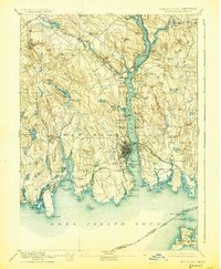
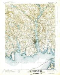
1893 Map of New London
USGS Topo · Published 1928About this map
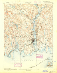
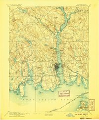
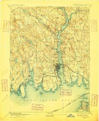
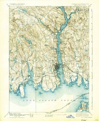
The maritime gateway of New London and the surrounding coastal reaches of eastern Connecticut are captured here during the final decade of the 19th century. This 1890 survey illustrates a region defined by its deep-water connections, with the Thames River serving as a central artery for transportation and industry. The industrial activity along the river is evidenced by the density of settlements like Montville and Uncasville, while the U.S. Naval Station north of Groton marks the area's strategic importance. Moving inland, the terrain transitions into a landscape of hills and small ponds, with rural hubs like Chesterfield and Flanders Village connected by a network of early roads. The map also details the intricate shoreline of Long Island Sound, from the mouth of the Niantic River past Ocean Beach to the far-flung reaches of Fishers Island across the state boundary line.
Find a feature on this map
111 named features on this map. Tap any name to fly to it.
Don’t see what you’re looking for? This feature index may not catch every label — zoom into the map to look around manually.
Map Details
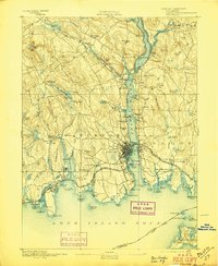
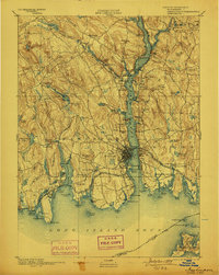
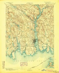
Editions of this 1893 New London Map
10 editions found
Other maps of this area

1889 · Stonington
USGS Topo · 1:62,500

1889 · Moosup
USGS Topo · 1:62,500

1892 · New London
USGS Topo · 1:62,500

1892 · Norwich
USGS Topo · 1:62,500

1892 · Gilead
USGS Topo · 1:62,500

1893 · Moosup
USGS Topo · 1:62,500

1893 · Stonington
USGS Topo · 1:62,500

1893 · New London
USGS Topo · 1:62,500

1893 · Saybrook
USGS Topo · 1:62,500

1903 · Gardiners Island
USGS Topo · 1:62,500