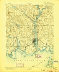
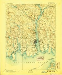
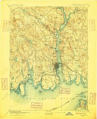
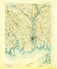
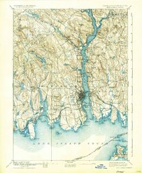
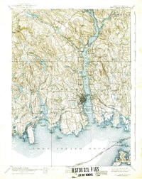
1893 Map of New London
USGS Topo · Published 1897About this map
New London serves as the focal point of this late 19th-century coastal survey, where the Thames River meets the Long Island Sound. The map captures a critical era of transit, showing the convergence of the Shore Line Division and the New York Providence and Boston Railroad at the waterfront. The maritime character of the region is evident in the detailed mapping of Greens Harbor and the U.S. Naval Station on the river’s eastern bank.
Find a feature on this map
120 named features on this map. Tap any name to fly to it.
Don’t see what you’re looking for? This feature index may not catch every label — zoom into the map to look around manually.
Map Details
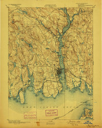
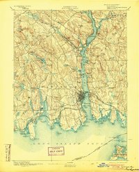
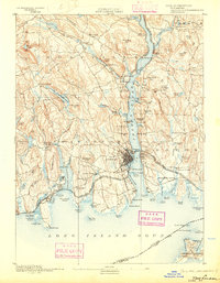
Editions of this 1893 New London Map
10 editions found
Other maps of this area

1889 · Stonington
USGS Topo · 1:62,500

1889 · Moosup
USGS Topo · 1:62,500

1892 · New London
USGS Topo · 1:62,500

1892 · Norwich
USGS Topo · 1:62,500

1892 · Gilead
USGS Topo · 1:62,500

1893 · Moosup
USGS Topo · 1:62,500

1893 · Stonington
USGS Topo · 1:62,500

1893 · New London
USGS Topo · 1:62,500

1893 · Saybrook
USGS Topo · 1:62,500

1903 · Gardiners Island
USGS Topo · 1:62,500