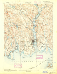
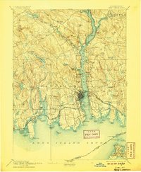
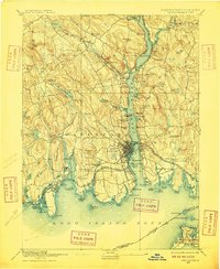
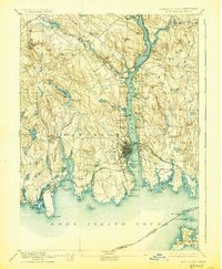
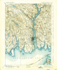
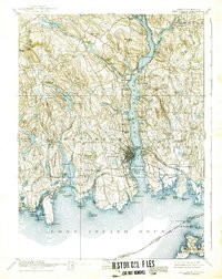
1893 Map of New London
USGS Topo · Published 1903About this map
The Thames River serves as the central artery for this 1890s survey, anchoring the maritime and industrial identity of New London and Groton. At the mouth of the river, Pt Trumbull and the U.S. Naval Station mark the strategic significance of the harbor. The landscape is a network of coastal settlements and inland hills, where the Norwich and Worcester Railroad and the Shore Line Division facilitated the movement of goods and people across the region. Small villages like Uncasville, Montville, and Flanders Village appear alongside numerous brooks and ponds, such as Oxoboxo Lake and Powers Lake, which likely powered local mills. To the east, the Poquonoc Plains and the Poquonoc Bridge area show a mix of marshy lowlands and rising terrain, including Fort Hill. This map captures the late 19th-century transition of the Connecticut coast as it balanced its deep-water naval traditions with an expanding rail-based economy.
Find a feature on this map
124 named features on this map. Tap any name to fly to it.
Don’t see what you’re looking for? This feature index may not catch every label — zoom into the map to look around manually.
Map Details
Editions of this 1893 New London Map
10 editions found
Other maps of this area

1889 · Stonington
USGS Topo · 1:62,500

1889 · Moosup
USGS Topo · 1:62,500

1892 · New London
USGS Topo · 1:62,500

1892 · Norwich
USGS Topo · 1:62,500

1892 · Gilead
USGS Topo · 1:62,500

1893 · Moosup
USGS Topo · 1:62,500

1893 · Stonington
USGS Topo · 1:62,500

1893 · New London
USGS Topo · 1:62,500

1893 · Saybrook
USGS Topo · 1:62,500

1903 · Gardiners Island
USGS Topo · 1:62,500