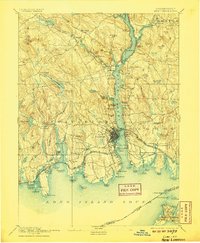
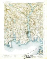
1893 Map of New London
USGS Topo · Published 1907About this map
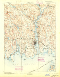
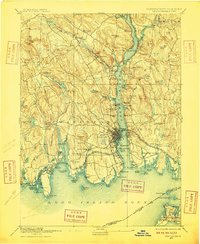
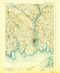
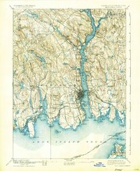
The Thames River serves as the central artery for this maritime region, anchoring the bustling port of New London and the adjacent town of Groton. At the end of the nineteenth century, the river's banks are lined with strategic and industrial landmarks, from the established Fort Trumbull to the US Naval Station. This period captures the height of the rail era in New England, with the New York New Haven and Hartford Railroad and the New London Northern Railroad converging to facilitate trade and travel along the Connecticut shoreline.
Find a feature on this map
129 named features on this map. Tap any name to fly to it.
Don’t see what you’re looking for? This feature index may not catch every label — zoom into the map to look around manually.
Map Details
Editions of this 1893 New London Map
10 editions found
Other maps of this area

1889 · Stonington
USGS Topo · 1:62,500

1889 · Moosup
USGS Topo · 1:62,500

1892 · New London
USGS Topo · 1:62,500

1892 · Norwich
USGS Topo · 1:62,500

1892 · Gilead
USGS Topo · 1:62,500

1893 · Moosup
USGS Topo · 1:62,500

1893 · Stonington
USGS Topo · 1:62,500

1893 · New London
USGS Topo · 1:62,500

1893 · Saybrook
USGS Topo · 1:62,500

1903 · Gardiners Island
USGS Topo · 1:62,500