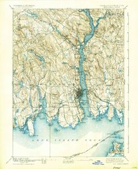
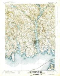
1893 Map of New London
USGS Topo · Published 1933About this map
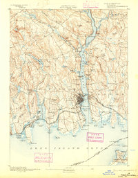
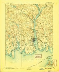
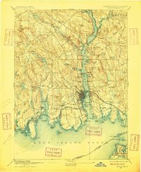
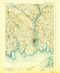
The Thames River serves as the central artery for this late 19th-century coastal landscape, where maritime industry and rail infrastructure converge at the busy port of New London. On the eastern bank, the early U.S. Naval Station occupies a strategic position south of Gales Ferry, while the New London Northern and Norwich and Worcester railroads track the river's path northward toward Montville.
Find a feature on this map
121 named features on this map. Tap any name to fly to it.
Don’t see what you’re looking for? This feature index may not catch every label — zoom into the map to look around manually.
Map Details
Editions of this 1893 New London Map
10 editions found
Other maps of this area

1889 · Stonington
USGS Topo · 1:62,500

1889 · Moosup
USGS Topo · 1:62,500

1892 · New London
USGS Topo · 1:62,500

1892 · Norwich
USGS Topo · 1:62,500

1892 · Gilead
USGS Topo · 1:62,500

1893 · Moosup
USGS Topo · 1:62,500

1893 · Stonington
USGS Topo · 1:62,500

1893 · New London
USGS Topo · 1:62,500

1893 · Saybrook
USGS Topo · 1:62,500

1903 · Gardiners Island
USGS Topo · 1:62,500