2000s (21st Century) Maps of Newark Valley, New York
Explore 25 historic maps of Newark Valley from the 2000s (21st Century). These maps offer a rare glimpse into what life looked like during the 2000s — showing old roads, neighborhoods, homes, and landmarks that have changed or disappeared over time.
Whether you're researching your family's past, planning a metal detecting trip, or studying how Newark Valley's landscape evolved across the 2000s, these high-resolution maps are a powerful tool for exploring the history of this region.
- Focus on a specific era: All maps on this page are from the 2000s, giving you a focused view of this time period.
- See what’s changed: Compare century-old streets, trails, and buildings to today's modern landscape using overlays and satellite layers.
- Research with precision: Use these maps for genealogy, historical research, land use analysis, or educational projects.
- View, download, or print: Maps are fully viewable online in high resolution, and can be downloaded or printed for your own records.
Start exploring Newark Valley's history through authentic maps from the 2000s. This is your window into the past.
Newark Valley, NY maps
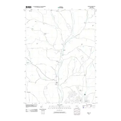
(25)- 2010 Map of Richford, 2010 Print
 2010 Richford2010 Print · USGSCovers Newark Valley, including Candor, Caroline, and other nearby areas
 - 2010 Map of Newark Valley, 2010 Print
 2010 Newark Valley2010 Print · USGSCovers Newark Valley, including Owego, Candor, and other nearby areas
 - 2010 Map of Candor, 2010 Print
 2010 Candor2010 Print · USGSCovers Newark Valley, including Owego, Candor, and other nearby areas
 - 2010 Map of Lisle, 2010 Print
 2010 Lisle2010 Print · USGSCovers Newark Valley, including Maine, Lisle, and other nearby areas
 - 2010 Map of Maine, 2010 Print
 2010 Maine2010 Print · USGSCovers Newark Valley, including Union, Owego, and other nearby areas
 - 2013 Map of Candor, 2013 Print
 2013 Candor2013 Print · USGSCovers Newark Valley, including Owego, Candor, and other nearby areas
 - 2013 Map of Maine, 2013 Print
 2013 Maine2013 Print · USGSCovers Newark Valley, including Union, Owego, and other nearby areas
 - 2013 Map of Richford, 2013 Print
 2013 Richford2013 Print · USGSCovers Newark Valley, including Candor, Caroline, and other nearby areas
 - 2013 Map of Newark Valley, 2013 Print
 2013 Newark Valley2013 Print · USGSCovers Newark Valley, including Owego, Candor, and other nearby areas
 - 2013 Map of Lisle, 2013 Print
 2013 Lisle2013 Print · USGSCovers Newark Valley, including Maine, Lisle, and other nearby areas
 - 2016 Map of Lisle, 2016 Print
 2016 Lisle2016 Print · USGSCovers Newark Valley, including Maine, Lisle, and other nearby areas
 - 2016 Map of Candor, 2016 Print
 2016 Candor2016 Print · USGSCovers Newark Valley, including Owego, Candor, and other nearby areas
 - 2016 Map of Newark Valley, 2016 Print
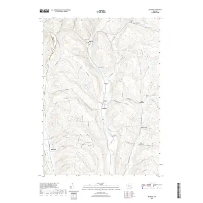
 2016 Newark Valley2016 Print · USGSCovers Newark Valley, including Owego, Candor, and other nearby areas
 - 2016 Map of Maine, 2016 Print
 2016 Maine2016 Print · USGSCovers Newark Valley, including Union, Owego, and other nearby areas
 - 2016 Map of Richford, 2016 Print
 2016 Richford2016 Print · USGSCovers Newark Valley, including Candor, Caroline, and other nearby areas
 - 2019 Map of Newark Valley, 2019 Print
 2019 Newark Valley2019 Print · USGSCovers Newark Valley, including Owego, Candor, and other nearby areas
 - 2019 Map of Maine, 2019 Print
 2019 Maine2019 Print · USGSCovers Newark Valley, including Union, Owego, and other nearby areas
 - 2019 Map of Candor, 2019 Print
 2019 Candor2019 Print · USGSCovers Newark Valley, including Owego, Candor, and other nearby areas
 - 2019 Map of Richford, 2019 Print
 2019 Richford2019 Print · USGSCovers Newark Valley, including Candor, Caroline, and other nearby areas
 - 2019 Map of Lisle, 2019 Print
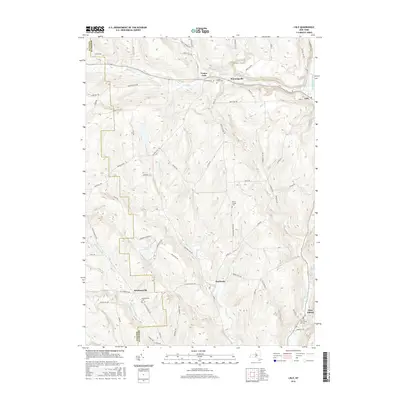
 2019 Lisle2019 Print · USGSCovers Newark Valley, including Maine, Lisle, and other nearby areas
 - 2023 Map of Lisle, 2023 Print
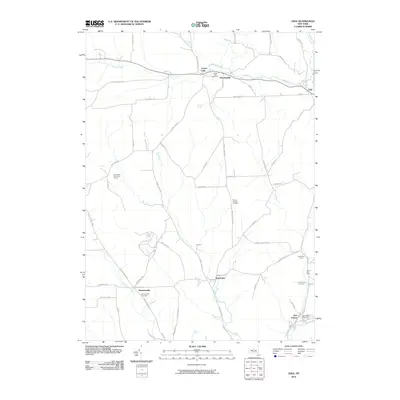
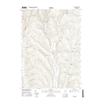
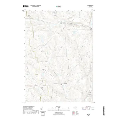
 2023 Lisle2023 Print · USGSBroome County and the Tioga borderlands appear here in the early twenty-first century, showing a landscape of rural hamlets and upland cemeteries. Researchers can trace family roots through hillside sites like Mount Hunger Cem and the settlement at Ketchumville.
 - 2023 Map of Maine, 2023 Print
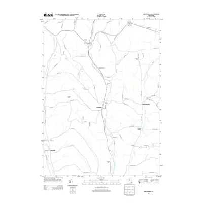
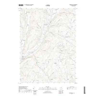
 2023 Maine2023 Print · USGSThe Nanticoke Creek valley comes into focus in this contemporary study of central New York's hill country. Genealogists and local researchers can trace family-named burial grounds like Chrysler Road Cem and Hollenbeck Cem alongside historic crossroads at Union Center and Whittemore.
 - 2023 Map of Richford, 2023 Print
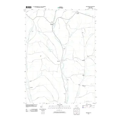
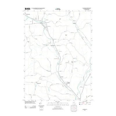
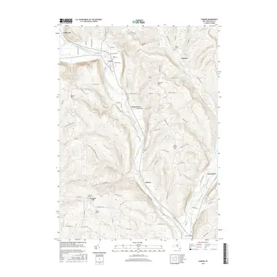
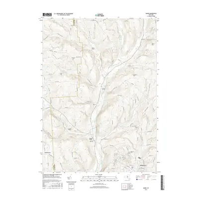
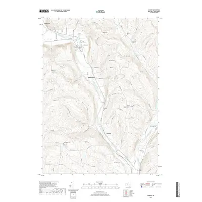
 2023 Richford2023 Print · USGSTioga County at the start of the 2020s reveals a rural landscape defined by deep creek valleys and family-named cemeteries. Genealogy researchers can trace local roots through Evergreen Cem, Brown's Settlement Cem, and the hamlet of Jenksville.
 - 2023 Map of Newark Valley, 2023 Print
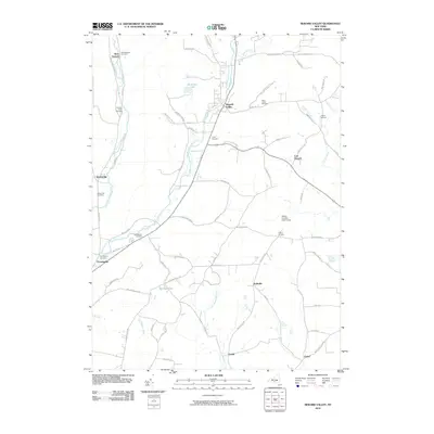
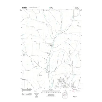
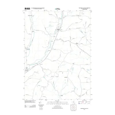
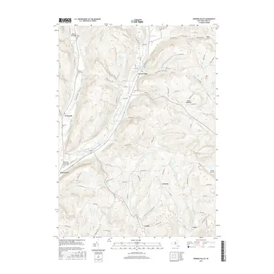
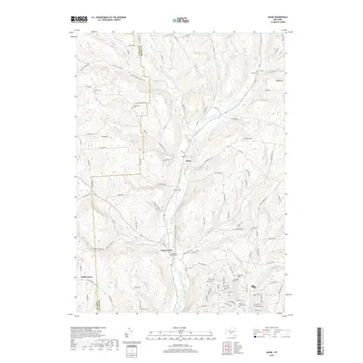
 2023 Newark Valley2023 Print · USGSTioga County's valley farms and upland ridges are captured in detail in the 2020s. Researchers can trace family history through numerous burial sites like Hope Cem, the waters of Alexander Lake, and the hamlet of Flemingville.
 - 2023 Map of Candor, 2023 Print
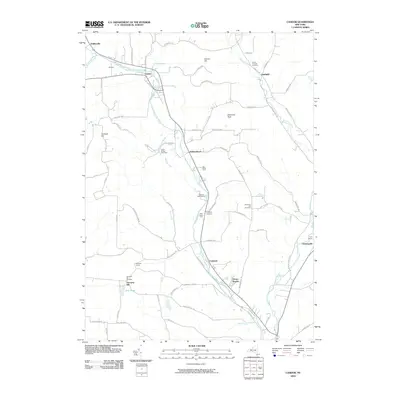
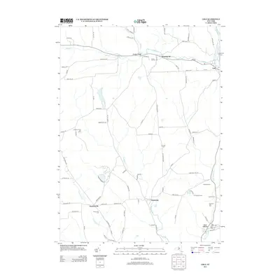
 2023 Candor2023 Print · USGSTioga County’s rural valleys and upland hamlets are captured in this recent survey of the southern Tier. Genealogists and local historians can trace family-named sites across the hills, from Maple Grove Cem to the settlement at Germany Hill.
End of results
Showing maps 1-25 of 25
Top cities near Newark Valley
- Union historical maps
- Binghamton historical maps
- Vestal historical maps
- Owego historical maps
- Johnson City historical maps
- Dryden historical maps
See more
Top neighborhoods of Newark Valley
- East Newark historical maps
- West Newark historical maps
- Jenksville historical maps
- New Connecticut historical maps
- Ketchumville historical maps
- Newark Valley historical maps
Frequently asked questions
- What are the different types of historical maps available for Newark Valley?
- What is the oldest map of Newark Valley?
- Where can I purchase historical maps of Newark Valley for my home or office?
- Where can I download high-res historical maps of Newark Valley?
- Are there historical topographic maps available for Newark Valley?
- Is there historical aerial imagery available for Newark Valley?
- Where are historical maps of Newark Valley sourced from?