Old Maps of Applegate Corner, Enfield
Explore 17 old maps of Applegate Corner, spanning from 1893 to today. These high-resolution historic maps reveal how streets, neighborhoods, landmarks, and natural features evolved over time — perfect for genealogy, metal detecting, research, and local history exploration.
What you can do with these maps:
- See how Applegate Corner changed over time: Compare historical maps to modern-day views to trace roads, homesites, rail lines & more.
- View detailed metadata: Each map includes creators, publishers, year, scale, and archive source.
- Overlay maps with satellite & LiDAR: Visualize the past alongside modern tools to explore terrain & human change.
- Trusted historical sources: Maps sourced from the USGS, Library of Congress, and other archives.
- Access maps your way: View online, download high-res files, or order prints for personal or research use.
Start exploring old maps of Applegate Corner to uncover forgotten places, hidden landmarks, and the deep history beneath your feet.
Applegate Corner, Enfield maps
(17)- 1893 Map of Ithaca, 1960 Print
 1893 Ithaca1960 Print · USGSThe Finger Lakes region at the end of the nineteenth century was a landscape of steep gorges and rail-connected hamlets. Genealogists and local historians can trace old property lines and rural crossroads from Ithaca to Trumbull Corner and the secluded Pony Hollow.
 - 1895 Map of Ithaca
 1895 Ithaca1895 Print · USGSThe Finger Lakes region at the end of the nineteenth century is defined by its dramatic lakefront topography and rural hamlets. Genealogists and historians can trace family locations across Ithaca, Newfield, and the high reaches of Connecticut Hill.13 unique versions available
 - 1905 Map of Watkins Glen
 1905 Watkins Glen1905 Print · USGSThe Finger Lakes and Southern Tier regions are captured at the start of the century, showing a landscape defined by deep glens and heavy rail. Genealogists and historians can trace the paths of the Northern Central RR through Watkins or locate family sites near Burdett and Horseheads.4 unique versions available
 - 1949 Map of Ithaca West, 1952 Print
 1949 Ithaca West1952 Print · USGSThe western shores of Cayuga Lake and the hills above Ithaca appear here just after the war, showing a landscape of deep glens and early aviation. Trace family roots at Quaker Settlement or explore the mid-century grounds of the I O O F Orphanage and Lucifer Falls.5 unique versions available
 - 1950 Map of Elmira
 1950 Elmira1950 Print · USGSThe Finger Lakes region thrived in the late 1940s as a hub of industry and transport. Trace family roots and vanished landmarks near Seneca Lake or explore the rail lines of the Erie RR and the sprawling Seneca Ordnance Depot.2 unique versions available
 - 1958 Map of Elmira
 1958 Elmira1958 Print · USGSThe New York Finger Lakes during the late fifties reveal a complex landscape of glacial geology and industrial growth. Researchers can trace historic transport corridors like the Erie Canal and Erie RR, or locate institutional landmarks like Cornell University.2 unique versions available
 - 1962 Map of Elmira, 1969 Print
 1962 Elmira1969 Print · USGSThe Finger Lakes region and Southern Tier are captured here during a period of industrial maturity and highway expansion. Researchers can trace the path of the Erie Canal, the footprint of the Seneca Army Depot, and legacy rail lines through Elmira and Ithaca.4 unique versions available
 - 1965 Map of Elmira
 1965 Elmira1965 Print · USGSThe Finger Lakes and Southern Tier regions are captured in the mid-sixties, showcasing a landscape of deep glacial valleys and heavy rail infrastructure. Trace old railroad corridors like the Pennsylvania RR or visit landmarks like Letchworth State Park and the Seneca Army Depot.
 - 1969 Map of Ithaca West, 1971 Print
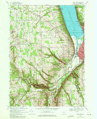 1969 Ithaca West1971 Print · USGSThe western reaches of Ithaca and the southern tip of Cayuga Lake are captured here in the late sixties. Researchers can trace family history through old sites like Quaker Ch, Inlet Valley Cem, and the many hamlets at Krum Corner and Duboise Corner.2 unique versions available
 - 1978 Map of Ithaca West, 1979 Print
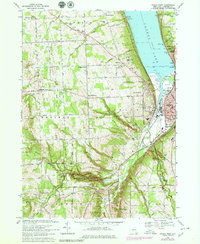 1978 Ithaca West1979 Print · USGSIthaca and the western shores of Cayuga Lake are shown here in the late seventies as the city edges toward rural upland corners. Researchers can locate family landmarks like Quaker Settlement, Hayt Corner, and several historic burying grounds such as Calvary Cem.
 - 1986 Map of Elmira
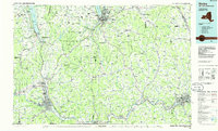 1986 Elmira1986 Print · USGSThe Southern Tier and Finger Lakes regions meet in this mid-eighties survey of the river valleys and high ridges. Genealogists can trace family names at Forest Lawn Memorial Park or locate homesteads near Breesport and Newark Valley.
 - 1992 Map of Elmira, 1993 Print
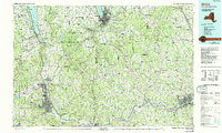 1992 Elmira1993 Print · USGSThe Finger Lakes and Southern Tier regions are captured in the early nineties as industrial hubs like Elmira and Endicott thrived alongside university life in Ithaca. Genealogists and researchers can trace the CONRAIL rail corridors, family hilltops such as Hornby Hill, and the extensive Newtown Battlefield Reservation.
 - 2010 Map of Ithaca West, 2010 Print
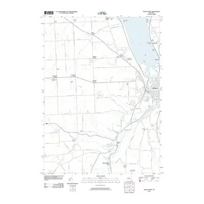 2010 Ithaca West2010 Print · USGSIthaca and its western rural uplands are shown in detail as they appeared in 2010. Researchers can trace numerous family and community sites, from the Independent Order of Odd Fellows Home to historic grounds like Quaker Cemetery and Budd Cemetery.
 - 2013 Map of Ithaca West, 2013 Print
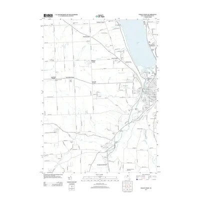 2013 Ithaca West2013 Print · USGSIthaca and its western uplands are shown in the early twenty-first century, as the city reaches toward the shores of Cayuga Lake. Genealogists and local historians can trace family locations through numerous sites like Rolfe Cem, Tompkins County Home, and Krum Corner.
 - 2016 Map of Ithaca West, 2016 Print
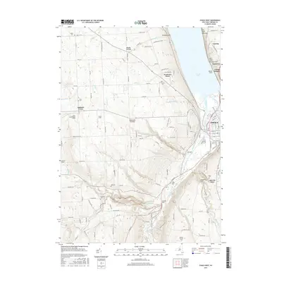 2016 Ithaca West2016 Print · USGSIthaca and its western uplands are shown in this recent survey, capturing the modern balance of Finger Lakes geography and city life. Genealogists can locate several historic burial sites like Quaker Cem and Calvary Cem or trace the winding Enfield Creek.
 - 2019 Map of Ithaca West, 2019 Print
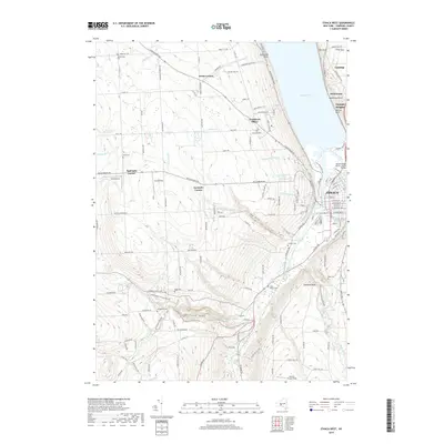 2019 Ithaca West2019 Print · USGSThe western outskirts of Ithaca and the shores of Cayuga Lake are captured here in the late 2010s. Researchers can trace land use at Robert H Treman State Park and find local landmarks like Krum Corner or Calvary Cem.
 - 2023 Map of Ithaca West, 2023 Print
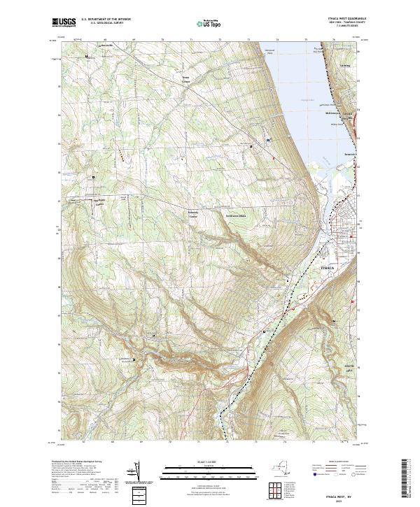 2023 Ithaca West2023 Print · USGSThe steep western hills of the Finger Lakes region are captured here in the early twenty-first century. Genealogists and historians can trace old family burial sites like Budd Cem and Rolfe Cem or explore the settlement patterns at Jacksonville and Applegate Corner.
End of results
Showing maps 1-17 of 17
Top cities near Applegate Corner
- Ithaca historical maps
- Ithaca historical maps
- Dryden historical maps
- Lansing historical maps
- Groton historical maps
- Candor historical maps
See more
Frequently asked questions
- What are the different types of historical maps available for Applegate Corner?
- What is the oldest map of Applegate Corner?
- Where can I purchase historical maps of Applegate Corner for my home or office?
- Where can I download high-res historical maps of Applegate Corner?
- Are there historical topographic maps available for Applegate Corner?
- Is there historical aerial imagery available for Applegate Corner?
- Where are historical maps of Applegate Corner sourced from?