2000s (21st Century) Maps of Groton, New York
Explore 10 historic maps of Groton from the 2000s (21st Century). These maps offer a rare glimpse into what life looked like during the 2000s — showing old roads, neighborhoods, homes, and landmarks that have changed or disappeared over time.
Whether you're researching your family's past, planning a metal detecting trip, or studying how Groton's landscape evolved across the 2000s, these high-resolution maps are a powerful tool for exploring the history of this region.
- Focus on a specific era: All maps on this page are from the 2000s, giving you a focused view of this time period.
- See what’s changed: Compare century-old streets, trails, and buildings to today's modern landscape using overlays and satellite layers.
- Research with precision: Use these maps for genealogy, historical research, land use analysis, or educational projects.
- View, download, or print: Maps are fully viewable online in high resolution, and can be downloaded or printed for your own records.
Start exploring Groton's history through authentic maps from the 2000s. This is your window into the past.
Groton, NY maps
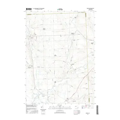
(10)- 2010 Map of Groton, 2010 Print
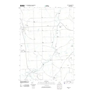 2010 Groton2010 Print · USGSCovers Groton, including Dryden, Cortlandville, and other nearby areas
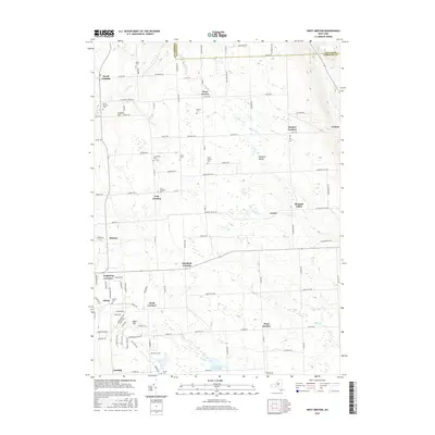
 - 2010 Map of West Groton, 2010 Print
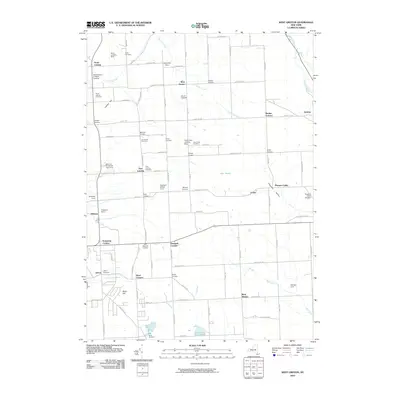 2010 West Groton2010 Print · USGSCovers Groton, including Dryden, Lansing, and other nearby areas
 - 2013 Map of Groton, 2013 Print
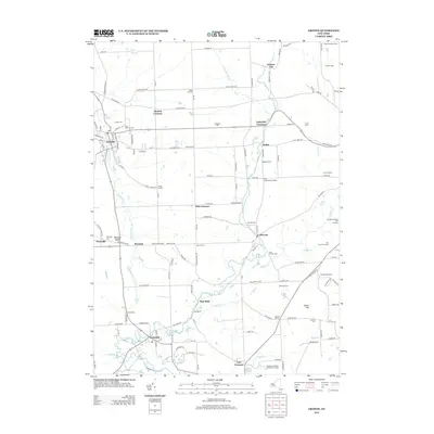 2013 Groton2013 Print · USGSCovers Groton, including Dryden, Cortlandville, and other nearby areas
 - 2013 Map of West Groton, 2013 Print
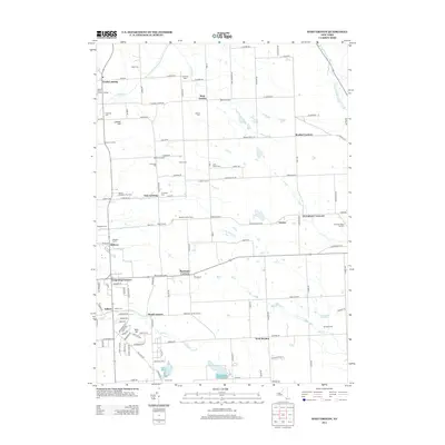 2013 West Groton2013 Print · USGSCovers Groton, including Dryden, Lansing, and other nearby areas
 - 2016 Map of West Groton, 2016 Print
 2016 West Groton2016 Print · USGSCovers Groton, including Dryden, Lansing, and other nearby areas
 - 2016 Map of Groton, 2016 Print
 2016 Groton2016 Print · USGSCovers Groton, including Dryden, Cortlandville, and other nearby areas
 - 2019 Map of West Groton, 2019 Print
 2019 West Groton2019 Print · USGSCovers Groton, including Dryden, Lansing, and other nearby areas
 - 2019 Map of Groton, 2019 Print
 2019 Groton2019 Print · USGSCovers Groton, including Dryden, Cortlandville, and other nearby areas
 - 2023 Map of West Groton, 2023 Print
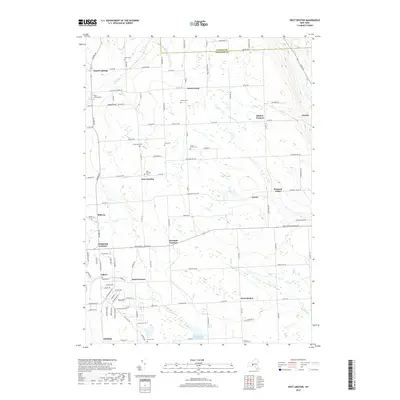
 2023 West Groton2023 Print · USGSThe rural crossroads of Tompkins County are captured here during the 2020s. Genealogists can trace family landmarks and burial sites like Stearns Cem, Asbury Cem, and the old hamlets of Grotto and North Lansing.
 - 2023 Map of Groton, 2023 Print
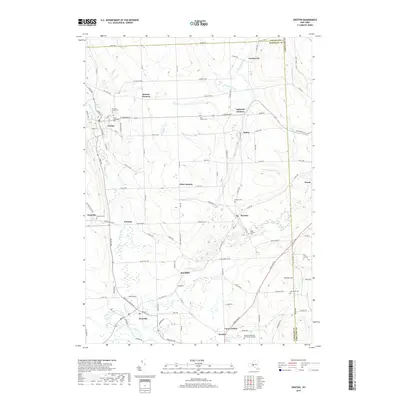
 2023 Groton2023 Print · USGSThe Finger Lakes uplands come into focus in this recent survey of the hamlets and waterways north of Ithaca. Genealogists and historians can trace local family landmarks at Groton Rural Cem, McLean Cem, and the historic industrial site at Red Mills.
End of results
Showing maps 1-10 of 10
Top cities near Groton
- Ithaca historical maps
- Ithaca historical maps
- Cortland historical maps
- Dryden historical maps
- Lansing historical maps
- Cortlandville historical maps
See more
Top neighborhoods of Groton
- Mosher Corners historical maps
- Pleasant Valley historical maps
- Groton City historical maps
- Lafayette Corners historical maps
- Nubia historical maps
- Peruton historical maps
See more
Frequently asked questions
- What are the different types of historical maps available for Groton?
- What is the oldest map of Groton?
- Where can I purchase historical maps of Groton for my home or office?
- Where can I download high-res historical maps of Groton?
- Are there historical topographic maps available for Groton?
- Is there historical aerial imagery available for Groton?
- Where are historical maps of Groton sourced from?