2000s (21st Century) Maps of Plattekill, New York
Explore 20 historic maps of Plattekill from the 2000s (21st Century). These maps offer a rare glimpse into what life looked like during the 2000s — showing old roads, neighborhoods, homes, and landmarks that have changed or disappeared over time.
Whether you're researching your family's past, planning a metal detecting trip, or studying how Plattekill's landscape evolved across the 2000s, these high-resolution maps are a powerful tool for exploring the history of this region.
- Focus on a specific era: All maps on this page are from the 2000s, giving you a focused view of this time period.
- See what’s changed: Compare century-old streets, trails, and buildings to today's modern landscape using overlays and satellite layers.
- Research with precision: Use these maps for genealogy, historical research, land use analysis, or educational projects.
- View, download, or print: Maps are fully viewable online in high resolution, and can be downloaded or printed for your own records.
Start exploring Plattekill's history through authentic maps from the 2000s. This is your window into the past.
Plattekill, NY maps
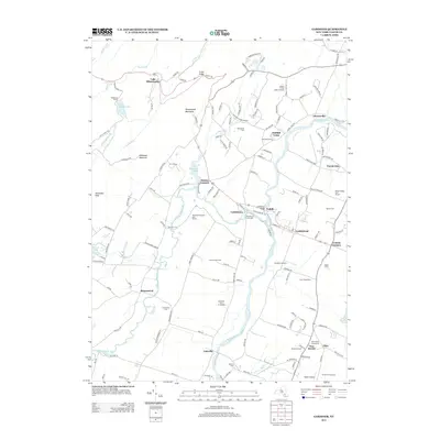
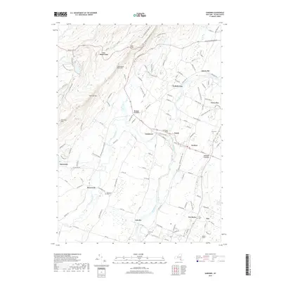
(20)- 2010 Map of Gardiner, 2010 Print
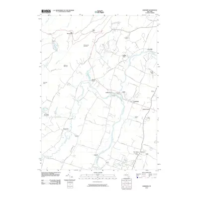 2010 Gardiner2010 Print · USGSCovers Plattekill, including New Paltz, Shawangunk, and other nearby areas
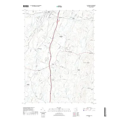
 - 2010 Map of Clintondale, 2010 Print
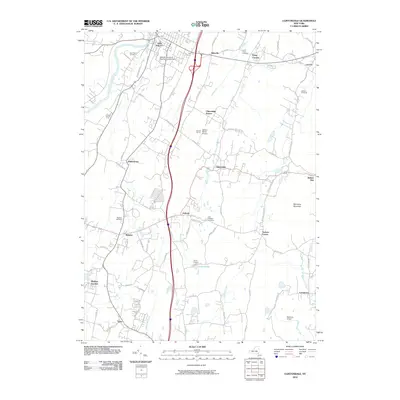 2010 Clintondale2010 Print · USGSCovers Plattekill, including New Paltz, Shawangunk, and other nearby areas
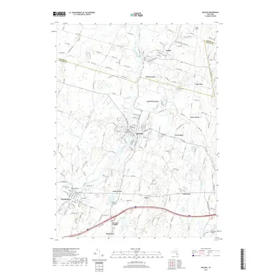
 - 2010 Map of Walden, 2010 Print
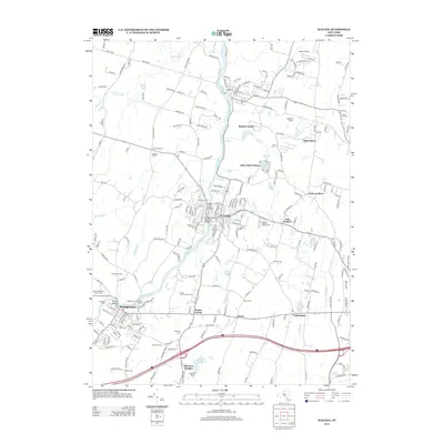
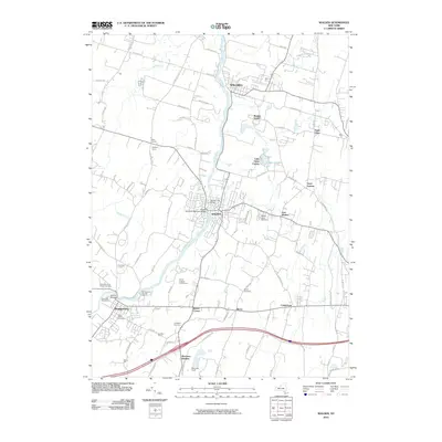 2010 Walden2010 Print · USGSCovers Plattekill, including Newburgh, New Windsor, and other nearby areas
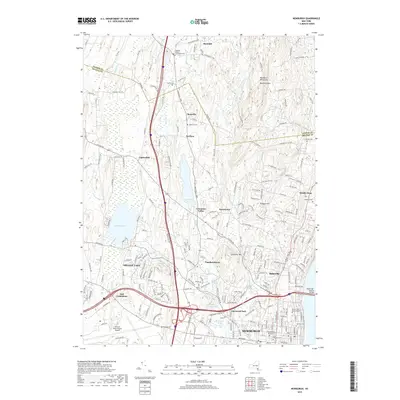
 - 2010 Map of Newburgh, 2010 Print
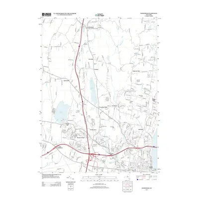
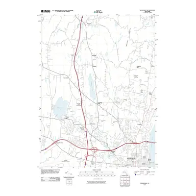 2010 Newburgh2010 Print · USGSCovers Plattekill, including Newburgh, Newburgh, and other nearby areas
 - 2013 Map of Gardiner, 2013 Print
 2013 Gardiner2013 Print · USGSCovers Plattekill, including New Paltz, Shawangunk, and other nearby areas
 - 2013 Map of Walden, 2013 Print
 2013 Walden2013 Print · USGSCovers Plattekill, including Newburgh, New Windsor, and other nearby areas
 - 2013 Map of Newburgh, 2013 Print
 2013 Newburgh2013 Print · USGSCovers Plattekill, including Newburgh, Newburgh, and other nearby areas
 - 2013 Map of Clintondale, 2013 Print
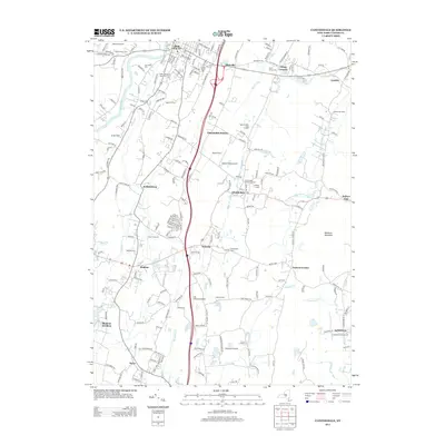 2013 Clintondale2013 Print · USGSCovers Plattekill, including New Paltz, Shawangunk, and other nearby areas
 - 2016 Map of Gardiner, 2016 Print
 2016 Gardiner2016 Print · USGSCovers Plattekill, including New Paltz, Shawangunk, and other nearby areas
 - 2016 Map of Walden, 2016 Print
 2016 Walden2016 Print · USGSCovers Plattekill, including Newburgh, New Windsor, and other nearby areas
 - 2016 Map of Newburgh, 2016 Print
 2016 Newburgh2016 Print · USGSCovers Plattekill, including Newburgh, Newburgh, and other nearby areas
 - 2016 Map of Clintondale, 2016 Print
 2016 Clintondale2016 Print · USGSCovers Plattekill, including New Paltz, Shawangunk, and other nearby areas
 - 2019 Map of Gardiner, 2019 Print
 2019 Gardiner2019 Print · USGSCovers Plattekill, including New Paltz, Shawangunk, and other nearby areas
 - 2019 Map of Clintondale, 2019 Print
 2019 Clintondale2019 Print · USGSCovers Plattekill, including New Paltz, Shawangunk, and other nearby areas
 - 2019 Map of Walden, 2019 Print
 2019 Walden2019 Print · USGSCovers Plattekill, including Newburgh, New Windsor, and other nearby areas
 - 2019 Map of Newburgh, 2019 Print
 2019 Newburgh2019 Print · USGSCovers Plattekill, including Newburgh, Newburgh, and other nearby areas
 - 2023 Map of Gardiner, 2023 Print
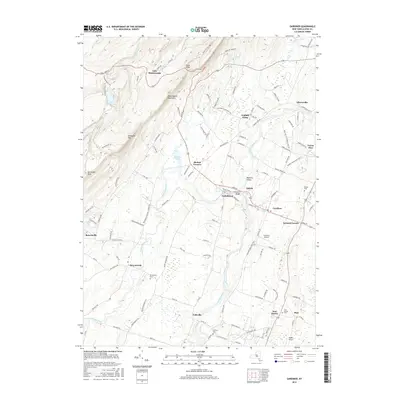
 2023 Gardiner2023 Print · USGSThe Shawangunk Mountains and the Wallkill River valley define this section of Ulster County in the early twenty-first century. Researchers can trace historic burial sites like Bruynswick Rural Cem and follow the critical paths of the Catskill Aqueduct and Delaware Aqueduct.
 - 2023 Map of Clintondale, 2023 Print
 2023 Clintondale2023 Print · USGSCovers Plattekill, including New Paltz, Shawangunk, and other nearby areas
 - 2023 Map of Walden, 2023 Print
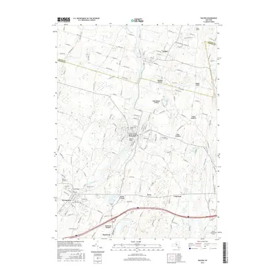
 2023 Walden2023 Print · USGSThe Wallkill Valley at the Ulster and Orange County border is captured here in recent detail. Genealogists can locate several historic burial sites, including Old Brick Church Cem and Berea Cem, alongside the Borden Estate.
 - 2023 Map of Newburgh, 2023 Print
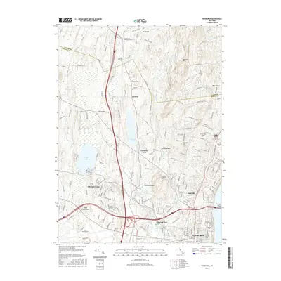
 2023 Newburgh2023 Print · USGSOrange County and southern Ulster County are captured here in a contemporary era of suburban growth and institutional expansion. Researchers can trace historical lineage through the Rossville Cem and Friends Cem or locate modern landmarks like Stewart International Airport.
End of results
Showing maps 1-20 of 20
Top cities near Plattekill
- Poughkeepsie historical maps
- Newburgh historical maps
- Poughkeepsie historical maps
- Wallkill historical maps
- East Fishkill historical maps
- Newburgh historical maps
See more
Top neighborhoods of Plattekill
- Sylva historical maps
- Modena historical maps
- Modena Gardens historical maps
- Tuckers Corner historical maps
- Flint historical maps
- Ardonia historical maps
See more
Frequently asked questions
- What are the different types of historical maps available for Plattekill?
- What is the oldest map of Plattekill?
- Where can I purchase historical maps of Plattekill for my home or office?
- Where can I download high-res historical maps of Plattekill?
- Are there historical topographic maps available for Plattekill?
- Is there historical aerial imagery available for Plattekill?
- Where are historical maps of Plattekill sourced from?