Old Maps of Daisy, Woodstock
Explore 17 old maps of Daisy, spanning from 1892 to today. These high-resolution historic maps reveal how streets, neighborhoods, landmarks, and natural features evolved over time — perfect for genealogy, metal detecting, research, and local history exploration.
What you can do with these maps:
- See how Daisy changed over time: Compare historical maps to modern-day views to trace roads, homesites, rail lines & more.
- View detailed metadata: Each map includes creators, publishers, year, scale, and archive source.
- Overlay maps with satellite & LiDAR: Visualize the past alongside modern tools to explore terrain & human change.
- Trusted historical sources: Maps sourced from the USGS, Library of Congress, and other archives.
- Access maps your way: View online, download high-res files, or order prints for personal or research use.
Start exploring old maps of Daisy to uncover forgotten places, hidden landmarks, and the deep history beneath your feet.
Daisy, Woodstock maps
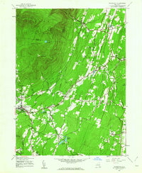
(17)- 1892 Map of Kaaterskill, 1957 Print
 1892 Kaaterskill1957 Print · USGSThe high Catskills of the 1890s reveal a landscape of grand hotels and rugged peaks during the peak of the mountain resort era. Genealogists and historians can trace the foundations of Onteora Park, the route of the Elevating R. R., and lost hamlets like Dutch Settlement.3 unique versions available
 - 1893 Map of Kaaterskill
 1893 Kaaterskill1893 Print · USGSThe high peaks and resort colonies of the late nineteenth century are mapped here in exceptional detail. Genealogists and rail historians can trace the paths of the Otis Elevating R R and the Catskill Mtn R R or locate old sites like Dutch Settlement and Mountain House.
 - 1894 Map of Kaaterskill
 1894 Kaaterskill1894 Print · USGSThe Catskills come alive in the 1890s as a premier destination for mountain tourism and timber. You can trace the early rail lines serving the Mountain House, locate the Victorian-era enclaves of Onteora Park and Twilight Park, or find family roots in Yankeetown.
 - 1899 Map of Kaaterskill
 1899 Kaaterskill1899 Print · USGSThe Catskills in the late nineteenth century show a unique landscape of mountain tourism and rail infrastructure. Trace the early hotel era through the Mountain House, the Otis Elevating Ry., and the high-elevation hamlets of Tannersville and Onteora Park.2 unique versions available
 - 1903 Map of Kaaterskill, 1906 Print
 1903 Kaaterskill1906 Print · USGSThe Catskills come alive in the early twentieth century through this record of mountain resorts and steep-grade rail lines. Researchers can trace the legendary Mountain House, the Otis Elevating R.R., and the remote Dutch Settlement.10 unique versions available
 - 1945 Map of Woodstock, 1963 Print
 1945 Woodstock1963 Print · USGSUlster County's mountainous borderlands come into focus at the end of the Second World War as the region's rural character remains largely intact. Genealogists and hikers can trace old property lines and landmarks from West Saugerties to Overlook Mountain, including several legacy schoolhouses like School No 15.4 unique versions available
 - 1946 Map of Plattekill
 1946 Plattekill1946 Print · USGSMid-century Ulster County unfolds from the high peaks of the Catskills down to the reservoir systems of the lower valleys. Genealogists and researchers can trace local school districts like School No 14 and long-standing cemeteries such as Chestnut Hill Rural Cem.
 - 1948 Map of Binghamton, 1980 Print
 1948 Binghamton1980 Print · USGSCentral New York and the Southern Tier thrive in the late 1940s as a hub of rail traffic and mountain industry. Researchers can trace historic transit lines like the Erie Railroad through Binghamton or find old valley settlements near Oneonta and Delhi.
 - 1950 Map of Binghamton
 1950 Binghamton1950 Print · USGSBinghamton and the surrounding Southern Tier are shown in the mid-century era, highlighting the intricate rail and river networks that drove local industry. Researchers can trace the path of the Erie Railroad and locate landmarks from Otsego Lake to Sidney Mountain.2 unique versions available
 - 1958 Map of Binghamton
 1958 Binghamton1958 Print · USGSCentral New York in the late fifties was a network of manufacturing cities and river valleys connected by vital rail lines. Genealogists and historians can trace family roots in Oneonta, Norwich, and Cooperstown or locate long-standing farms along Schoharie Creek.
 - 1963 Map of Binghamton
 1963 Binghamton1963 Print · USGSThe Southern Tier and Catskill peaks are shown in the early sixties as new reservoirs reshaped the valleys. Trace historic rail corridors like the Erie Lackawanna RR and explore lakeside settlements such as Cooperstown and Oneonta.
 - 1986 Map of Pepacton Reservoir
 1986 Pepacton Reservoir1986 Print · USGSThe Catskills in the mid-eighties show a landscape shaped by the Pepacton Reservoir and protected wilderness. Local historians can trace mountain rail corridors like the Delaware & Ulster RR and locate high-elevation landmarks from Slide Mountain to Hunter Mountain.2 unique versions available
 - 2010 Map of Woodstock, 2010 Print
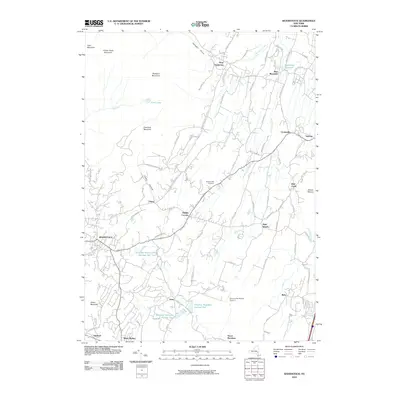 2010 Woodstock2010 Print · USGSCovers Daisy, including Saugerties, Ulster, and other nearby areas
 - 2013 Map of Woodstock, 2013 Print
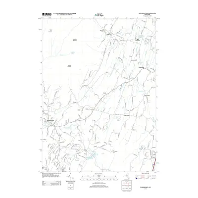 2013 Woodstock2013 Print · USGSCovers Daisy, including Saugerties, Ulster, and other nearby areas
 - 2016 Map of Woodstock, 2016 Print
 2016 Woodstock2016 Print · USGSCovers Daisy, including Saugerties, Ulster, and other nearby areas
 - 2019 Map of Woodstock, 2019 Print
 2019 Woodstock2019 Print · USGSCovers Daisy, including Saugerties, Ulster, and other nearby areas
 - 2023 Map of Woodstock, 2023 Print
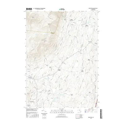
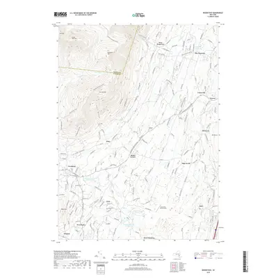
 2023 Woodstock2023 Print · USGSWoodstock and the surrounding Catskill slopes are shown here in recent detail, illustrating the region's managed water systems and mountain terrain. Trace local landmarks like Chestnut Hill Cem, the Saugerties Reservoir, and the Strip In The Woods Airport.
End of results
Showing maps 1-17 of 17
Top cities near Daisy
- Kingston historical maps
- Hyde Park historical maps
- Saugerties historical maps
- Wawarsing historical maps
- Ulster historical maps
- Catskill historical maps
See more
Frequently asked questions
- What are the different types of historical maps available for Daisy?
- What is the oldest map of Daisy?
- Where can I purchase historical maps of Daisy for my home or office?
- Where can I download high-res historical maps of Daisy?
- Are there historical topographic maps available for Daisy?
- Is there historical aerial imagery available for Daisy?
- Where are historical maps of Daisy sourced from?