2000s (21st Century) Maps of Hampton, New York
Explore 25 historic maps of Hampton from the 2000s (21st Century). These maps offer a rare glimpse into what life looked like during the 2000s — showing old roads, neighborhoods, homes, and landmarks that have changed or disappeared over time.
Whether you're researching your family's past, planning a metal detecting trip, or studying how Hampton's landscape evolved across the 2000s, these high-resolution maps are a powerful tool for exploring the history of this region.
- Focus on a specific era: All maps on this page are from the 2000s, giving you a focused view of this time period.
- See what’s changed: Compare century-old streets, trails, and buildings to today's modern landscape using overlays and satellite layers.
- Research with precision: Use these maps for genealogy, historical research, land use analysis, or educational projects.
- View, download, or print: Maps are fully viewable online in high resolution, and can be downloaded or printed for your own records.
Start exploring Hampton's history through authentic maps from the 2000s. This is your window into the past.
Hampton, NY maps
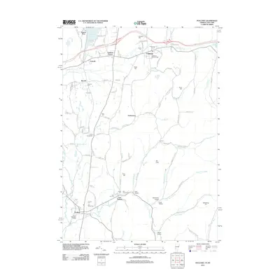
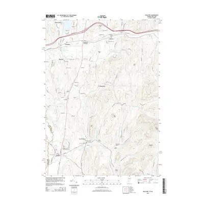
(25)- 2012 Map of Thorn Hill, 2012 Print
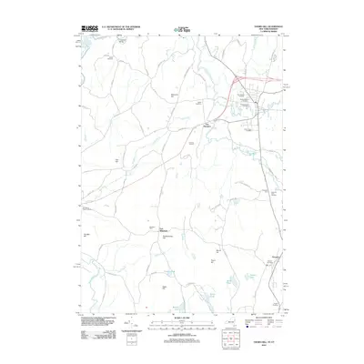 2012 Thorn Hill2012 Print · USGSCovers Hampton, including Whitehall, Fair Haven, and other nearby areas
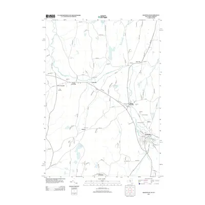
 - 2012 Map of Granville, 2012 Print
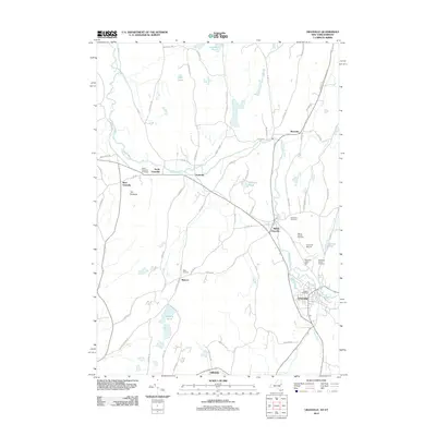 2012 Granville2012 Print · USGSCovers Hampton, including Granville, Fort Ann, and other nearby areas
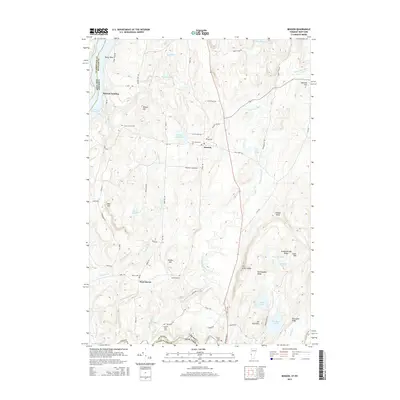
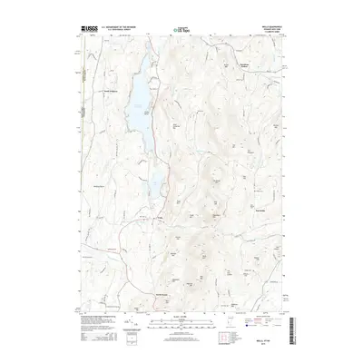
 - 2012 Map of Wells, 2012 Print
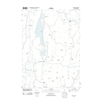 2012 Wells2012 Print · USGSCovers Hampton, including Granville, Poultney, and other nearby areas
 - 2012 Map of Benson, 2012 Print
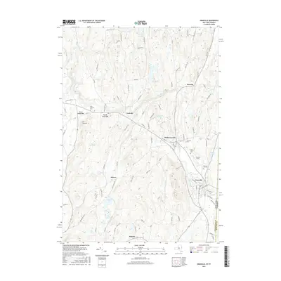
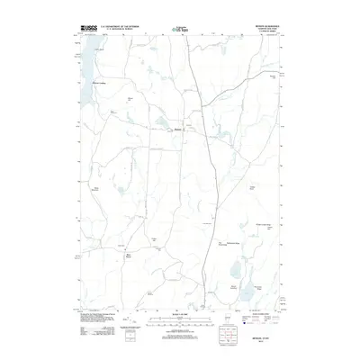 2012 Benson2012 Print · USGSCovers Hampton, including Whitehall, Fair Haven, and other nearby areas
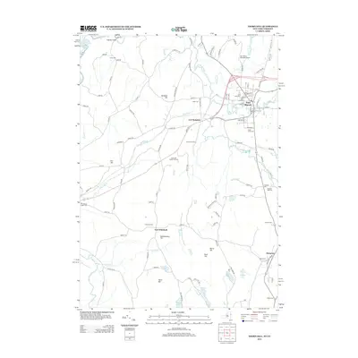
 - 2012 Map of Poultney, 2012 Print
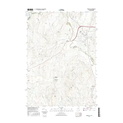
 2012 Poultney2012 Print · USGSCovers Hampton, including Poultney, Poultney Village, and other nearby areas
 - 2013 Map of Granville, 2013 Print
 2013 Granville2013 Print · USGSCovers Hampton, including Granville, Fort Ann, and other nearby areas
 - 2013 Map of Thorn Hill, 2013 Print
 2013 Thorn Hill2013 Print · USGSCovers Hampton, including Whitehall, Fair Haven, and other nearby areas
 - 2015 Map of Benson, 2015 Print
 2015 Benson2015 Print · USGSCovers Hampton, including Whitehall, Fair Haven, and other nearby areas
 - 2015 Map of Wells, 2015 Print
 2015 Wells2015 Print · USGSCovers Hampton, including Granville, Poultney, and other nearby areas
 - 2015 Map of Poultney, 2015 Print
 2015 Poultney2015 Print · USGSCovers Hampton, including Poultney, Poultney Village, and other nearby areas
 - 2016 Map of Granville, 2016 Print
 2016 Granville2016 Print · USGSCovers Hampton, including Granville, Fort Ann, and other nearby areas
 - 2016 Map of Thorn Hill, 2016 Print
 2016 Thorn Hill2016 Print · USGSCovers Hampton, including Whitehall, Fair Haven, and other nearby areas
 - 2018 Map of Poultney, 2018 Print
 2018 Poultney2018 Print · USGSCovers Hampton, including Poultney, Poultney Village, and other nearby areas
 - 2018 Map of Benson, 2018 Print
 2018 Benson2018 Print · USGSCovers Hampton, including Whitehall, Fair Haven, and other nearby areas
 - 2018 Map of Wells, 2018 Print
 2018 Wells2018 Print · USGSCovers Hampton, including Granville, Poultney, and other nearby areas
 - 2019 Map of Granville, 2019 Print
 2019 Granville2019 Print · USGSCovers Hampton, including Granville, Fort Ann, and other nearby areas
 - 2019 Map of Thorn Hill, 2019 Print
 2019 Thorn Hill2019 Print · USGSCovers Hampton, including Whitehall, Fair Haven, and other nearby areas
 - 2021 Map of Poultney, 2021 Print
 2021 Poultney2021 Print · USGSCovers Hampton, including Poultney, Poultney Village, and other nearby areas
 - 2021 Map of Wells, 2021 Print
 2021 Wells2021 Print · USGSCovers Hampton, including Granville, Poultney, and other nearby areas
 - 2021 Map of Benson, 2021 Print
 2021 Benson2021 Print · USGSCovers Hampton, including Whitehall, Fair Haven, and other nearby areas
 - 2023 Map of Thorn Hill, 2023 Print
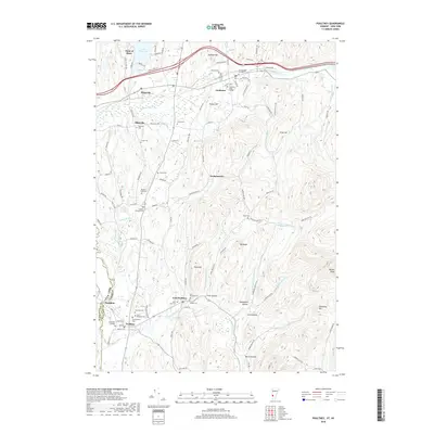
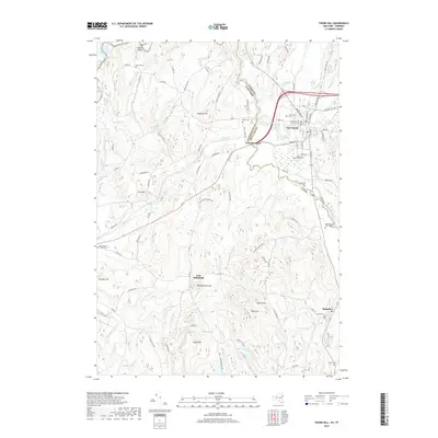
 2023 Thorn Hill2023 Print · USGSThe borderlands of New York and Vermont come alive in this detailed look at the rural landscape during the early twenty-first century. Genealogists can trace family names through numerous burial sites like Sciota Cem, Miller Cem, and the historic clusters in Fair Haven.
 - 2023 Map of Granville, 2023 Print
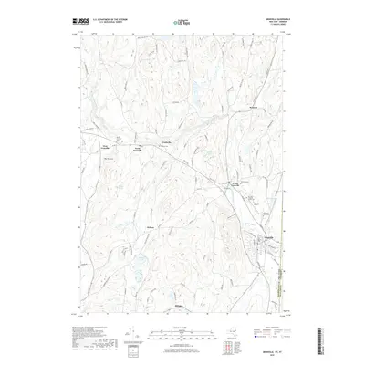
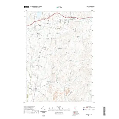
 2023 Granville2023 Print · USGSThe borderlands of Washington County come alive in this recent survey of the hamlets and river valleys along the Vermont state line. Researchers can trace family history through numerous burial grounds like Old Quaker Cem or locate rural settlements such as Raceville and Slyboro.
 - 2024 Map of Benson, 2024 Print
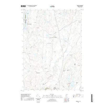
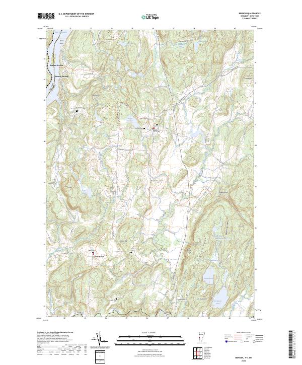 2024 Benson2024 Print · USGSThe borderlands of Rutland County come to life in this contemporary survey of the Lake Champlain shoreline. Genealogists and local historians can trace legacy sites from Benson Landing to several rural burial grounds, including Fair View Cem and Hitchcock Cem.
 - 2024 Map of Poultney, 2024 Print
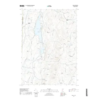
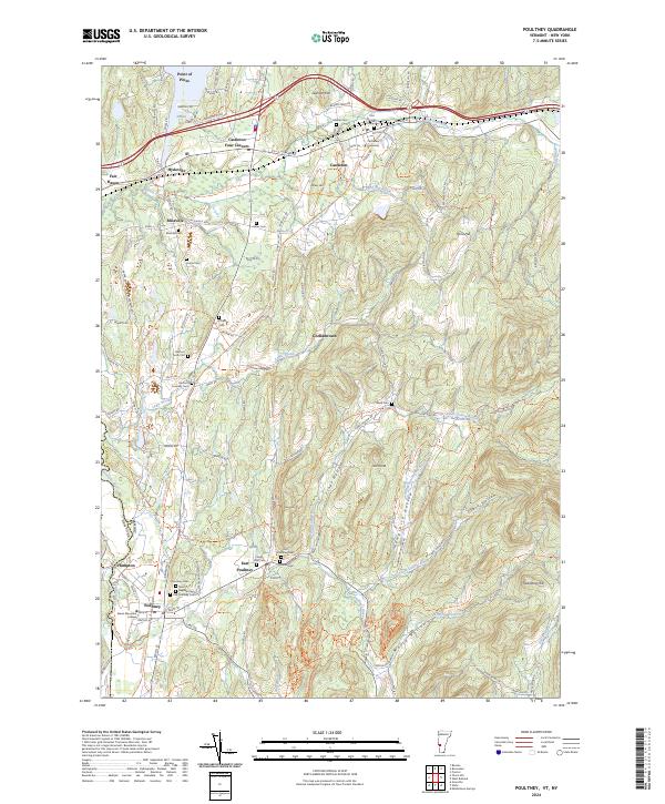 2024 Poultney2024 Print · USGSRutland County, Vermont, at the New York border is shown here in the current era, capturing a landscape of historic college towns and rural cemeteries. Researchers can trace family history at the Old Burying Ground or follow the path of the D&H Rail Trail.
 - 2024 Map of Wells, 2024 Print
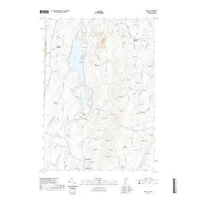
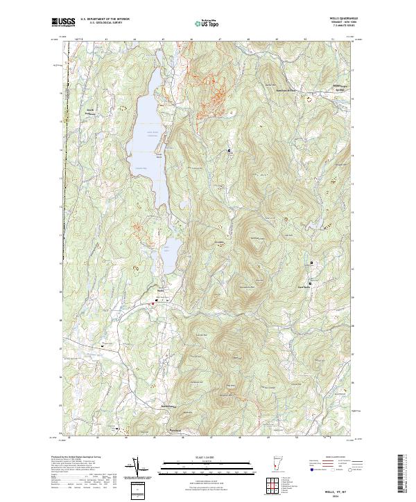 2024 Wells2024 Print · USGSThe Vermont-New York borderlands near Wells come into focus on this recent survey, showing the deep-rooted settlement patterns around Lake Saint Catherine. Researchers can locate several family burying grounds like Barden Cem and trace the historic D&H Rail Trail South Trl corridor.
End of results
Showing maps 1-25 of 25
Top cities near Hampton
- Kingsbury historical maps
- Granville historical maps
- Fort Ann historical maps
- Brandon historical maps
- Whitehall historical maps
- Poultney historical maps
See more
Top neighborhoods of Hampton
Frequently asked questions
- What are the different types of historical maps available for Hampton?
- What is the oldest map of Hampton?
- Where can I purchase historical maps of Hampton for my home or office?
- Where can I download high-res historical maps of Hampton?
- Are there historical topographic maps available for Hampton?
- Is there historical aerial imagery available for Hampton?
- Where are historical maps of Hampton sourced from?