2000s (21st Century) Maps of Briarcliff Manor, Ossining
Explore 10 historic maps of Briarcliff Manor from the 2000s (21st Century). These maps offer a rare glimpse into what life looked like during the 2000s — showing old roads, neighborhoods, homes, and landmarks that have changed or disappeared over time.
Whether you're researching your family's past, planning a metal detecting trip, or studying how Briarcliff Manor's landscape evolved across the 2000s, these high-resolution maps are a powerful tool for exploring the history of this region.
- Focus on a specific era: All maps on this page are from the 2000s, giving you a focused view of this time period.
- See what’s changed: Compare century-old streets, trails, and buildings to today's modern landscape using overlays and satellite layers.
- Research with precision: Use these maps for genealogy, historical research, land use analysis, or educational projects.
- View, download, or print: Maps are fully viewable online in high resolution, and can be downloaded or printed for your own records.
Start exploring Briarcliff Manor's history through authentic maps from the 2000s. This is your window into the past.
Briarcliff Manor, Ossining maps
(10)- 2010 Map of White Plains, 2010 Print
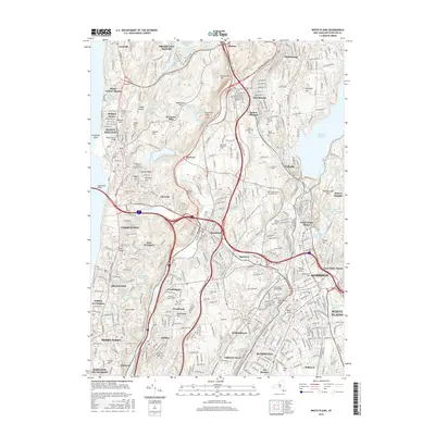
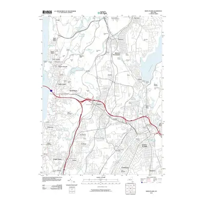 2010 White Plains2010 Print · USGSCovers Briarcliff Manor, including Greenburgh, White Plains, and other nearby areas
 - 2010 Map of Ossining, 2010 Print
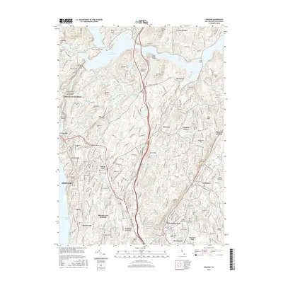
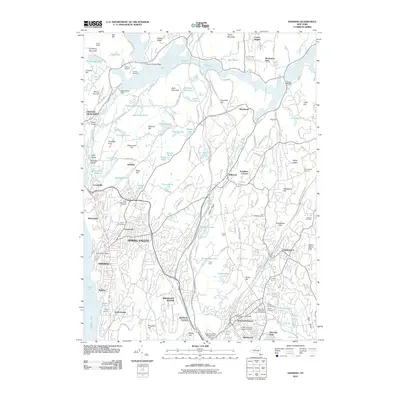 2010 Ossining2010 Print · USGSCovers Briarcliff Manor, including Mount Pleasant, Cortlandt, and other nearby areas
 - 2013 Map of White Plains, 2013 Print
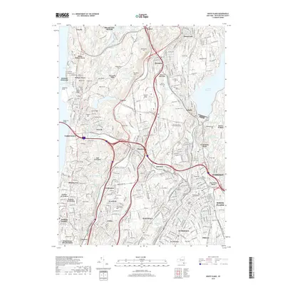
 2013 White Plains2013 Print · USGSCovers Briarcliff Manor, including Greenburgh, White Plains, and other nearby areas
 - 2013 Map of Ossining, 2013 Print
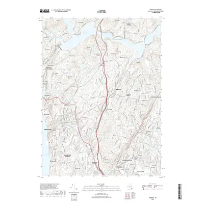
 2013 Ossining2013 Print · USGSCovers Briarcliff Manor, including Mount Pleasant, Cortlandt, and other nearby areas
 - 2016 Map of Ossining, 2016 Print
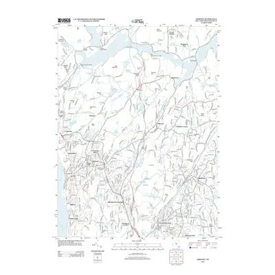
 2016 Ossining2016 Print · USGSCovers Briarcliff Manor, including Mount Pleasant, Cortlandt, and other nearby areas
 - 2016 Map of White Plains, 2016 Print
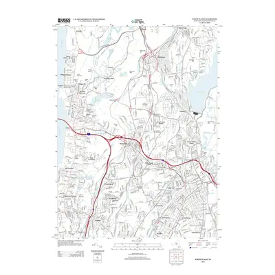
 2016 White Plains2016 Print · USGSCovers Briarcliff Manor, including Greenburgh, White Plains, and other nearby areas
 - 2019 Map of Ossining, 2019 Print
 2019 Ossining2019 Print · USGSCovers Briarcliff Manor, including Mount Pleasant, Cortlandt, and other nearby areas
 - 2019 Map of White Plains, 2019 Print
 2019 White Plains2019 Print · USGSCovers Briarcliff Manor, including Greenburgh, White Plains, and other nearby areas
 - 2023 Map of Ossining, 2023 Print
 2023 Ossining2023 Print · USGSWestchester County is shown here in the 2020s, revealing a dense landscape of suburban growth shaped by its massive water infrastructure. Researchers can trace family sites at Dale Cem or Fair Ridge Cem, while following the historic paths of the New Croton Aqueduct and Saw Mill River Pkwy.
 - 2023 Map of White Plains, 2023 Print
 2023 White Plains2023 Print · USGSCentral Westchester County thrives in this modern survey, showing the interconnectedness of White Plains and its neighboring villages. Researchers can trace ancestral sites at Kensico Cem or locate the historic Westchester County Courthouse.
End of results
Showing maps 1-10 of 10
Top cities near Briarcliff Manor
- New York historical maps
- Oyster Bay historical maps
- Yonkers historical maps
- Ramapo historical maps
- Stamford historical maps
- Greenburgh historical maps
See more
Top neighborhoods of Briarcliff Manor
Frequently asked questions
- What are the different types of historical maps available for Briarcliff Manor?
- What is the oldest map of Briarcliff Manor?
- Where can I purchase historical maps of Briarcliff Manor for my home or office?
- Where can I download high-res historical maps of Briarcliff Manor?
- Are there historical topographic maps available for Briarcliff Manor?
- Is there historical aerial imagery available for Briarcliff Manor?
- Where are historical maps of Briarcliff Manor sourced from?