2000s (21st Century) Maps of Rye Brook, Rye
Explore 10 historic maps of Rye Brook from the 2000s (21st Century). These maps offer a rare glimpse into what life looked like during the 2000s — showing old roads, neighborhoods, homes, and landmarks that have changed or disappeared over time.
Whether you're researching your family's past, planning a metal detecting trip, or studying how Rye Brook's landscape evolved across the 2000s, these high-resolution maps are a powerful tool for exploring the history of this region.
- Focus on a specific era: All maps on this page are from the 2000s, giving you a focused view of this time period.
- See what’s changed: Compare century-old streets, trails, and buildings to today's modern landscape using overlays and satellite layers.
- Research with precision: Use these maps for genealogy, historical research, land use analysis, or educational projects.
- View, download, or print: Maps are fully viewable online in high resolution, and can be downloaded or printed for your own records.
Start exploring Rye Brook's history through authentic maps from the 2000s. This is your window into the past.
Rye Brook, Rye maps
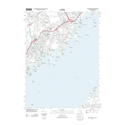
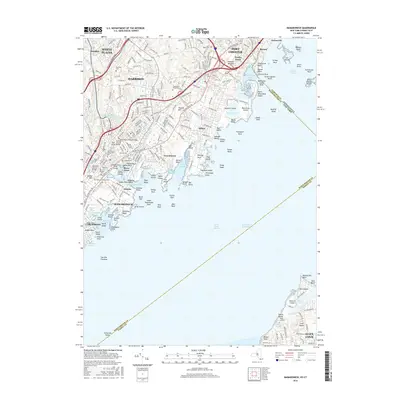
(10)- 2011 Map of Mamaroneck, 2011 Print
 2011 Mamaroneck2011 Print · USGSCovers Rye Brook, including North Hempstead, New Rochelle, and other nearby areas
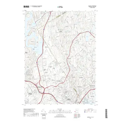
 - 2012 Map of Glenville, 2012 Print
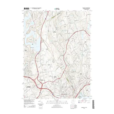
 2012 Glenville2012 Print · USGSCovers Rye Brook, including Greenwich, White Plains, and other nearby areas
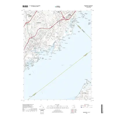
 - 2013 Map of Mamaroneck, 2013 Print
 2013 Mamaroneck2013 Print · USGSCovers Rye Brook, including North Hempstead, New Rochelle, and other nearby areas
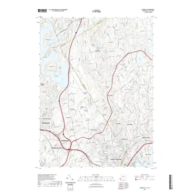
 - 2015 Map of Glenville, 2015 Print
 2015 Glenville2015 Print · USGSCovers Rye Brook, including Greenwich, White Plains, and other nearby areas
 - 2016 Map of Mamaroneck, 2016 Print
 2016 Mamaroneck2016 Print · USGSCovers Rye Brook, including North Hempstead, New Rochelle, and other nearby areas
 - 2018 Map of Glenville, 2018 Print
 2018 Glenville2018 Print · USGSCovers Rye Brook, including Greenwich, White Plains, and other nearby areas
 - 2019 Map of Mamaroneck, 2019 Print
 2019 Mamaroneck2019 Print · USGSCovers Rye Brook, including North Hempstead, New Rochelle, and other nearby areas
 - 2021 Map of Glenville, 2021 Print
 2021 Glenville2021 Print · USGSCovers Rye Brook, including Greenwich, White Plains, and other nearby areas
 - 2023 Map of Mamaroneck, 2023 Print
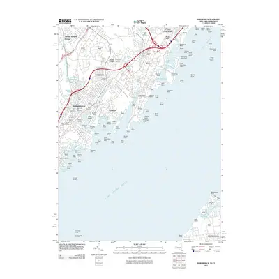
 2023 Mamaroneck2023 Print · USGSThe Westchester coast near the Long Island Sound shows a landscape of dense residential growth and historic burial sites. Genealogists can trace family names at Haviland Cem or Solomon Gedney Burial Ground and study the transit network near Port Chester.
 - 2024 Map of Glenville, 2024 Print
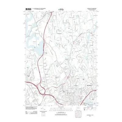
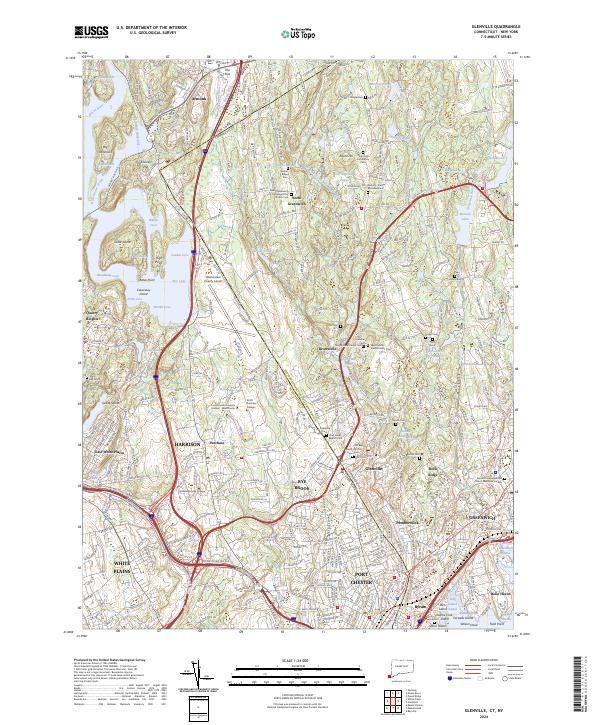 2024 Glenville2024 Print · USGSThe interstate borderlands of Fairfield and Westchester counties are mapped here in the modern era, showing where established estates meet institutional growth. Researchers can trace historic cemeteries like Round Hill Community Cem and Quaker Ridge Cem alongside landmarks such as Westchester County Airport.
End of results
Showing maps 1-10 of 10
Top cities near Rye Brook
- New York historical maps
- Oyster Bay historical maps
- North Hempstead historical maps
- Yonkers historical maps
- Huntington historical maps
- Stamford historical maps
See more
Frequently asked questions
- What are the different types of historical maps available for Rye Brook?
- What is the oldest map of Rye Brook?
- Where can I purchase historical maps of Rye Brook for my home or office?
- Where can I download high-res historical maps of Rye Brook?
- Are there historical topographic maps available for Rye Brook?
- Is there historical aerial imagery available for Rye Brook?
- Where are historical maps of Rye Brook sourced from?