Old Maps of East Arcade, Arcade for Academic Research
Study the evolution of East Arcade with 13 high-resolution historic maps. Whether you're teaching, researching, or modeling changes in land use, these maps provide essential visual documentation of urban, environmental, and geographic change.
- Analyze long-term change: Track patterns in development, transportation, and natural features.
- Ideal for environmental or urban studies: Support academic projects with primary historical map data.
- Use in the classroom or lab: Educators and researchers rely on these maps to bring historical context to life.
These maps are a powerful tool for teaching, research, and visualizing how East Arcade has changed over the decades.
East Arcade, Arcade maps
(13)- 1923 Map of Arcade, 1957 Print
 1923 Arcade1957 Print · USGSWyoming County is captured in the early 1920s, showing a landscape defined by dairy farming and the vital rail connections of the Arcade and Attica. Genealogists can trace family names at Hicks Corners and Toziers Corners, or locate rural landmarks like Klein School and Java Lake.2 unique versions available
 - 1925 Map of Arcade
 1925 Arcade1925 Print · USGSWestern New York’s rural landscape is captured here in the mid-1920s, a time when one-room schoolhouses and family-named crossroads still defined the countryside. Genealogists can trace property vicinities near Java Village, locate the elusive Cheery Tavern, or follow the path of the Arcade and Attica railroad.4 unique versions available
 - 1960 Map of Buffalo
 1960 Buffalo1960 Print · USGSWestern New York and the Niagara Peninsula thrive during the mid-twentieth century industrial peak. Genealogists and historians can trace family-named points and early settlements from Dunkirk Light to the Allegany Indian Reservation.
 - 1962 Map of Buffalo, 1980 Print
 1962 Buffalo1980 Print · USGSThe Niagara Frontier and Western New York are captured here in the early sixties, showing the vital industrial and maritime nexus between the U.S. and Canada. Researchers can trace the path of the Welland Canal, locate the Allegany Indian Reservation, or find family sites near Chautauqua Lake.2 unique versions available
 - 1966 Map of Bliss, 1968 Print
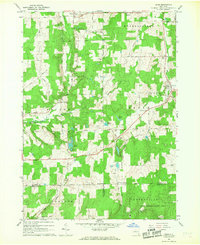 1966 Bliss1968 Print · USGSWestern New York's Wyoming County remains a landscape of rolling woodlots and rural crossroads in the mid-sixties. Genealogists and local historians can trace family-named routes and remote landmarks like Cooley Grave, Waldos Corners, and the hamlets of Bliss and Eagle.2 unique versions available
 - 1967 Map of Buffalo
 1967 Buffalo1967 Print · USGSWestern New York and the Lake Erie shoreline are shown here during the mid-1960s industrial peak. Researchers can trace the massive rail networks of the Erie Railroad, locate the Cattaraugus Indian Reservation, or find historic sites like Fort Erie.
 - 1973 Map of Buffalo
 1973 Buffalo1973 Print · USGSWestern New York and Ontario's Golden Horseshoe meet in the early seventies, spanning from the industrial waterfronts of Buffalo to the hills of Allegany State Park. Trace the paths of the Welland Canal and Erie Lackawanna railroad through the lakefront towns of Dunkirk and Port Colborne.
 - 1984 Map of Buffalo, 1985 Print
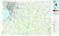 1984 Buffalo1985 Print · USGSWestern New York's industrial and transport hubs are in full view during the mid-eighties, from the Lake Erie waterfront to the Genesee Valley. Researchers can trace the legacy of the Erie Canal, find ancestral sites like Mount Calvary Cem, or locate the Attica Correctional Facility.2 unique versions available
 - 2010 Map of Bliss, 2010 Print
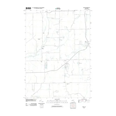 2010 Bliss2010 Print · USGSWestern New York's rural Wyoming County remains a landscape of historic hamlets and family-named crossroads in the early twenty-first century. Genealogists and local historians can locate Saint Mary's Cemetery and trace the paths between Bliss, Eagle, and Waldos Corners.
 - 2013 Map of Bliss, 2013 Print
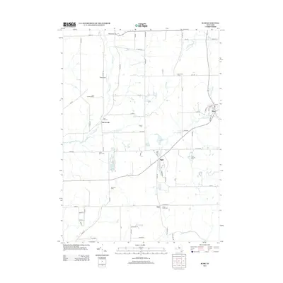 2013 Bliss2013 Print · USGSWestern New York’s rural landscape is captured here in the early twenty-first century, centered on the community of Bliss. Genealogists and local historians can trace family-named sites like Dziedzic Farms and old burial grounds such as Cadwell Corners Cem.
 - 2016 Map of Bliss, 2016 Print
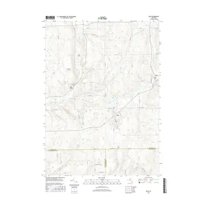 2016 Bliss2016 Print · USGSWestern New York's rural uplands are shown here in the mid-2010s as the agricultural traditions of Wyoming County continue. Researchers can locate family landmarks like Saint Mary's Cem, the small settlements of Bliss and Eagle, and local aviation sites such as Keysa Airport.
 - 2019 Map of Bliss, 2019 Print
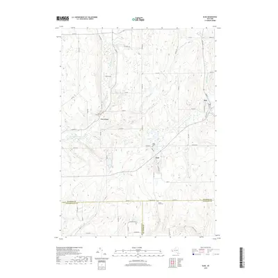 2019 Bliss2019 Print · USGSWestern New York's rural crossroads are captured here in the late 2010s at the junction of Wyoming, Cattaraugus, and Allegany counties. Genealogists can trace burial grounds such as Saint Mary's Cem and old routes near East Arcade or Bliss.
 - 2023 Map of Bliss, 2023 Print
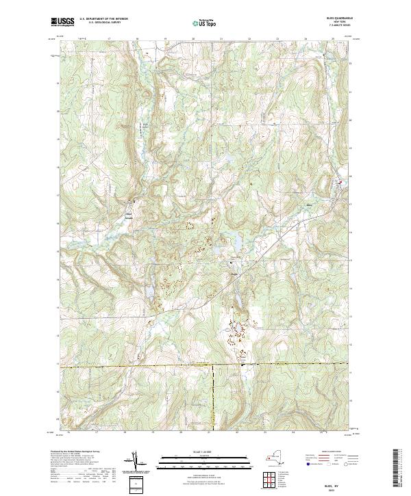 2023 Bliss2023 Print · USGSModern-day Wyoming County remains a landscape of high plateaus and creek headwaters, as seen here in the early twenty-first century. Genealogists and local historians can locate long-standing sites like Saint Mary's Cem, Cadwell Corners, and the settlement of Bliss.
End of results
Showing maps 1-13 of 13
Top cities near East Arcade
- Attica historical maps
- Warsaw historical maps
- Marilla historical maps
- Arcade historical maps
- Yorkshire historical maps
- Warsaw historical maps
See more
Frequently asked questions
- What are the different types of historical maps available for East Arcade?
- What is the oldest map of East Arcade?
- Where can I purchase historical maps of East Arcade for my home or office?
- Where can I download high-res historical maps of East Arcade?
- Are there historical topographic maps available for East Arcade?
- Is there historical aerial imagery available for East Arcade?
- Where are historical maps of East Arcade sourced from?