Old Maps of Gravelton, North Carolina for Genealogy
Trace your family roots with 11 historic maps of Gravelton. These high-res maps reveal old neighborhoods, homesites, landmarks, and streets — helping you uncover where your ancestors lived and how the area evolved over time.
- Explore historic neighborhoods: Identify where your relatives may have lived in the 1800s or 1900s.
- Compare maps over time: Trace the changes in streets, buildings, and landmarks for multi-generational research.
- Perfect for genealogy & ancestry research: Used by family historians and researchers to map out lineage and migration.
These maps are an incredible resource for exploring your personal connection to Gravelton's past.
Gravelton, NC maps
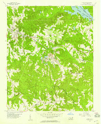
(11)- 1942 Map of Rockingham, 1944 Print
 1942 Rockingham1944 Print · USGSThe North Carolina and South Carolina borderlands come alive in this wartime survey of the Pee Dee River valley. Researchers can trace historic mill sites like Burnt Factory Pond or locate family landmarks such as Roberdell and Old Sneedsboro.
 - 1953 Map of Florence, 1964 Print
 1953 Florence1964 Print · USGSThe Carolina borderlands in the mid-fifties were a landscape of vast river swamps and rising rail towns. Trace the legacy of the Seaboard Air Line through Florence or explore the wetlands surrounding Lake Waccamaw and the Green Swamp.3 unique versions available
 - 1954 Map of Florence
 1954 Florence1954 Print · USGSThe Carolinas borderlands come alive in the early fifties, showing the vital rail-and-river networks of the coastal plain. Genealogists can trace family footprints across the Green Swamp or through settlements like Red Springs, Chadbourn, and McColl.
 - 1956 Map of Lilesville, 1957 Print
 1956 Lilesville1957 Print · USGSLilesville and the surrounding Anson County countryside appear in the mid-1950s as a landscape of industrial mining and deep-rooted rural communities. Researchers can trace family sites like Henry Grove Sch, find old congregations at Gum Springs Ch, and locate the Strip Mine works near the SEABOARD AIR LINE.3 unique versions available
 - 1976 Map of Lilesville, 1978 Print
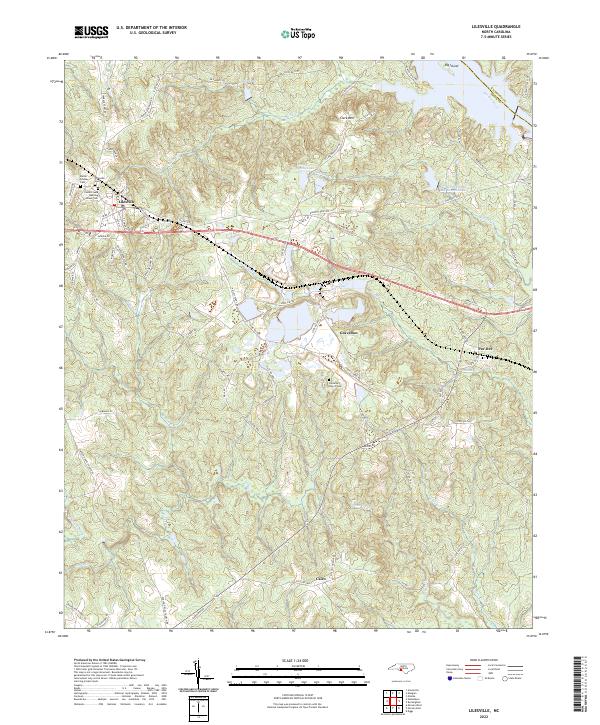
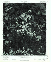 1976 Lilesville1978 Print · USGSThe Anson County landscape in the mid-seventies is revealed through this aerial orthophoto, centered on the town of Lilesville. Researchers can trace the shoreline of Blewett Falls Lake and locate smaller settlements like Cairo among the forest and fields.
 - 1983 Map of Laurinburg, 1984 Print
 1983 Laurinburg1984 Print · USGSThe Carolina borderlands come into focus in the early 1980s, showcasing a landscape defined by the Sandhills Game Land and major river systems. Genealogists and rail historians can trace the paths of the Seaboard Coast Line Railroad through Hamlet or locate St Andrews College and Cheraw State Park.2 unique versions available
 - 2010 Map of Lilesville, 2010 Print
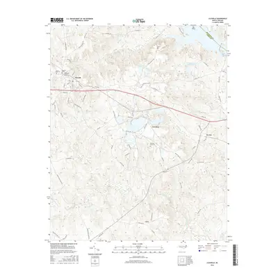
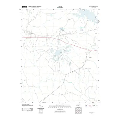 2010 Lilesville2010 Print · USGSCovers Gravelton, including Lilesville, Pee Dee, and other nearby areas
 - 2013 Map of Lilesville, 2013 Print
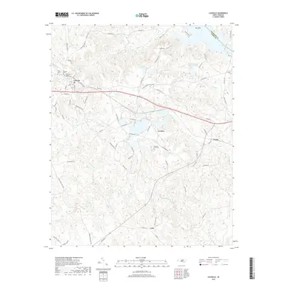
 2013 Lilesville2013 Print · USGSCovers Gravelton, including Lilesville, Pee Dee, and other nearby areas
 - 2016 Map of Lilesville, 2016 Print
 2016 Lilesville2016 Print · USGSCovers Gravelton, including Lilesville, Pee Dee, and other nearby areas
 - 2019 Map of Lilesville, 2019 Print
 2019 Lilesville2019 Print · USGSCovers Gravelton, including Lilesville, Pee Dee, and other nearby areas
 - 2022 Map of Lilesville, 2022 Print
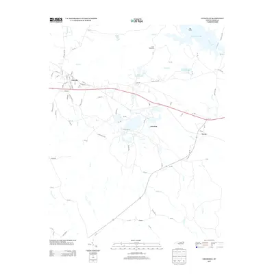
 2022 Lilesville2022 Print · USGSAnson County's river-and-rail landscape is documented here in the early 2020s, centered on the historic crossroads of Lilesville. Genealogists and local historians can trace family burial sites at Cedar Creek Meeting House Cem and the Battle-Lindsey Cem.
End of results
Showing maps 1-11 of 11
Top cities near Gravelton
- Rockingham historical maps
- Hamlet historical maps
- Wadesboro historical maps
- East Rockingham historical maps
- Cordova historical maps
- Chesterfield historical maps
See more
Frequently asked questions
- What are the different types of historical maps available for Gravelton?
- What is the oldest map of Gravelton?
- Where can I purchase historical maps of Gravelton for my home or office?
- Where can I download high-res historical maps of Gravelton?
- Are there historical topographic maps available for Gravelton?
- Is there historical aerial imagery available for Gravelton?
- Where are historical maps of Gravelton sourced from?