2000s (21st Century) Maps of Ingram, North Carolina
Explore 6 historic maps of Ingram from the 2000s (21st Century). These maps offer a rare glimpse into what life looked like during the 2000s — showing old roads, neighborhoods, homes, and landmarks that have changed or disappeared over time.
Whether you're researching your family's past, planning a metal detecting trip, or studying how Ingram's landscape evolved across the 2000s, these high-resolution maps are a powerful tool for exploring the history of this region.
- Focus on a specific era: All maps on this page are from the 2000s, giving you a focused view of this time period.
- See what’s changed: Compare century-old streets, trails, and buildings to today's modern landscape using overlays and satellite layers.
- Research with precision: Use these maps for genealogy, historical research, land use analysis, or educational projects.
- View, download, or print: Maps are fully viewable online in high resolution, and can be downloaded or printed for your own records.
Start exploring Ingram's history through authentic maps from the 2000s. This is your window into the past.
Ingram, NC maps
(6)- 2002 Map of Mangum
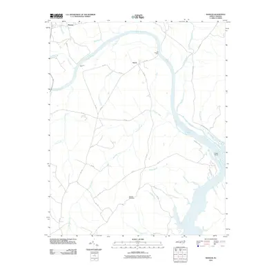
 2002 Mangum2002 Print · USGSThe Pee Dee River basin at the Anson and Richmond county line shows a landscape shaped by river transport and rural community life. Genealogists and local historians can trace family roots through numerous sites like Hebron Ch, Ingram Sch, and the historical Old Stanback Ferry.
 - 2010 Map of Mangum, 2010 Print
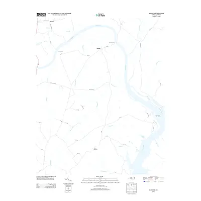
 2010 Mangum2010 Print · USGSCovers Ingram, including Mangum, Richmond County, and other nearby areas
 - 2013 Map of Mangum, 2013 Print
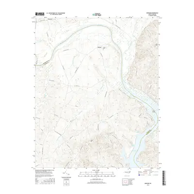
 2013 Mangum2013 Print · USGSCovers Ingram, including Mangum, Richmond County, and other nearby areas
 - 2016 Map of Mangum, 2016 Print
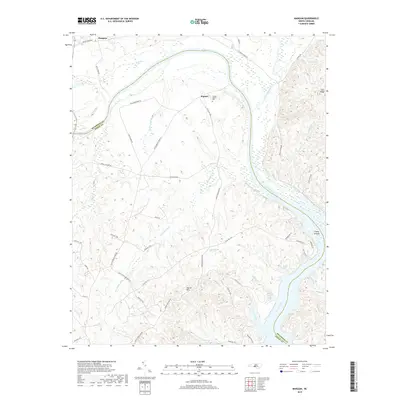
 2016 Mangum2016 Print · USGSCovers Ingram, including Mangum, Richmond County, and other nearby areas
 - 2019 Map of Mangum, 2019 Print
 2019 Mangum2019 Print · USGSCovers Ingram, including Mangum, Richmond County, and other nearby areas
 - 2022 Map of Mangum, 2022 Print
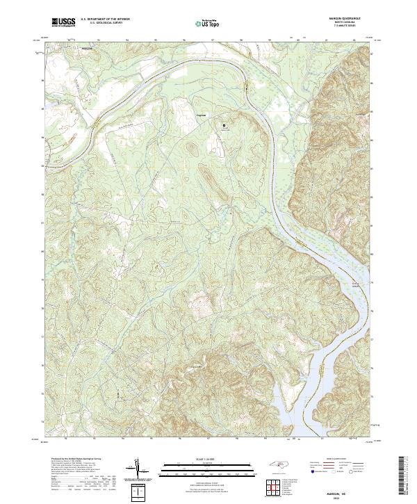 2022 Mangum2022 Print · USGSThe Pee Dee River corridor along the Anson and Richmond county line is documented here in the early 2020s. Researchers can locate the Joseph Ingram Cem and trace old river access points like Smith Ferry Rd near Mangum and Ingram.
End of results
Showing maps 1-6 of 6
Top cities near Ingram
- Albemarle historical maps
- Rockingham historical maps
- Hamlet historical maps
- Wadesboro historical maps
- East Rockingham historical maps
- Norwood historical maps
See more
Frequently asked questions
- What are the different types of historical maps available for Ingram?
- What is the oldest map of Ingram?
- Where can I purchase historical maps of Ingram for my home or office?
- Where can I download high-res historical maps of Ingram?
- Are there historical topographic maps available for Ingram?
- Is there historical aerial imagery available for Ingram?
- Where are historical maps of Ingram sourced from?