2020s Maps of Wadesboro, North Carolina
Explore 2 historic maps of Wadesboro from the 2020s. These maps offer a rare glimpse into what life looked like during the 2020s — showing old roads, neighborhoods, homes, and landmarks that have changed or disappeared over time.
Whether you're researching your family's past, planning a metal detecting trip, or studying how Wadesboro's landscape evolved across the 2020s, these high-resolution maps are a powerful tool for exploring the history of this region.
- Focus on a specific era: All maps on this page are from the 2020s, giving you a focused view of this time period.
- See what’s changed: Compare century-old streets, trails, and buildings to today's modern landscape using overlays and satellite layers.
- Research with precision: Use these maps for genealogy, historical research, land use analysis, or educational projects.
- View, download, or print: Maps are fully viewable online in high resolution, and can be downloaded or printed for your own records.
Start exploring Wadesboro's history through authentic maps from the 2020s. This is your window into the past.
Wadesboro, NC maps
(2)- 2022 Map of Wadesboro, 2022 Print
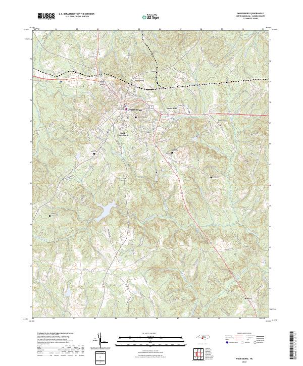 2022 Wadesboro2022 Print · USGSWadesboro and the surrounding Anson County countryside appear in clear detail during the early 2020s. Genealogists can trace family names through landmarks like East View Cem, Wade Mills, and Mount Beaulah Church Cem.
 - 2022 Map of Russellville, 2022 Print
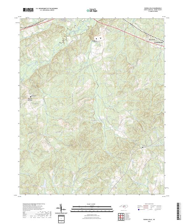 2022 Russellville2022 Print · USGSAnson County in the early twenty-first century reveals a landscape of rural communities and evolving education centers near Polkton. Genealogists and historians can locate family landmarks like Mineral Springs Baptist Church-Cem and the high ground of Gordon Mtn.
End of results
Showing maps 1-2 of 2
Top cities near Wadesboro
- Polkton historical maps
- Chesterfield historical maps
- Ansonville historical maps
- Morven historical maps
- Peachland historical maps
- Lilesville historical maps
See more
Top neighborhoods of Wadesboro
Frequently asked questions
- What are the different types of historical maps available for Wadesboro?
- What is the oldest map of Wadesboro?
- Where can I purchase historical maps of Wadesboro for my home or office?
- Where can I download high-res historical maps of Wadesboro?
- Are there historical topographic maps available for Wadesboro?
- Is there historical aerial imagery available for Wadesboro?
- Where are historical maps of Wadesboro sourced from?