2000s (21st Century) Maps of Avery County, North Carolina
Explore 49 historic maps of Avery County from the 2000s (21st Century). These maps offer a rare glimpse into what life looked like during the 2000s — showing old roads, neighborhoods, homes, and landmarks that have changed or disappeared over time.
Whether you're researching your family's past, planning a metal detecting trip, or studying how Avery County's landscape evolved across the 2000s, these high-resolution maps are a powerful tool for exploring the history of this region.
- Focus on a specific era: All maps on this page are from the 2000s, giving you a focused view of this time period.
- See what’s changed: Compare century-old streets, trails, and buildings to today's modern landscape using overlays and satellite layers.
- Research with precision: Use these maps for genealogy, historical research, land use analysis, or educational projects.
- View, download, or print: Maps are fully viewable online in high resolution, and can be downloaded or printed for your own records.
Start exploring Avery County's history through authentic maps from the 2000s. This is your window into the past.
Avery County, NC maps
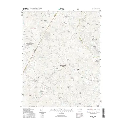
(49)- 2003 Map of Elk Mills, 2004 Print
 2003 Elk Mills2004 Print · USGSWatauga Lake and the Cherokee National Forest dominate the Tennessee and North Carolina border in the early 2000s. Genealogists can locate family landmarks like Wagner Cem and Dry Hill Cem or trace the early community at Elk Mills.
 - 2003 Map of White Rocks Mountain, 2004 Print
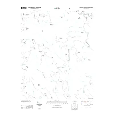
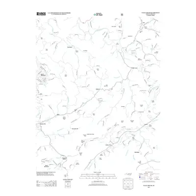
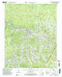 2003 White Rocks Mountain2004 Print · USGSThe Tennessee-North Carolina border country at the start of the 21st century remains a landscape of high ridges and deep family roots. Researchers can trace the communities of Roan Mountain and Burbank, as well as dozens of family burial grounds like Stout Cem and Julian Cem.
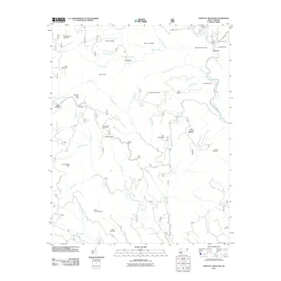
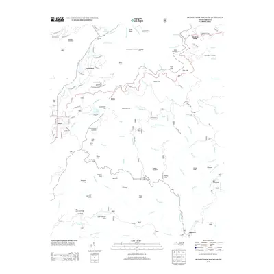
 - 2011 Map of Grandfather Mountain, 2011 Print
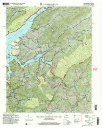
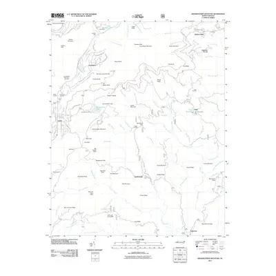 2011 Grandfather Mountain2011 Print · USGSCovers Avery County, including Seven Devils, Sugar Mountain, and other nearby areas
 - 2011 Map of Globe, 2011 Print
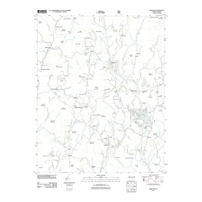
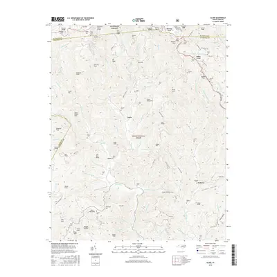
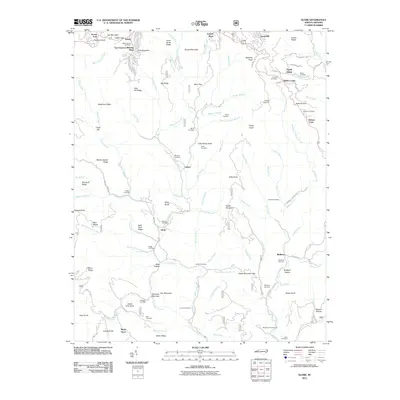 2011 Globe2011 Print · USGSCovers Avery County, including Blowing Rock, Upton, and other nearby areas
 - 2011 Map of Elk Park, 2011 Print
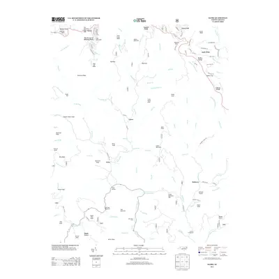
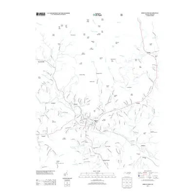
 2011 Elk Park2011 Print · USGSCovers Avery County, including Banner Elk, Elk Park, and other nearby areas
 - 2011 Map of Newland, 2011 Print
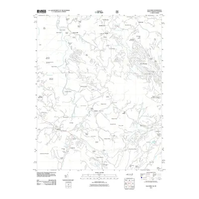
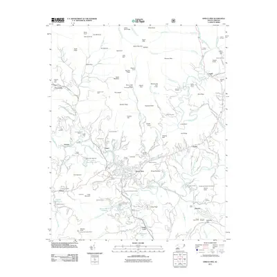
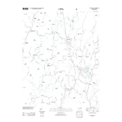
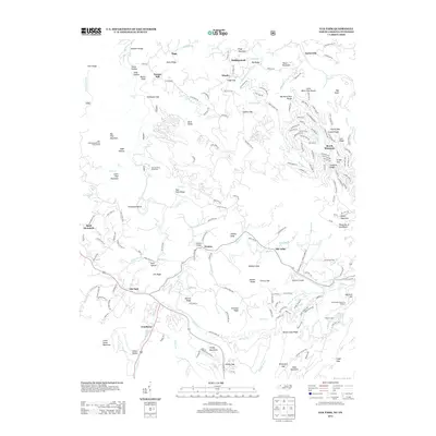
 2011 Newland2011 Print · USGSCovers Avery County, including Newland, Sugar Mountain, and other nearby areas
 - 2011 Map of Valle Crucis, 2011 Print
 2011 Valle Crucis2011 Print · USGSCovers Avery County, including Banner Elk, Seven Devils, and other nearby areas
 - 2011 Map of Linville Falls, 2011 Print
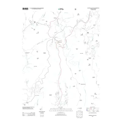
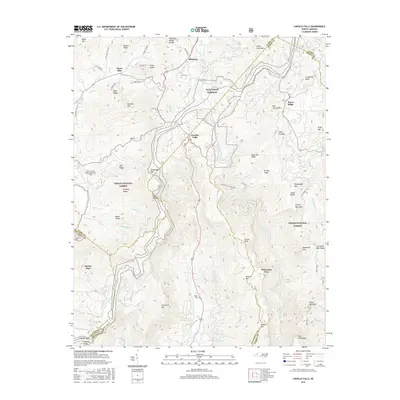
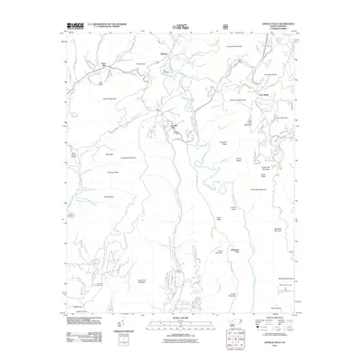 2011 Linville Falls2011 Print · USGSCovers Avery County, including Spruce Pine, Altamont, and other nearby areas
 - 2011 Map of Chestnut Mountain, 2011 Print
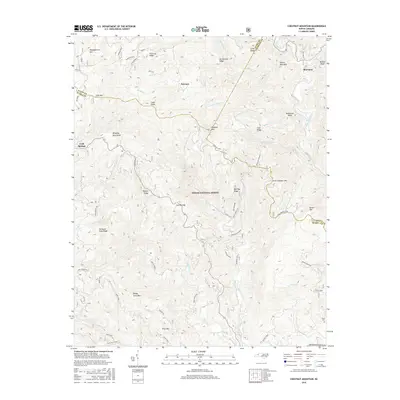
 2011 Chestnut Mountain2011 Print · USGSCovers Avery County, including Mortimer, Kawana, and other nearby areas
 - 2011 Map of Spruce Pine, 2011 Print
 2011 Spruce Pine2011 Print · USGSCovers Avery County, including Spruce Pine, Kalmia, and other nearby areas
 - 2011 Map of Carvers Gap, 2011 Print
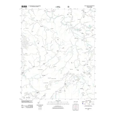
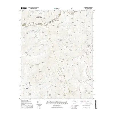
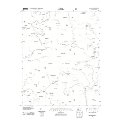 2011 Carvers Gap2011 Print · USGSCovers Avery County, including Valley, Greene Cove, and other nearby areas
 - 2013 Map of Carvers Gap, 2013 Print
 2013 Carvers Gap2013 Print · USGSCovers Avery County, including Valley, Greene Cove, and other nearby areas
 - 2013 Map of Chestnut Mountain, 2013 Print
 2013 Chestnut Mountain2013 Print · USGSCovers Avery County, including Mortimer, Kawana, and other nearby areas
 - 2013 Map of Grandfather Mountain, 2013 Print
 2013 Grandfather Mountain2013 Print · USGSCovers Avery County, including Seven Devils, Sugar Mountain, and other nearby areas
 - 2013 Map of Newland, 2013 Print
 2013 Newland2013 Print · USGSCovers Avery County, including Newland, Sugar Mountain, and other nearby areas
 - 2013 Map of Globe, 2013 Print
 2013 Globe2013 Print · USGSCovers Avery County, including Blowing Rock, Upton, and other nearby areas
 - 2013 Map of Valle Crucis, 2013 Print
 2013 Valle Crucis2013 Print · USGSCovers Avery County, including Banner Elk, Seven Devils, and other nearby areas
 - 2013 Map of Elk Park, 2013 Print
 2013 Elk Park2013 Print · USGSCovers Avery County, including Banner Elk, Elk Park, and other nearby areas
 - 2013 Map of Linville Falls, 2013 Print
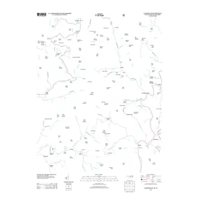
 2013 Linville Falls2013 Print · USGSCovers Avery County, including Spruce Pine, Altamont, and other nearby areas
 - 2013 Map of Spruce Pine, 2013 Print
 2013 Spruce Pine2013 Print · USGSCovers Avery County, including Spruce Pine, Kalmia, and other nearby areas
 - 2016 Map of Carvers Gap, 2016 Print
 2016 Carvers Gap2016 Print · USGSCovers Avery County, including Valley, Greene Cove, and other nearby areas
 - 2016 Map of Linville Falls, 2016 Print
 2016 Linville Falls2016 Print · USGSCovers Avery County, including Spruce Pine, Altamont, and other nearby areas
 - 2016 Map of Chestnut Mountain, 2016 Print
 2016 Chestnut Mountain2016 Print · USGSCovers Avery County, including Mortimer, Kawana, and other nearby areas
 - 2016 Map of Globe, 2016 Print
 2016 Globe2016 Print · USGSCovers Avery County, including Blowing Rock, Upton, and other nearby areas
 - 2016 Map of Elk Park, 2016 Print
 2016 Elk Park2016 Print · USGSCovers Avery County, including Banner Elk, Elk Park, and other nearby areas
Showing maps 1-25 of 49
Top cities of Avery County
- Banner Elk historical maps
- Newland historical maps
- Elk Park historical maps
- Sugar Mountain historical maps
- Crossnore historical maps
- Grandfather historical maps
Frequently asked questions
- What are the different types of historical maps available for Avery County?
- What is the oldest map of Avery County?
- Where can I purchase historical maps of Avery County for my home or office?
- Where can I download high-res historical maps of Avery County?
- Are there historical topographic maps available for Avery County?
- Is there historical aerial imagery available for Avery County?
- Where are historical maps of Avery County sourced from?