Old Maps of Altamont, North Carolina
Explore 15 old maps of Altamont, spanning from 1905 to today. These high-resolution historic maps reveal how streets, neighborhoods, landmarks, and natural features evolved over time — perfect for genealogy, metal detecting, research, and local history exploration.
What you can do with these maps:
- See how Altamont changed over time: Compare historical maps to modern-day views to trace roads, homesites, rail lines & more.
- View detailed metadata: Each map includes creators, publishers, year, scale, and archive source.
- Overlay maps with satellite & LiDAR: Visualize the past alongside modern tools to explore terrain & human change.
- Trusted historical sources: Maps sourced from the USGS, Library of Congress, and other archives.
- Access maps your way: View online, download high-res files, or order prints for personal or research use.
Start exploring old maps of Altamont to uncover forgotten places, hidden landmarks, and the deep history beneath your feet.
Altamont, NC maps
(15)- 1905 Map of Morganton, 1941 Print
 1905 Morganton1941 Print · USGSThe foothills and high peaks of the Blue Ridge come alive in the early twentieth century, centered on the growing towns of Morganton and Lenoir. Genealogists and historians can trace the early rail corridor of the Southern Railway and locate vanished landmarks like Arneys Store and Rutherford College.2 unique versions available
 - 1934 Map of Linville Falls
 1934 Linville Falls1934 Print · USGSAvery County mountain life in the mid-thirties centered on the North Toe River and its rugged ridges. Genealogists can locate family landmarks like Walnut Grove Ch, Brushy Creek Sch, and the Hemphill Mine near the crossing at Heffner Gap.
 - 1953 Map of Charlotte, 1968 Print
 1953 Charlotte1968 Print · USGSThe North Carolina Piedmont and South Carolina borderlands are shown in detail during a period of significant growth and reservoir development. Trace the rail corridors of the Southern Railway or find family roots in towns like China Grove, Misenheimer, and Lincolnton.3 unique versions available
 - 1954 Map of Charlotte
 1954 Charlotte1954 Print · USGSThe North Carolina Piedmont in the mid-1950s shows a region of rapid growth and industrial expansion centered around Charlotte. Trace the era's infrastructure through the Southern railroad lines and locate significant landmarks like the Charlotte Naval Ammunition Depot and Lake Norman.2 unique versions available
 - 1956 Map of Linville Falls, 1958 Print
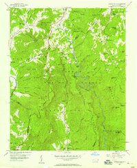 1956 Linville Falls1958 Print · USGSThe High Country of western North Carolina in the mid-fifties is captured here during the development of the Blue Ridge Parkway. Genealogists and hikers can locate Wise Cem, Walnut Grove Ch, and the subterranean depths of Linville Caverns.4 unique versions available
 - 1956 Map of Linville Falls, 1962 Print
 1956 Linville Falls1962 Print · USGSThe North Carolina high country is captured here during the mid-fifties, centered on the steep descent of the Linville River. Genealogists and hikers can trace old mountain communities and landmarks like the South Mtn Institute, Linville Caverns, and Wise Cem.2 unique versions available
 - 1960 Map of Charlotte
 1960 Charlotte1960 Print · USGSMid-century North Carolina and South Carolina meet in this 1960 survey of the Piedmont's industrial and textile heartland. Trace the growth of Charlotte alongside historic landmarks like Kings Mountain National Military Park and the Charlotte Naval Ammunition Depot.2 unique versions available
 - 1962 Map of Charlotte
 1962 Charlotte1962 Print · USGSThe North Carolina Piedmont in the early sixties showcases a landscape transformed by massive reservoirs and industrial growth. Researchers can trace the development of Lake Norman, locate the Charlotte Naval Ammunition Depot, or find family landmarks like Wesley Chapel and Brown & Norcott Mills.
 - 1986 Map of Hickory
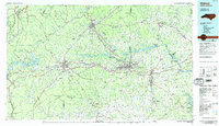 1986 Hickory1986 Print · USGSWestern North Carolina's foothills are seen here in the mid-eighties as textile and furniture towns flourished along the river. Trace the development of Hickory and Lenoir or locate local landmarks like Burke Chapel, Saw Mills, and Rhodhiss Lake.3 unique versions available
 - 1994 Map of Linville Falls, 1996 Print
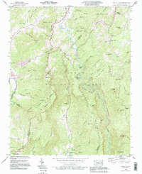 1994 Linville Falls1996 Print · USGSThe Blue Ridge high country of western North Carolina is documented here in the mid-nineties, centered on the dramatic descent of the Linville River. Researchers can locate family landmarks like Wise Cem and Pisgah Ch near the historic Linville Caverns.2 unique versions available
 - 2011 Map of Linville Falls, 2011 Print
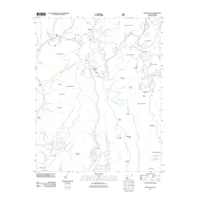 2011 Linville Falls2011 Print · USGSThe Blue Ridge high country is captured here during the early twenty-first century, centered on the dramatic Linville Gorge. Genealogists and local historians can trace family ties at the Wise Cemetery, McKinney Cemetery, and the settlement of Altamont.
 - 2013 Map of Linville Falls, 2013 Print
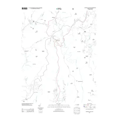 2013 Linville Falls2013 Print · USGSWestern North Carolina’s high-country terrain is captured here in the early twenty-first century, centered on the dramatic descent of the Linville River. Local historians can trace established mountain communities like Altamont and Jonas Ridge alongside the wilderness of the Linville Gorge.
 - 2016 Map of Linville Falls, 2016 Print
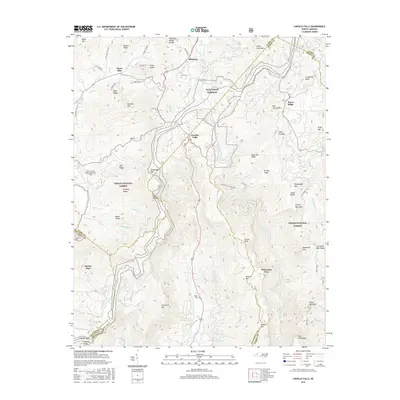 2016 Linville Falls2016 Print · USGSThe High Country of Western North Carolina is documented here during the mid-2010s, centered on the dramatic descent of the Linville River. Researchers can trace old family burial sites like Wise Cem and explore the rugged layout of Linville Gorge and Wisemans View.
 - 2019 Map of Linville Falls, 2019 Print
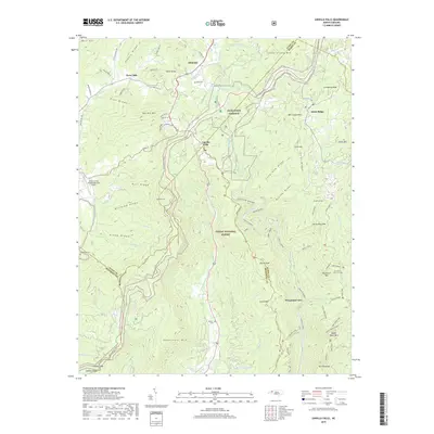 2019 Linville Falls2019 Print · USGSThe Blue Ridge high country is documented here in the late 2010s, centered on the dramatic descent of the Linville River. Genealogists and hikers can locate family names at Wise Cem or trace paths through Linville Gorge and up to Table Rock Mtn.
 - 2022 Map of Linville Falls, 2022 Print
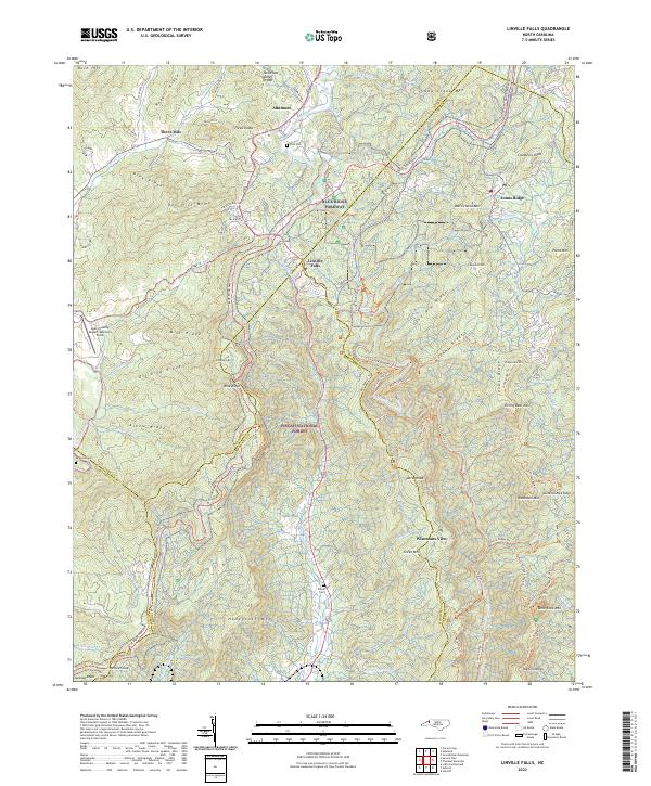 2022 Linville Falls2022 Print · USGSThe Blue Ridge highlands come into focus in this contemporary survey, centering on the descent of the Linville River and the small settlements of Altamont and Linville Falls. Researchers can trace family plots like Wise Cem or follow the path of the Blue Ridge Pkwy past Wisemans View.
End of results
Showing maps 1-15 of 15
Top cities near Altamont
- Morganton historical maps
- Spruce Pine historical maps
- Banner Elk historical maps
- Glen Alpine historical maps
- Newland historical maps
- Elk Park historical maps
See more
Frequently asked questions
- What are the different types of historical maps available for Altamont?
- What is the oldest map of Altamont?
- Where can I purchase historical maps of Altamont for my home or office?
- Where can I download high-res historical maps of Altamont?
- Are there historical topographic maps available for Altamont?
- Is there historical aerial imagery available for Altamont?
- Where are historical maps of Altamont sourced from?