Old Maps of Aulander, North Carolina for Metal Detecting
Plan your next treasure hunt with 15 historic maps of Aulander. Find old homesites, ghost towns, trails, and gathering spots that may be lost to time — perfect for identifying promising metal detecting locations.
- Locate forgotten sites: Uncover places like long-lost settlements, abandoned rail lines, or gathering spots.
- Plan better hunts: Use map overlays combined with LiDAR or satellite views to narrow in on historically rich areas.
- Made for detectorists: Thousands of hobbyists use these maps to discover relics, coins, and hidden history.
Use these historic maps to boost your research and find new opportunities beneath the surface of Aulander.
Aulander, NC maps
(15)- 1953 Map of Norfolk, 1954 Print
 1953 Norfolk1954 Print · USGSCoastal Virginia and northeastern North Carolina appear here during the post-war industrial boom, showing the critical rail-and-sea connections of Hampton Roads. Genealogists can trace family roots through rural landmarks like Gethsemane Ch, the Caledonia State Prison Farm, and the vast interior of the Dismal Swamp.4 unique versions available
 - 1972 Map of Aulander, 1977 Print
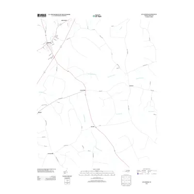
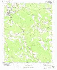 1972 Aulander1977 Print · USGSNortheastern North Carolina farming communities and swamp landscapes are captured here in the early 1970s. Genealogists can locate family-named landmarks and centers of local life like South Aulander Sch, Francis Mill, and Connáritsa Ch.
 - 1973 Map of Kelford, 1977 Print
 1973 Kelford1977 Print · USGSBertie County in the early 1970s is a landscape of established rail towns and productive peanut farms. Genealogists can trace family names through numerous rural cemeteries and local landmarks like Beautiful Zion Ch, West Bertie Sch, and the Peanut Belt Research Station.
 - 1985 Map of Roanoke Rapids
 1985 Roanoke Rapids1985 Print · USGSNorthern North Carolina's river-driven economy is on display here in the mid-1980s, from the hydro-power at Roanoke Rapids to the rural millponds. Genealogists can trace family lands near Wiccacanee Pond, Mush Island, or the remote Urahaw Swamp.2 unique versions available
 - 1997 Map of Kelford, 2000 Print
 1997 Kelford2000 Print · USGSThe interconnected communities of Bertie County appear here in the late twentieth century, showing a landscape defined by agriculture and winding swamp systems. Researchers can locate local landmarks like the Peanut Belt Research Station, Beautiful Zion Ch, and the Roxobel-Kelford Cem.
 - 2010 Map of Aulander, 2010 Print
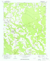
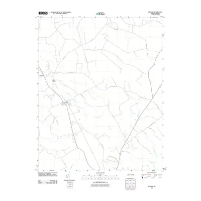
 2010 Aulander2010 Print · USGSCovers Aulander, including Burden, Connaritsa, and other nearby areas
 - 2010 Map of Kelford, 2010 Print
 2010 Kelford2010 Print · USGSCovers Aulander, including Lewiston Woodville, Roxobel, and other nearby areas
 - 2013 Map of Aulander, 2013 Print
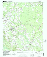
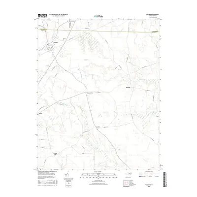
 2013 Aulander2013 Print · USGSCovers Aulander, including Burden, Connaritsa, and other nearby areas
 - 2013 Map of Kelford, 2013 Print
 2013 Kelford2013 Print · USGSCovers Aulander, including Lewiston Woodville, Roxobel, and other nearby areas
 - 2016 Map of Kelford, 2016 Print
 2016 Kelford2016 Print · USGSCovers Aulander, including Lewiston Woodville, Roxobel, and other nearby areas
 - 2016 Map of Aulander, 2016 Print
 2016 Aulander2016 Print · USGSCovers Aulander, including Burden, Connaritsa, and other nearby areas
 - 2019 Map of Aulander, 2019 Print
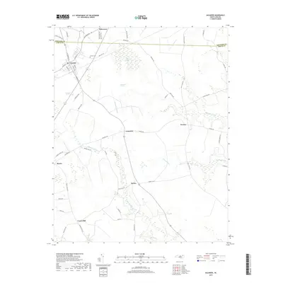 2019 Aulander2019 Print · USGSCovers Aulander, including Burden, Connaritsa, and other nearby areas
 - 2021 Map of Kelford, 2021 Print
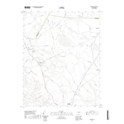 2021 Kelford2021 Print · USGSCovers Aulander, including Lewiston Woodville, Roxobel, and other nearby areas
 - 2022 Map of Kelford, 2022 Print
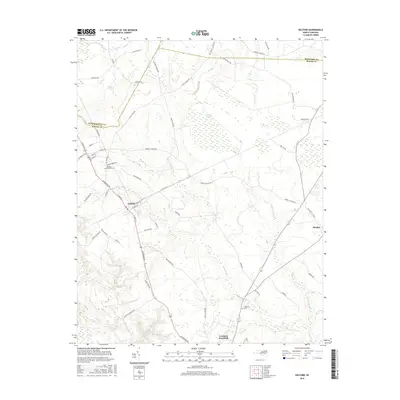
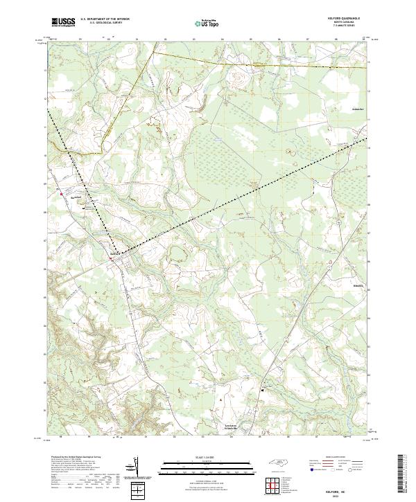 2022 Kelford2022 Print · USGSThe rural landscapes of Bertie and Hertford Counties are detailed in the early 2020s, showing the agricultural heart of northeastern North Carolina. Researchers can locate family landmarks like the Hoggard Cem or trace the drainage of the Cashie River near Roxobel.
 - 2022 Map of Aulander, 2022 Print
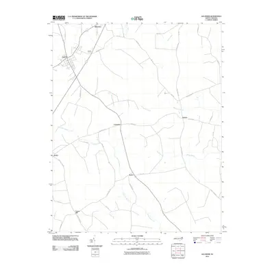
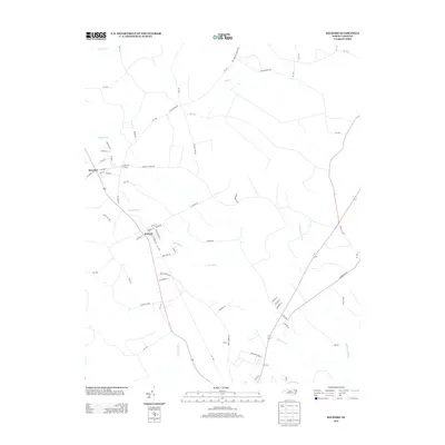
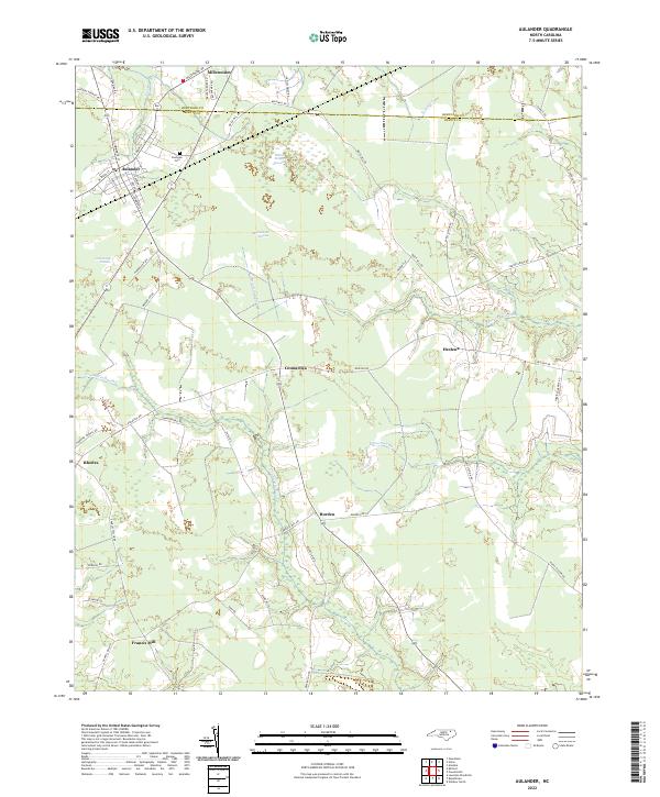 2022 Aulander2022 Print · USGSBertie and Hertford Counties are shown here in the early 2020s, a landscape defined by traditional rural settlements and vast wetlands. Researchers can trace family sites and local geography near Aulander, Eastview Cem, and the waters of Hearts Delight Pocosin.
End of results
Showing maps 1-15 of 15
Top cities near Aulander
- Ahoskie historical maps
- Murfreesboro historical maps
- Windsor historical maps
- Rich Square historical maps
- Winton historical maps
- Woodland historical maps
See more
Frequently asked questions
- What are the different types of historical maps available for Aulander?
- What is the oldest map of Aulander?
- Where can I purchase historical maps of Aulander for my home or office?
- Where can I download high-res historical maps of Aulander?
- Are there historical topographic maps available for Aulander?
- Is there historical aerial imagery available for Aulander?
- Where are historical maps of Aulander sourced from?